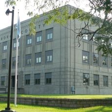
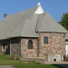
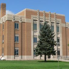
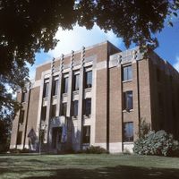
Jerauld County, County in South Dakota, United States
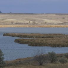
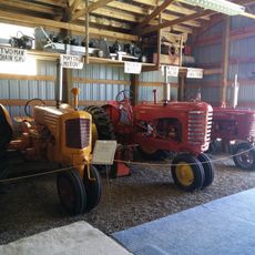
Jerauld County is an administrative division in central South Dakota characterized by rolling terrain and farmland. The landscape consists primarily of agricultural fields where grains and crops are cultivated.
The county was established in 1883 and named after H.J. Jerauld, a legislator who played a role in South Dakota's territorial development. This naming reflected his contributions to the early organization of the region.
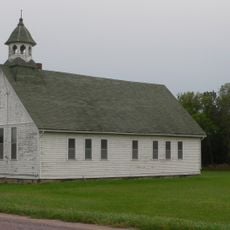
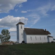
The county's character is deeply rooted in farming practices that have defined community life for generations. Walking through the landscape, visitors encounter endless fields and see how agriculture remains central to how people live and work.
U.S. Highway 281 and State Highways 34 and 224 are the main transportation routes connecting the county. These roads provide access to the wider region and make it easy to travel through and explore.
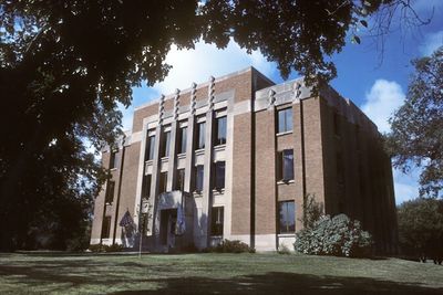
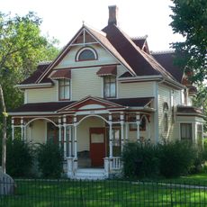
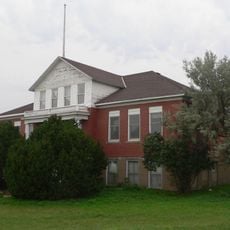
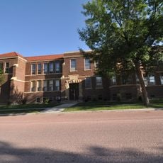
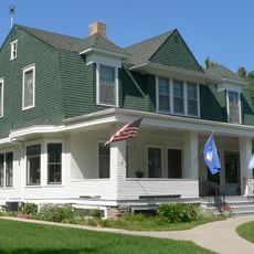
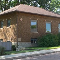
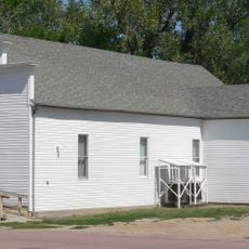
Wessington Springs, the county seat, grew around natural mineral springs that attracted visitors during the 1800s. These thermal waters were once a draw for people seeking natural health treatments and shaped early settlement patterns.
The community of curious travelers
AroundUs brings together thousands of curated places, local tips, and hidden gems, enriched daily by 60,000 contributors worldwide.