Corson County

Log in to your account

AroundUs is a community-driven map of interesting places, built by curious explorers like you. It grows with every review, story, and photo you share.
Connect to save your favorite spots, contribute locations, and create personalized routes.
Continue with Google
Continue with Apple
Continue with X
Continue with Facebook
Continue with email
By continuing, you accept our Terms and Conditions and our Privacy Policy
Create an account
Add to collection
Map
Suggest a change
Share

Corson County, Administrative county in northern South Dakota, United States.

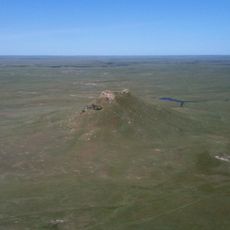
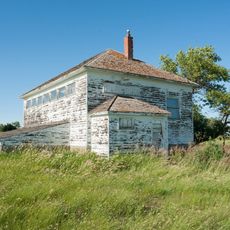
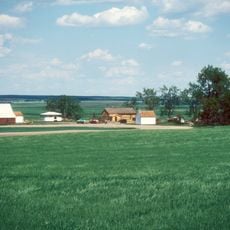
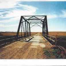
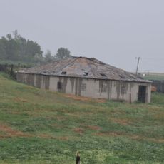
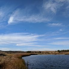
Corson County is an administrative county in northern South Dakota with the Missouri River forming its eastern boundary and the Grand River flowing through its interior. The landscape consists of rolling semi-arid terrain with scattered small communities.

The county was established in 1909 and named after Dighton Corson, a lawyer from Maine who began practicing law in Deadwood in 1877. This timing reflected a broader period of administrative organization across the region.

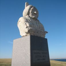
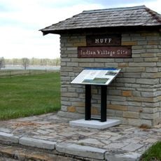
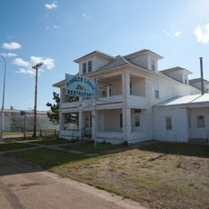
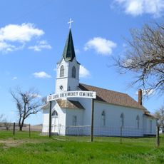
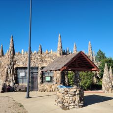
The county sits entirely within the Standing Rock Indian Reservation, where Lakota traditions shape daily life and community identity. These cultural roots are visible in how local communities organize themselves and maintain their way of living.

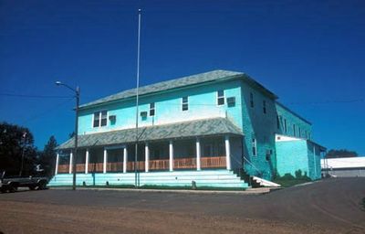
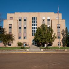
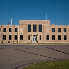
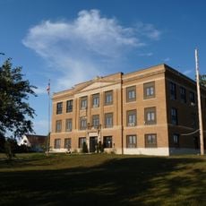
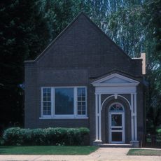
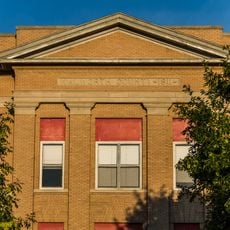
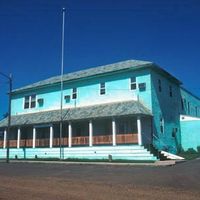
The county courthouse in McIntosh provides administrative services and local information for visitors. Keep in mind this is a sparsely populated area where services and facilities are spread out across the landscape.

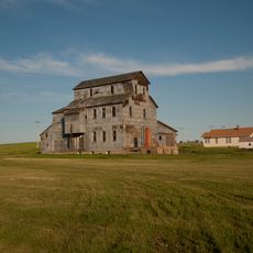
The county ranks as the fifth-largest in South Dakota yet supports a remarkably small population of around 3,900 residents. This combination creates vast open spaces with significant distances between small settlements.

Location: South Dakota

Inception: 1909

Capital city: McIntosh

Shares border with: Sioux County, Adams County, Campbell County, Walworth County, Dewey County, Ziebach County, Perkins County, Emmons County

Website: http://corson.sdcounties.org

GPS coordinates: 45.72000,-101.18000

Latest update: December 8, 2025 13:42

Photos
Around this place
Thunder Butte
United States of America

Thunder Butte

70.5 km
Sitting Bull Monument
United States of America

Sitting Bull Monument

58.6 km
Fort Rice
United States of America

Fort Rice

99.5 km
Ludwig and Christina Welk Homestead
United States of America

Ludwig and Christina Welk Homestead

89.2 km
Huff Archeological Site
United States of America

Huff Archeological Site

108.3 km
Heart Butte Dam
United States of America

Heart Butte Dam

109.1 km
Pretty Rock National Wildlife Refuge
United States of America

Pretty Rock National Wildlife Refuge

84.3 km
Lemmon Petrified Park
United States of America

Lemmon Petrified Park

79.1 km
Molstad Village
United States of America

Molstad Village

70.7 km
Mobridge Masonic Temple
United States of America

Mobridge Masonic Temple

61.6 km
Annunciation Monastery
United States of America

Annunciation Monastery

116.1 km
Our Lady of the Annunciation Chapel at Annunciation Priory
United States of America

Our Lady of the Annunciation Chapel at Annunciation Priory

116.2 km
Hotel Brown
United States of America

Hotel Brown

81.8 km
Hettinger County Courthouse
United States of America

Hettinger County Courthouse

114.8 km
Evangelical Lutheran Trinity Church
United States of America

Evangelical Lutheran Trinity Church

106.1 km
Emmons County Courthouse
United States of America

Emmons County Courthouse

95 km
Cedar Creek Bridge
United States of America

Cedar Creek Bridge

89.1 km
Carson Roller Mill
United States of America

Carson Roller Mill

83.2 km
Ziebach County Courthouse
United States of America

Ziebach County Courthouse

81.9 km
Dakota Club Library
United States of America

Dakota Club Library

80.4 km
United States of America

Holy Spirit Chapel

13.5 km
A. H. Brown Public Library
United States of America

A. H. Brown Public Library

61.5 km
Walworth County Courthouse
United States of America

Walworth County Courthouse

92.3 km
Faith
United States of America

Faith

82.6 km
Laurens Polygonal Hog House
United States of America

Laurens Polygonal Hog House

77 km
Selby Opera House
United States of America

Selby Opera House

93.5 km
Petrified Wood Park & Museum
United States of America

Petrified Wood Park & Museum

79.8 km
Little Moreau State Recreation Area
United States of America

Little Moreau State Recreation Area

41.2 km
Show the full map
Reviews

Visited this place? Tap the stars to rate it and share your experience / photos with the community! Try now! You can cancel it anytime.

Administrative divisions
« Corson County - Administrative county in northern South Dakota, United States » is provided by Around Us (aroundus.com). Images and texts are derived from Wikimedia project under a Creative Commons license. You are allowed to copy, distribute, and modify copies of this page, under the conditions set by the license, as long as this note is clearly visible.

Discover hidden gems everywhere you go!

From secret cafés to breathtaking viewpoints, skip the crowded tourist spots and find places that match your style. Our app makes it easy with voice search, smart filtering, route optimization, and insider tips from travelers worldwide. Download now for the complete mobile experience.

Around Us App Screenshot

A unique approach to discovering new places

Le Figaro

All the places worth exploring

France Info

A tailor-made excursion in just a few clicks

20 Minutes