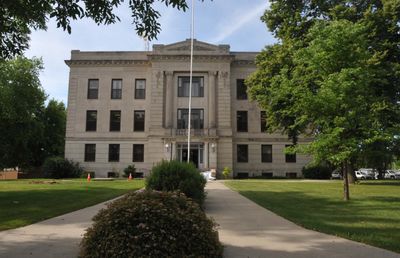
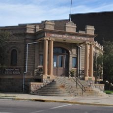
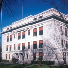
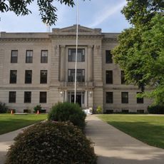
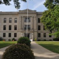
Deuel County, County seat in eastern South Dakota, United States
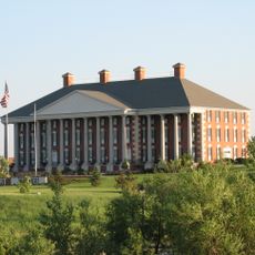
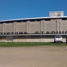
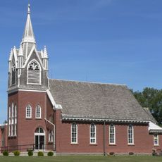
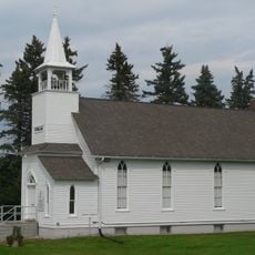
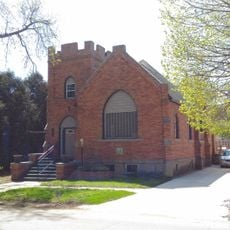
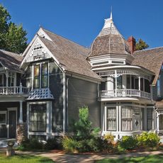
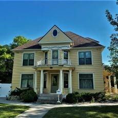
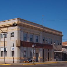
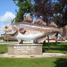
Deuel County is an administrative division in eastern South Dakota with rolling hills and farmland that supports several small towns across its territory. The main communities here are Clear Lake, Gary, Altamont, and Toronto, each serving as a local hub for surrounding rural areas.
The county was established in 1862 and formally organized in 1878, receiving its name from Jacob Deuel, a territorial legislator. This founding period coincided with the early settlement and development of South Dakota as a state.
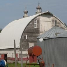
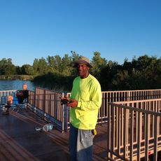
The Crystal Springs Rodeo reflects how farming and ranching remain central to how people here identify themselves and spend their time together.
Interstate 29 and U.S. Highway 212 run through the county, making it easy to move between the main towns and reach nearby areas. The roads are the primary way to navigate and explore what the region has to offer.
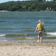
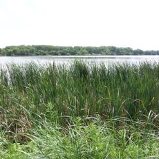
The area contains several state wildlife management areas where local hunting traditions continue throughout the seasons. These spaces reveal how deeply connected residents are to the natural environment around them.
The community of curious travelers
AroundUs brings together thousands of curated places, local tips, and hidden gems, enriched daily by 60,000 contributors worldwide.