Enable Location

We need your location to show you interesting places around you

Discover nearby places

Find interesting locations and hidden gems around you

Precise directions

Get accurate directions and distances to places

Your location is never shared with other users. It's only used when you tap the location button.

Hamlin County

Log in to your account

Start exploring — it's free

Trusted by 62,847 travelers worldwide

Continue with Google
Continue with Apple
or

We will send you a code to connect

By continuing, you accept our Terms and Conditions and our Privacy Policy

Check your inbox

We've sent a pincode in your inbox. Please enter the code below.

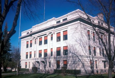
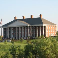
Hamlin County, Administrative county in South Dakota, United States.

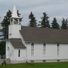
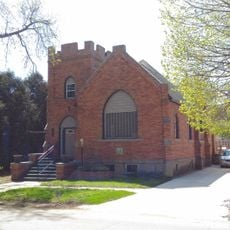
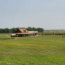
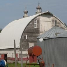
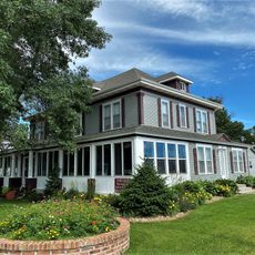
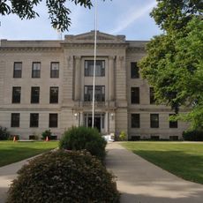
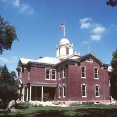
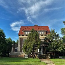
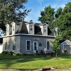
Hamlin County is an administrative county in eastern South Dakota with rolling hills and farmland throughout its landscape. The area includes numerous lakes and is crossed by major highways connecting communities within and beyond its borders.

The county was created in 1873 and named after Hannibal Hamlin, the first vice president to serve under Abraham Lincoln. This connection reflects how westward expansion brought recognition of national political figures to new territories.

Residents carry strong German and Norwegian family roots visible in community gatherings and local traditions. These ancestries shape how people celebrate together and maintain connections across generations.

Interstate 29 and US Highway 81 pass through the area, providing main routes for traveling through and around the county. Most destinations within the region are easily reached using these highways as reference points.

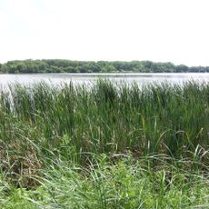
The area contains public hunting grounds including Baxter Slough and other managed facilities open to visitors interested in wildlife. These spaces attract people who want to experience the land's natural conditions and observe animals in their environment.

The community of curious travelers

AroundUs brings together thousands of curated places, local tips, and hidden gems, enriched daily by 60,000 contributors worldwide.

Start exploring
Location
Inception
1873
Capital city
Hayti
Shares border with
Codington County, Deuel County, Brookings County, Kingsbury County, Clark County
GPS coordinates
44.68000,-97.20000
Latest update
December 10, 2025 15:59
Around this place
Redlin Art Center
United States of America

Redlin Art Center

25.6 km
Bramble Park Zoo
United States of America

Bramble Park Zoo

26.1 km
Ingalls House
United States of America

Ingalls House

43.2 km
Oakwood Lakes State Park
United States of America

Oakwood Lakes State Park

30.9 km
Watertown Stadium
United States of America

Watertown Stadium

25.4 km
Mellette House
United States of America

Mellette House

26.1 km
Codington County Heritage Museum
United States of America

Codington County Heritage Museum

25.3 km
Wenona Hall and Wecota Hall
United States of America

Wenona Hall and Wecota Hall

51.9 km
Sterling Methodist Church
United States of America

Sterling Methodist Church

41.2 km
Evangelical United Brethren Church
United States of America

Evangelical United Brethren Church

26.1 km
Laura Ingalls Wilder Homestead
United States of America

Laura Ingalls Wilder Homestead

44 km
Codington County Courthouse
United States of America

Codington County Courthouse

25.3 km
Herman F. Micheel Gothic Arched-Roof Barn
United States of America

Herman F. Micheel Gothic Arched-Roof Barn

43.4 km
Hamlin County Courthouse
United States of America

Hamlin County Courthouse

2.6 km
Arlington Masonic Temple
United States of America

Arlington Masonic Temple

35.7 km
Adam and Minnie Royhl House
United States of America

Adam and Minnie Royhl House

35.6 km
Corson Emminger Round Barn
United States of America

Corson Emminger Round Barn

21.4 km
Clark County Courthouse
United States of America

Clark County Courthouse

47.6 km
Dr. Tarbell House
United States of America

Dr. Tarbell House

25.2 km
Thomas H. Ruth House
United States of America

Thomas H. Ruth House

43.2 km
Deuel County Courthouse and Jail
United States of America

Deuel County Courthouse and Jail

41.6 km
Kingsbury County Courthouse
United States of America

Kingsbury County Courthouse

42.6 km
John B. Hanten House
United States of America

John B. Hanten House

25.4 km
Watertown Commercial Historic District
United States of America

Watertown Commercial Historic District

25.4 km
A.C. Gilruth House
United States of America

A.C. Gilruth House

25.9 km
Kingsbury County Country Club
United States of America

Kingsbury County Country Club

43.7 km
Brookings County Museum
United States of America

Brookings County Museum

45.2 km
Brookings Veterans Memorial
United States of America

Brookings Veterans Memorial

51.2 km
Show the full map
Administrative divisions
« Hamlin County - Administrative county in South Dakota, United States » is provided by Around Us (aroundus.com). Images and texts are derived from Wikimedia project under a Creative Commons license. You are allowed to copy, distribute, and modify copies of this page, under the conditions set by the license, as long as this note is clearly visible.

Discover hidden gems everywhere you go!

From secret cafés to breathtaking viewpoints, skip the crowded tourist spots and find places that match your style. Our app makes it easy with voice search, smart filtering, route optimization, and insider tips from travelers worldwide. Download now for the complete mobile experience.

Around Us App Screenshot

A unique approach to discovering new places

Le Figaro

All the places worth exploring

France Info

A tailor-made excursion in just a few clicks

20 Minutes

Around Us
Travel Guide & Maps
Download

Send to your phone

QR Code
1

Open the camera app on your mobile.

2

Point at the QR code with your camera. A notification will appear.

3

Tap the notification to open the link.