Enable Location

We need your location to show you interesting places around you

Discover nearby places

Find interesting locations and hidden gems around you

Precise directions

Get accurate directions and distances to places

Your location is never shared with other users. It's only used when you tap the location button.

Walworth County

Log in to your account

Start exploring — it's free

Trusted by 62,846 travelers worldwide

Continue with Google
Continue with Apple
or

We will send you a code to connect

By continuing, you accept our Terms and Conditions and our Privacy Policy

Check your inbox

We've sent a pincode in your inbox. Please enter the code below.

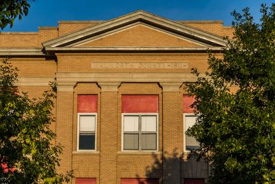
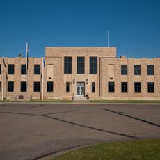
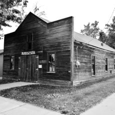
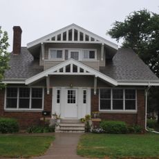
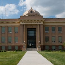
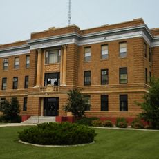
Walworth County, Administrative county in South Dakota, United States

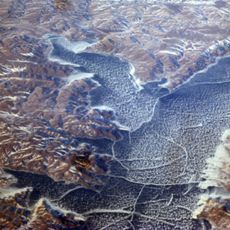
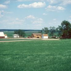
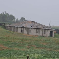
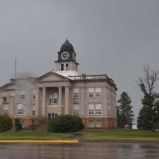
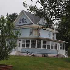
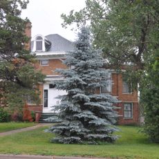
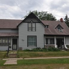
Walworth County is an administrative county located in northern South Dakota with a landscape of rolling terrain and farming communities. The area encompasses multiple towns and rural settlements spread across its expansive territory.

The territory was established as an administrative unit in 1873 and formally organized in 1883, taking its name from a county of the same name in Wisconsin. Its creation was part of the broader administrative development of the Dakota Territory during westward expansion.

The population includes a mix of European descendants and Native American communities, with 82.6 percent white and 14.3 percent American Indian residents.

The county is best explored by car since communities are spread across a wide area and public transportation is limited. Most local services and businesses are found in the main towns and are accessible during standard business hours.

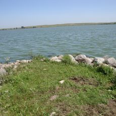
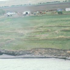
The territory contains several protected natural areas, including Blue Blanket Lake State Game Production Area and Spring Lake State Recreation Area. These protected spaces provide habitat for local wildlife and serve outdoor recreation purposes.

The community of curious travelers

AroundUs brings together thousands of curated places, local tips, and hidden gems, enriched daily by 60,000 contributors worldwide.

Start exploring
Location
Inception
1873
Capital city
Selby
Shares border with
Campbell County, Potter County, McPherson County, Edmunds County, Dewey County, Corson County
GPS coordinates
45.43000,-100.03000
Latest update
December 10, 2025 15:49
Around this place
Lake Oahe
United States of America

Lake Oahe

112.8 km
Pierre Shale
Canada

Pierre Shale

119.1 km
Sitting Bull Monument
United States of America

Sitting Bull Monument

36.8 km
Ludwig and Christina Welk Homestead
United States of America

Ludwig and Christina Welk Homestead

81.4 km
Beaver Lake State Park
United States of America

Beaver Lake State Park

112.8 km
Molstad Village
United States of America

Molstad Village

25.5 km
Mobridge Masonic Temple
United States of America

Mobridge Masonic Temple

33.7 km
Emmons County Courthouse
United States of America

Emmons County Courthouse

94.5 km
G.L. Stocker Blacksmith Shop
United States of America

G.L. Stocker Blacksmith Shop

47 km
Dakota Club Library
United States of America

Dakota Club Library

106 km
D.H. and Leah Curran House
United States of America

D.H. and Leah Curran House

47.2 km
United States of America

Holy Spirit Chapel

100.8 km
McIntosh County Courthouse
United States of America

McIntosh County Courthouse

84.7 km
Bank of Bowdle
United States of America

Bank of Bowdle

29.5 km
Pierre Masonic Lodge
United States of America

Pierre Masonic Lodge

91.5 km
A. H. Brown Public Library
United States of America

A. H. Brown Public Library

33.7 km
McPherson County Courthouse
United States of America

McPherson County Courthouse

91 km
Ipswich State Bank
United States of America

Ipswich State Bank

78.5 km
Walworth County Courthouse
United States of America

Walworth County Courthouse

8.6 km
Frank and Clara Turner House
United States of America

Frank and Clara Turner House

82.9 km
Laurens Polygonal Hog House
United States of America

Laurens Polygonal Hog House

98.9 km
Sully County Courthouse
United States of America

Sully County Courthouse

80.7 km
George Holland House
United States of America

George Holland House

46.6 km
Potter County Courthouse
United States of America

Potter County Courthouse

47.2 km
Faulkton American Legion Hall
United States of America

Faulkton American Legion Hall

83.4 km
L.E. Snyder House
United States of America

L.E. Snyder House

80.7 km
Gov. Frank M. Byrne House
United States of America

Gov. Frank M. Byrne House

83.4 km
Selby Opera House
United States of America

Selby Opera House

8.6 km
Show the full map
Administrative divisions
« Walworth County - Administrative county in South Dakota, United States » is provided by Around Us (aroundus.com). Images and texts are derived from Wikimedia project under a Creative Commons license. You are allowed to copy, distribute, and modify copies of this page, under the conditions set by the license, as long as this note is clearly visible.

Discover hidden gems everywhere you go!

From secret cafés to breathtaking viewpoints, skip the crowded tourist spots and find places that match your style. Our app makes it easy with voice search, smart filtering, route optimization, and insider tips from travelers worldwide. Download now for the complete mobile experience.

Around Us App Screenshot

A unique approach to discovering new places

Le Figaro

All the places worth exploring

France Info

A tailor-made excursion in just a few clicks

20 Minutes

Around Us
Travel Guide & Maps
Download

Send to your phone

QR Code
1

Open the camera app on your mobile.

2

Point at the QR code with your camera. A notification will appear.

3

Tap the notification to open the link.