Fall River County, County in southwestern South Dakota, United States.
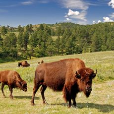
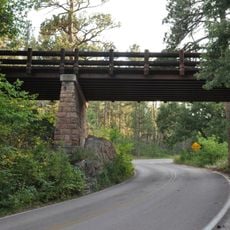
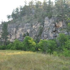
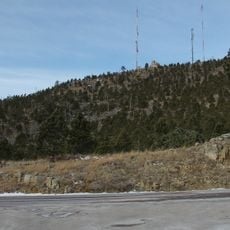
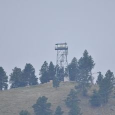
Fall River County covers an area of rolling terrain in southwestern South Dakota with forested regions and protected natural areas scattered throughout. The landscape is defined by hills and mountainous sections, with the Black Hills National Forest occupying a significant portion of the county.
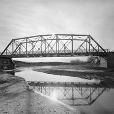
The county was established in 1883 and takes its name from the Fall River, a waterway that played a key role in early settlement. The founding occurred during a period of regional expansion and development in the area.
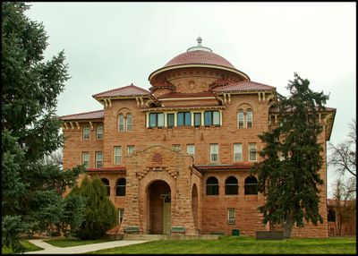
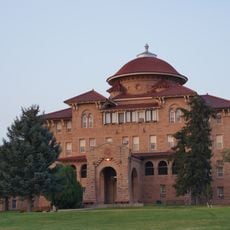
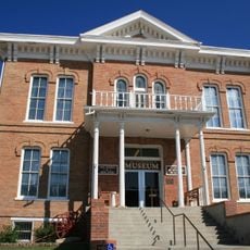
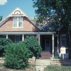
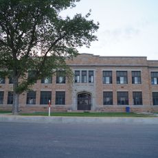
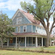
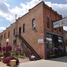
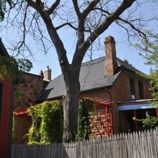
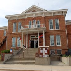
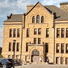
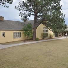
Hot Springs, the county seat, functions as the gathering place where residents and visitors encounter the region's local character and community life. The town reflects the heritage of the area through its buildings and the way people use the main streets.
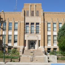
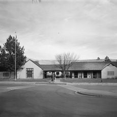
Administrative services are available in Hot Springs during weekday business hours at the county office location. The area is best explored during spring through fall when weather conditions are favorable and outdoor activities are most enjoyable.
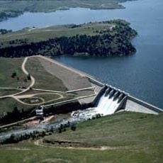
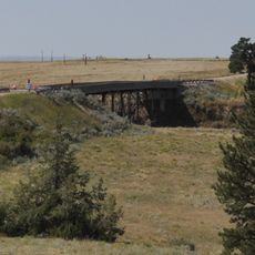
The Angostura Reservoir is an artificial lake that offers fishing and boating opportunities while serving as a wildlife management area. Visitors often discover that this water body provides unexpected recreation options in the midst of the surrounding hillside landscape.
Location: South Dakota
Inception: 1883
Capital city: Hot Springs
Shares border with: Custer County, Oglala Lakota County, Dawes County, Sioux County, Niobrara County
Website: http://fallriver.sdcounties.org
GPS coordinates: 43.25000,-103.52000
Latest update: December 10, 2025 15:56
Custer State Park
55.8 km
Mammoth Site, Hot Springs
19.7 km
Toadstool Geologic Park
43 km
Hudson-Meng Bison Kill
46.7 km
Angostura Reservoir
9.3 km
Battle Mountain Sanitarium
21 km
Angostura Dam
12.4 km
Evans Plunge
21.6 km
DSD Bridge over Cheyenne River
53 km
1881 Courthouse Museum
57.8 km
Governor Leslie Jensen House
20.4 km
Dawes County Courthouse
49 km
Hot Springs High School
20.3 km
Pig Tail Bridge
39.1 km
State Soldiers Home Barn
20.9 km
Wind Cave
34.4 km
Arthur and Ellen Colgan House
25.5 km
Wind Cave National Park Administrative and Utility Area Historic District
34.3 km
Garlock Building
58.1 km
Chilson Bridge
19.5 km
Phillip Wesch House
21 km
Custer County Courthouse
57.9 km
Beaver Creek Rockshelter
37.1 km
Beaver Creek Bridge
37.3 km
Mount Coolidge Lookout Tower
55.2 km
Rankin Ridge Lookout Tower
41.9 km
Pioneer Museum
20.7 km
Wind Cave Visitor Center
34.3 kmVisited this place? Tap the stars to rate it and share your experience / photos with the community! Try now! You can cancel it anytime.
Discover hidden gems everywhere you go!
From secret cafés to breathtaking viewpoints, skip the crowded tourist spots and find places that match your style. Our app makes it easy with voice search, smart filtering, route optimization, and insider tips from travelers worldwide. Download now for the complete mobile experience.
A unique approach to discovering new places❞
— Le Figaro
All the places worth exploring❞
— France Info
A tailor-made excursion in just a few clicks❞
— 20 Minutes