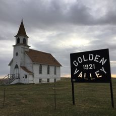
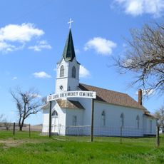
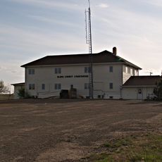
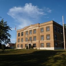
Perkins County, County seat in northwestern South Dakota, US
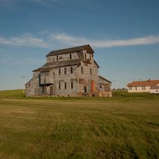
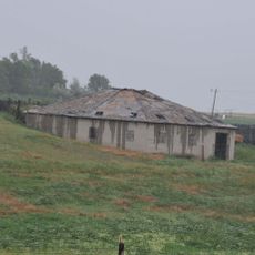
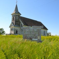
Perkins County is an administrative division in northwestern South Dakota covering semi-arid prairie and farmland. The region includes two main towns, Bison and Lemmon, connected by rural roads across rolling terrain.
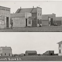
Perkins County was established in 1909 from parts of Butte and Harding Counties. It was named after Henry E. Perkins, an administrator from Sturgis.
The county maintains two incorporated municipalities, Bison and Lemmon, along with 41 organized townships and 24 unorganized territories across its jurisdiction.
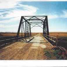
The area is most accessible during warmer months when rural roads are in good condition. Winter weather can be harsh here, so plan accordingly and check local conditions before visiting.
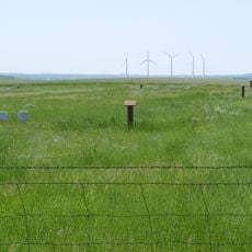
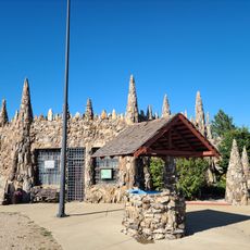
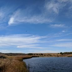
A significant portion of the Grand River National Grassland lies within the county and opens public lands for outdoor activities and conservation. This grassland supports native plants and wildlife habitats that visitors can explore.
Location: South Dakota
Inception: 1909
Capital city: Bison
Shares border with: Adams County, Harding County, Meade County, Corson County, Ziebach County, Butte County
Website: http://perkinscounty.org
GPS coordinates: 45.50000,-102.48000
Latest update: December 7, 2025 19:22
Geographic center of the United States
117.3 km
Thunder Butte
50.9 km
Bear Butte
136.2 km
Enchanted Highway
103.4 km
Richardton meteorite
126.3 km
Fort Dilts
132.7 km
Pretty Rock National Wildlife Refuge
94 km
Lemmon Petrified Park
55 km
Golden Valley Norwegian Lutheran Church
55.9 km
Hettinger County Courthouse
98.1 km
Evangelical Lutheran Trinity Church
118.3 km
Cedar Creek Bridge
64.4 km
Original Slope County Courthouse
127.2 km
Carson Roller Mill
124.4 km
Ziebach County Courthouse
85.3 km
Dakota Club Library
112.4 km
Adams County Courthouse
57.1 kmHoly Spirit Chapel
93.6 km
First Congregational United Church of Christ
142.1 km
Peace Valley Evangelical Church and Cemetery
54.2 km
Faith
36.1 km
Laurens Polygonal Hog House
116.3 km
Thomas Haskins Gay House
141.9 km
Belle Fourche Commercial Historic District
141.9 km
Belle Fourche Band Shell
142 km
Petrified Wood Park & Museum
55 km
Neuburg Congregational Church
123.6 km
Little Moreau State Recreation Area
109 kmVisited this place? Tap the stars to rate it and share your experience / photos with the community! Try now! You can cancel it anytime.
Discover hidden gems everywhere you go!
From secret cafés to breathtaking viewpoints, skip the crowded tourist spots and find places that match your style. Our app makes it easy with voice search, smart filtering, route optimization, and insider tips from travelers worldwide. Download now for the complete mobile experience.
A unique approach to discovering new places❞
— Le Figaro
All the places worth exploring❞
— France Info
A tailor-made excursion in just a few clicks❞
— 20 Minutes