Enable Location

We need your location to show you interesting places around you

Discover nearby places

Find interesting locations and hidden gems around you

Precise directions

Get accurate directions and distances to places

Your location is never shared with other users. It's only used when you tap the location button.

Lawrence County

Log in to your account

Start exploring — it's free

Trusted by 61,362 travelers worldwide

Continue with Google
Continue with Apple
or

We will send you a code to connect

By continuing, you accept our Terms and Conditions and our Privacy Policy

Check your inbox

We've sent a pincode in your inbox. Please enter the code below.

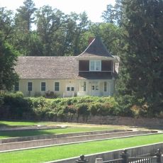
Lawrence County, Administrative division in South Dakota, US.

Description

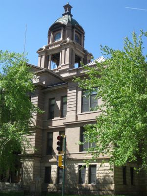
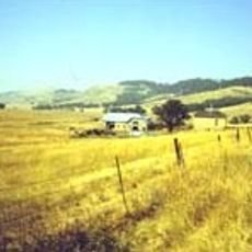
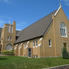
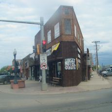
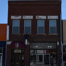
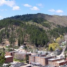
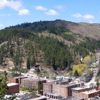
Lawrence County is an administrative division in western South Dakota that encompasses mountains, forests, and multiple communities. The area covers approximately 800 square miles and includes Deadwood, a historically significant city in the region.

History

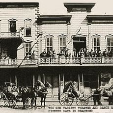
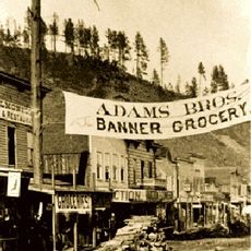
The county was established in 1875 and named after Colonel John Lawrence, who served as the first treasurer of the jurisdiction. Its founding came during the period when gold discoveries in the Black Hills were drawing settlers to the area.

Culture

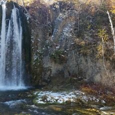
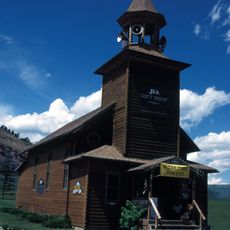
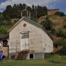
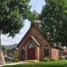
The county carries strong ties to the Gold Rush era and to the Indigenous peoples whose presence shaped the landscape for centuries. Names of towns and landmarks reflect both the mining heritage and the deeper roots of the region.

Practical

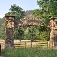
The region is easy to navigate as main roads connect the different towns and communities throughout the area. The best time to explore is during warmer months when mountain roads are clear and accessible.

Did you know?

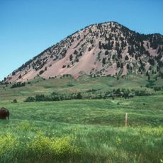
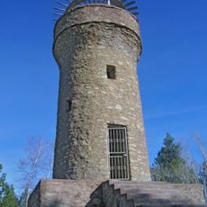
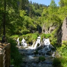
Crooks Tower is the highest point in the county, standing at over 7,100 feet and offering hikers a rewarding climb with sweeping views. The peak is a destination for those seeking mountain wilderness and panoramic perspectives of the region.

Location
Inception
1875
Capital city
Deadwood
Shares border with
Butte County, Meade County, Pennington County, Weston County, Crook County
GPS coordinates
44.36000,-103.79000
Latest update
December 7, 2025 10:07

AroundUs brings together thousands of curated places, local tips, and hidden gems, enriched daily by 60,000 contributors worldwide. Discover all places nearby (South Dakota).

Around this place
Gem Theatre
United States of America

Gem Theatre

5.3 km
Bear Butte
United States of America

Bear Butte

31.6 km
United States of America

Deep Underground Science and Engineering Laboratory

2.1 km
Bella Union Saloon
United States of America

Bella Union Saloon

5.2 km
Spearfish Canyon
United States of America

Spearfish Canyon

13.9 km
Black Hills National Cemetery
United States of America

Black Hills National Cemetery

25 km
Ranch A
United States of America

Ranch A

29.6 km
Mount Theodore Roosevelt Monument
United States of America

Mount Theodore Roosevelt Monument

4.9 km
Frawley Ranch
United States of America

Frawley Ranch

14.3 km
D.C. Booth Historic National Fish Hatchery
United States of America

D.C. Booth Historic National Fish Hatchery

14.6 km
Fort Meade National Cemetery
United States of America

Fort Meade National Cemetery

25.4 km
Roughlock Falls Nature Area
United States of America

Roughlock Falls Nature Area

12.3 km
Old Finnish Lutheran Church
United States of America

Old Finnish Lutheran Church

2.2 km
St. Lawrence O'Toole Catholic Church
United States of America

St. Lawrence O'Toole Catholic Church

2.2 km
Episcopal Church of All Angels
United States of America

Episcopal Church of All Angels

15.9 km
Tomahawk Lake Country Club
United States of America

Tomahawk Lake Country Club

11.4 km
First Congregational United Church of Christ
United States of America

First Congregational United Church of Christ

34.5 km
James A. Corbin House
United States of America

James A. Corbin House

15.1 km
Spearfish Filling Station
United States of America

Spearfish Filling Station

15.5 km
Webb S. Knight House
United States of America

Webb S. Knight House

15.3 km
Thomas Haskins Gay House
United States of America

Thomas Haskins Gay House

34.9 km
Belle Fourche Commercial Historic District
United States of America

Belle Fourche Commercial Historic District

35.1 km
Belle Fourche Band Shell
United States of America

Belle Fourche Band Shell

34.5 km
Arthur Hewes House
United States of America

Arthur Hewes House

15.9 km
Sturgis Commercial Block
United States of America

Sturgis Commercial Block

23.1 km
Saab Heritage Car Museum USA - Sturgis Car Museum
United States of America

Saab Heritage Car Museum USA - Sturgis Car Museum

22.9 km
Termesphere Gallery
United States of America

Termesphere Gallery

11.2 km
Deadwood Historic District
United States of America

Deadwood Historic District

4.7 km
Show the full map
Administrative divisions
« Lawrence County - Administrative division in South Dakota, US » is provided by Around Us (aroundus.com). Images and texts are derived from Wikimedia project under a Creative Commons license. You are allowed to copy, distribute, and modify copies of this page, under the conditions set by the license, as long as this note is clearly visible.

Discover hidden gems everywhere you go!

From secret cafés to breathtaking viewpoints, skip the crowded tourist spots and find places that match your style. Our app makes it easy with voice search, smart filtering, route optimization, and insider tips from travelers worldwide. Download now for the complete mobile experience.

Around Us App Screenshot

A unique approach to discovering new places

Le Figaro

All the places worth exploring

France Info

A tailor-made excursion in just a few clicks

20 Minutes

Around Us
Travel Guide & Maps
Download

Send to your phone

QR Code
1

Open the camera app on your mobile.

2

Point at the QR code with your camera. A notification will appear.

3

Tap the notification to open the link.