
Frontier County, County in south-central Nebraska, United States
Frontier County spans 980 square miles of agricultural land with five communities: Curtis, Eustis, Maywood, Moorefield, and the county seat Stockville.
The county, established in 1872, marked the western edge of organized territory in Nebraska and received its name from its position on the settlement boundary.
Agriculture shapes the local identity, with 95 percent of land dedicated to farming operations, primarily focusing on livestock production and grain cultivation.
The county maintains several transportation routes, including U.S. Highway 83 and Nebraska Highways 18, 21, and 23, connecting all major communities.
The Medicine Creek Reservoir State Recreation Area within the county provides opportunities for outdoor activities and water-based recreation throughout the year.
Location: Nebraska
Inception: 1872
Capital city: Stockville
Shares border with: Lincoln County, Red Willow County, Furnas County, Hayes County, Hitchcock County, Gosper County, Dawson County
Website: http://co.frontier.ne.us
GPS coordinates: 40.53000,-100.39000
Latest update: March 8, 2025 16:49
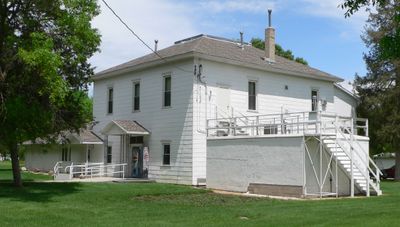
Harvey P. Sutton House
41.6 km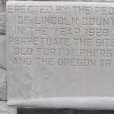
Fort McPherson
55.2 km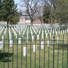
Fort McPherson National Cemetery
56.3 km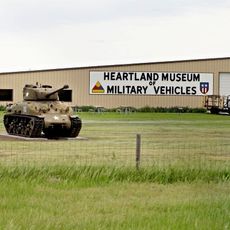
Heartland Museum of Military Vehicles
60 km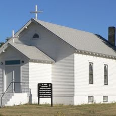
St. John's Evangelical Lutheran German Church and Cemetery
38.3 km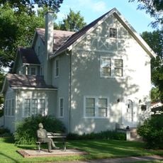
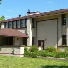
George W. Norris House
41.4 km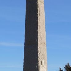
Massacre Canyon Historical Monument
60.6 km
St. Paul's Methodist Protestant Church
58.7 km
W. H. Faling House
33.3 km
Mowry Bluff Archeological Site
22.5 km
Neville Center for the Performing Arts
74.5 km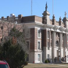
Dawson County Courthouse
61.5 km
Gosper County Courthouse
45.2 km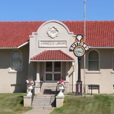
McCook Public-Carnegie Library
41.7 km
Allen's Opera House
50.1 km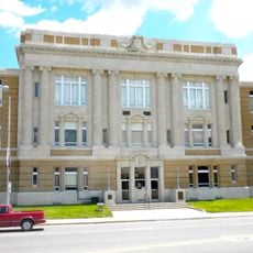
Lincoln County Courthouse
74.4 km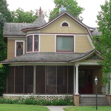
Ernest A. Calling House
48.9 km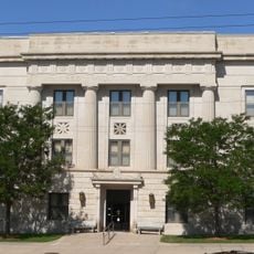
Red Willow County Courthouse
41.6 km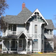
Ira Webster Olive House
62.2 km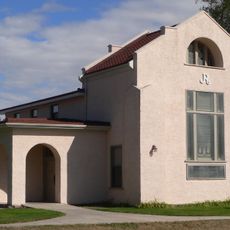
Johnston Memorial Building
73.9 km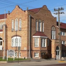
McCook YMCA
41.7 km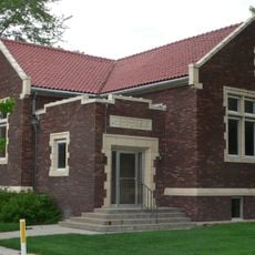
Gothenburg Carnegie Library
48.5 km
Highland Precinct
40.7 km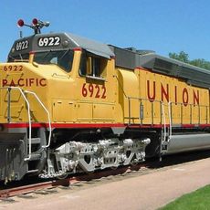
Union Pacific 6922
75.2 km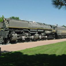
Union Pacific 3977
75.3 km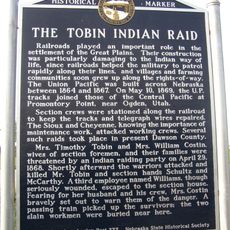
Tobin Indian Raid Historical Marker
78.1 km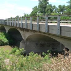
Republican State Aid Bridge
34.3 km
Harry V. Temple House
62.1 kmReviews
Visited this place? Tap the stars to rate it and share your experience / photos with the community! Try now! You can cancel it anytime.
Discover hidden gems everywhere you go!
From secret cafés to breathtaking viewpoints, skip the crowded tourist spots and find places that match your style. Our app makes it easy with voice search, smart filtering, route optimization, and insider tips from travelers worldwide. Download now for the complete mobile experience.

A unique approach to discovering new places❞
— Le Figaro
All the places worth exploring❞
— France Info
A tailor-made excursion in just a few clicks❞
— 20 Minutes