Enable Location

We need your location to show you interesting places around you

Discover nearby places

Find interesting locations and hidden gems around you

Precise directions

Get accurate directions and distances to places

Your location is never shared with other users. It's only used when you tap the location button.

Shelby County

Log in to your account

Start exploring — it's free

Trusted by 61,888 travelers worldwide

Continue with Google
Continue with Apple
or

We will send you a code to connect

By continuing, you accept our Terms and Conditions and our Privacy Policy

Check your inbox

We've sent a pincode in your inbox. Please enter the code below.

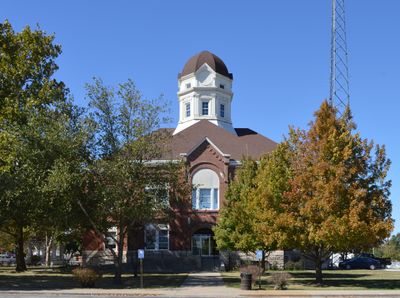
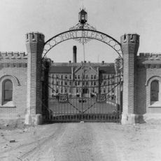
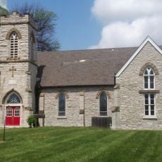
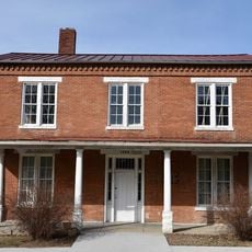
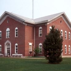
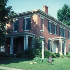
Shelby County, County administrative division in Missouri, United States.

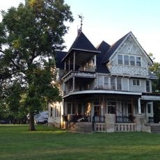
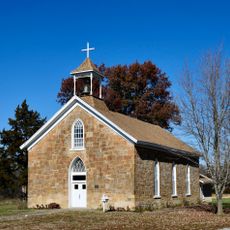
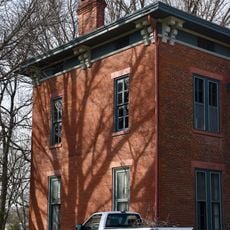
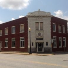
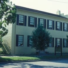
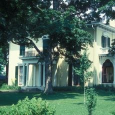
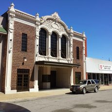
Shelby County is an administrative division in northeastern Missouri composed of farmland, forests, and small settlements scattered across gently rolling terrain. The county is traversed by several main roads that link its local communities together.

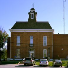
The county was established in 1835 and named after a prominent political figure from Kentucky. This naming choice reflected the historical ties between Missouri's early settlers and the Ohio River Valley.

North Shelby School District and Shelby County R-IV School District provide education services to residents through elementary and high school programs.

The area is sparsely populated with open roads and minimal traffic congestion. Visitors should expect limited services and amenities, making advance planning helpful for a smooth visit.

The area has an exceptionally low population density with only about five people per square kilometer. This makes it one of the least densely populated regions in Missouri.

The community of curious travelers

AroundUs brings together thousands of curated places, local tips, and hidden gems, enriched daily by 60,000 contributors worldwide.

Start exploring
Location
Inception
1835
Capital city
Shelbyville
Shares border with
Knox County, Monroe County, Marion County, Lewis County, Macon County
GPS coordinates
39.79000,-92.07000
Latest update
December 10, 2025 15:58
Around this place
Mark Twain Birthplace State Historic Site
United States of America

Mark Twain Birthplace State Historic Site

41 km
Mark Twain State Park
United States of America

Mark Twain State Park

40.4 km
Union Covered Bridge State Historic Site
United States of America

Union Covered Bridge State Historic Site

39.9 km
Blees Military Academy
United States of America

Blees Military Academy

34.8 km
Wardell House
United States of America

Wardell House

35.2 km
Walker-Woodward-Schaffer House
United States of America

Walker-Woodward-Schaffer House

46.8 km
St. Paul Catholic Church
United States of America

St. Paul Catholic Church

51 km
Benjamin House
United States of America

Benjamin House

11.3 km
Merritt Violette House
United States of America

Merritt Violette House

41.1 km
Culbertson-Head Farmstead
United States of America

Culbertson-Head Farmstead

48 km
Paris Male Academy
United States of America

Paris Male Academy

34.9 km
Edina Double Square Historic District
United States of America

Edina Double Square Historic District

42.9 km
Henderson Hall
United States of America

Henderson Hall

48.5 km
St. Jude's Episcopal Church
United States of America

St. Jude's Episcopal Church

32.4 km
Marion County Jail and Jailor's House
United States of America

Marion County Jail and Jailor's House

46.7 km
Macon County Courthouse and Annex
United States of America

Macon County Courthouse and Annex

34.9 km
Speigle House
United States of America

Speigle House

46.7 km
Dryden-Louthan House
United States of America

Dryden-Louthan House

47.1 km
Farmers and Merchants Bank Building
United States of America

Farmers and Merchants Bank Building

32.5 km
Mark Twain Landing
United States of America

Mark Twain Landing

43 km
Gardner House
United States of America

Gardner House

46.9 km
Peter J. Sowers House
United States of America

Peter J. Sowers House

47.1 km
Depot Inn & Suites
United States of America

Depot Inn & Suites

45 km
Mark Twain State Park Picnic Shelter at Buzzard's Roost
United States of America

Mark Twain State Park Picnic Shelter at Buzzard's Roost

42.5 km
Long Branch State Park
United States of America

Long Branch State Park

39.4 km
Mark Twain Birthplace State Historic Site
United States of America

Mark Twain Birthplace State Historic Site

41.5 km
Lewis County Courthouse
United States of America

Lewis County Courthouse

47.5 km
4th Street Theatre
United States of America

4th Street Theatre

52.1 km
Show the full map
Administrative divisions
« Shelby County - County administrative division in Missouri, United States » is provided by Around Us (aroundus.com). Images and texts are derived from Wikimedia project under a Creative Commons license. You are allowed to copy, distribute, and modify copies of this page, under the conditions set by the license, as long as this note is clearly visible.

Discover hidden gems everywhere you go!

From secret cafés to breathtaking viewpoints, skip the crowded tourist spots and find places that match your style. Our app makes it easy with voice search, smart filtering, route optimization, and insider tips from travelers worldwide. Download now for the complete mobile experience.

Around Us App Screenshot

A unique approach to discovering new places

Le Figaro

All the places worth exploring

France Info

A tailor-made excursion in just a few clicks

20 Minutes

Around Us
Travel Guide & Maps
Download

Send to your phone

QR Code
1

Open the camera app on your mobile.

2

Point at the QR code with your camera. A notification will appear.

3

Tap the notification to open the link.