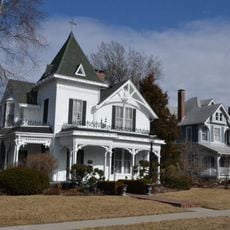
Pettis County, Administrative county in west central Missouri, United States
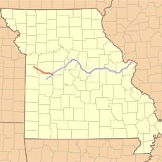
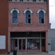
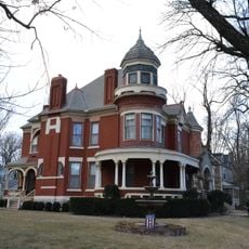
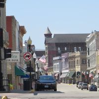
Pettis County is an administrative area in central Missouri covering approximately 686 square miles with Sedalia serving as the county seat. The territory is surrounded by seven neighboring counties and functions as an administrative and commercial hub for surrounding communities.
The county was established in 1833 and named after Spencer Darwin Pettis, a United States Representative from Missouri. This naming honors a figure who contributed significantly to the state's development during the early republic period.
The Missouri State Fair held annually in Sedalia brings together thousands of visitors to celebrate agricultural traditions and community life. This event shapes the cultural identity of the region and connects people from across the state.
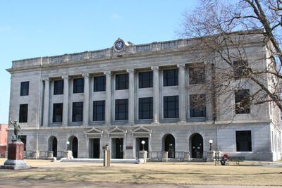
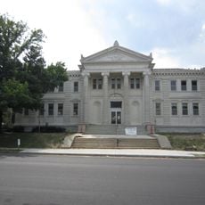
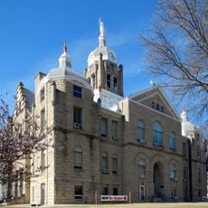
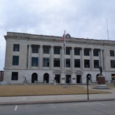
County administrative offices and public services are located in the courthouse in Sedalia, where visitors can handle paperwork, licenses, and official documents. Access is available during regular business hours, and it is recommended to check specific timings before visiting.
Near the courthouse, memorial bricks honor the military service of members from different armed forces branches. This modest but meaningful tribute recognizes local veterans and their contributions.
The community of curious travelers
AroundUs brings together thousands of curated places, local tips, and hidden gems, enriched daily by 60,000 contributors worldwide.