Rock Island Trail State Park, Rail trail in Pleasant Hill to Windsor section, Missouri.
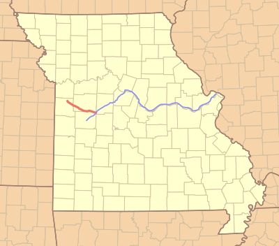
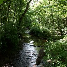
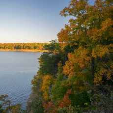
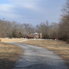
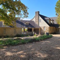
Rock Island Trail State Park is a rail trail in rural Missouri that runs along the bed of a former railroad line, linking several small towns between Pleasant Hill in the west and Windsor in the east. The surface and surroundings shift along the way, moving through prairies, farmland, woodland, and creek crossings.
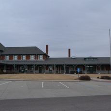
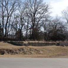
The route follows the former corridor of the Chicago, Rock Island and Pacific Railroad, which began service in the late 1800s and carried freight and passengers through Missouri for about a century. When the railroad shut down in the later decades of the 20th century, the right-of-way was turned into a public path.
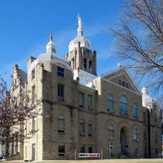
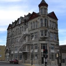
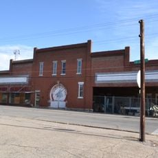
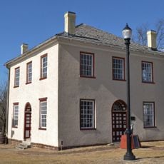
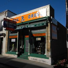
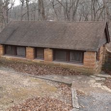
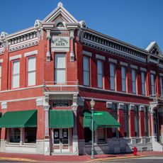
The trail takes its name from the old Chicago, Rock Island and Pacific Railroad, and that name still shows up on weathered signs and station buildings along the route. In the small towns nearby, murals and local markers point to a time when the railway shaped daily life in this part of Missouri.
Five entry points at Pleasant Hill, Medford, Chilhowee, Leeton, and Windsor each have parking and welcome walkers, cyclists, and horse riders. The path is flat and mostly open, so sun exposure can be strong in summer, and shade is limited along certain stretches.
This trail is planned as a key link in a future route connecting Kansas City and St. Louis through a chain of joined paths across Missouri. That connection is not yet complete, so visiting today means walking a corridor that is still taking shape.
The community of curious travelers
AroundUs brings together thousands of curated places, local tips, and hidden gems, enriched daily by 60,000 contributors worldwide.