Anson County

Log in to your account

AroundUs is a community-driven map of interesting places, built by curious explorers like you. It grows with every review, story, and photo you share.
Connect to save your favorite spots, contribute locations, and create personalized routes.
Continue with Google
Continue with Apple
Continue with X
Continue with Facebook
Continue with email
By continuing, you accept our Terms and Conditions and our Privacy Policy
Create an account
Add to collection
Map
Suggest a change
Share

Anson County, County administrative division in North Carolina, United States.

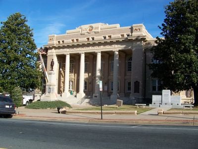
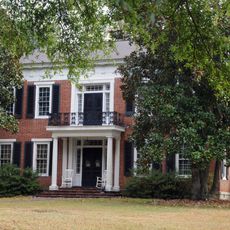
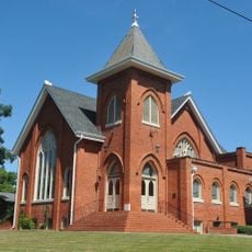
Anson County is an administrative division in southern North Carolina covering about 1400 square kilometers. It contains seven municipalities, with Wadesboro functioning as the county seat and serving as the commercial and administrative center.

The county was established in 1750 from territory that belonged to nearby Bladen County and took its name from British Admiral George Anson, who held land in North Carolina. In its early years, the region extended much farther west toward the Mississippi River before later divisions reduced it to its present size.

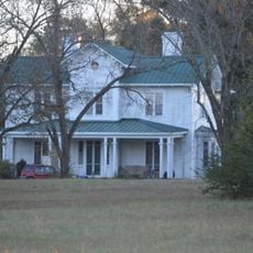
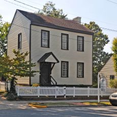
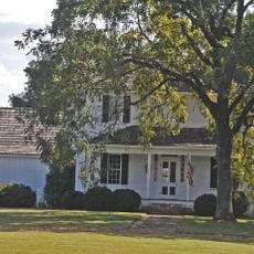
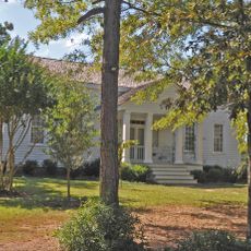
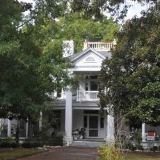
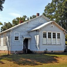
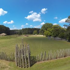
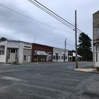
The county grew from colonial settlement and immigration during the 1700s, with farming and small trades shaping early communities. Today, rural villages and farmland still reflect this heritage of agricultural life.

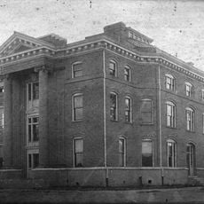
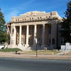
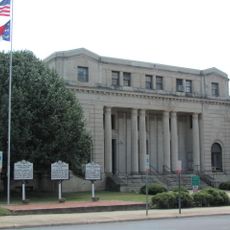
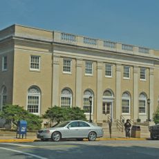
The county government operates from Wadesboro, where commissioners and staff handle day-to-day administration and public services. Online services for property taxes and permits make it convenient to handle administrative matters from either in town or from afar.

The original territory of this county was enormous, extending westward far beyond its present borders before being carved into smaller pieces. Four major counties that exist today—Rowan, Mecklenburg, Montgomery, and Union—all came from divisions of this original land.

Location: North Carolina

Inception: 1750

Capital city: Wadesboro

Shares border with: Stanly County, Richmond County, Marlboro County, Chesterfield County, Union County, Montgomery County

Website: http://co.anson.nc.us

GPS coordinates: 34.97000,-80.10000

Latest update: December 20, 2025 16:09

Photos
Around this place
Lake Tillery
United States of America

Lake Tillery

26.5 km
Town Creek Indian Mound
United States of America

Town Creek Indian Mound

28.3 km
Naval Health Clinic Charleston
United States of America

Naval Health Clinic Charleston

16.9 km
United States of America

Pee Dee National Wildlife Refuge

13.4 km
United States of America

Blewett Falls Lake

20.3 km
Covington Plantation House
United States of America

Covington Plantation House

28.2 km
Rockingham County Courthouse
United States of America

Rockingham County Courthouse

30 km
Boggan-Hammond House and Alexander Little Wing
United States of America

Boggan-Hammond House and Alexander Little Wing

1.8 km
Pegues Place
United States of America

Pegues Place

25.6 km
Alfred Dockery House
United States of America

Alfred Dockery House

26.5 km
United States of America

Westview Cemetery

1.3 km
Randle House
United States of America

Randle House

32.6 km
United States of America

Powell-Brookshire-Parker Farm

26.7 km
Barrett-Faulkner House
United States of America

Barrett-Faulkner House

20.2 km
Bank of Pee Dee Building
United States of America

Bank of Pee Dee Building

30 km
Wadesboro Downtown Historic District
United States of America

Wadesboro Downtown Historic District

2.2 km
Richmond County Courthouse
United States of America

Richmond County Courthouse

30 km
United States of America

Billy Horne Farm

14.5 km
H. C. Watson House
United States of America

H. C. Watson House

29.7 km
Liberty Hill School
United States of America

Liberty Hill School

28.3 km
Manufacturers Building
United States of America

Manufacturers Building

30 km
United States of America

John Phillips Little House

26.2 km
United States of America

Chambers-Morgan Farm

20.7 km
United States Post Office
United States of America

United States Post Office

2.3 km
Mount Gilead Downtown Historic District
United States of America

Mount Gilead Downtown Historic District

28.7 km
Discovery Place Kids-Rockingham
United States of America

Discovery Place Kids-Rockingham

30.1 km
Town Creek Indian Mound State Historic Site
United States of America

Town Creek Indian Mound State Historic Site

28.3 km

Goodman Amphitheatre

10.8 km
Show the full map
Reviews

Visited this place? Tap the stars to rate it and share your experience / photos with the community! Try now! You can cancel it anytime.

« Anson County - County administrative division in North Carolina, United States » is provided by Around Us (aroundus.com). Images and texts are derived from Wikimedia project under a Creative Commons license. You are allowed to copy, distribute, and modify copies of this page, under the conditions set by the license, as long as this note is clearly visible.

Discover hidden gems everywhere you go!

From secret cafés to breathtaking viewpoints, skip the crowded tourist spots and find places that match your style. Our app makes it easy with voice search, smart filtering, route optimization, and insider tips from travelers worldwide. Download now for the complete mobile experience.

Around Us App Screenshot

A unique approach to discovering new places

Le Figaro

All the places worth exploring

France Info

A tailor-made excursion in just a few clicks

20 Minutes