Enable Location

We need your location to show you interesting places around you

Discover nearby places

Find interesting locations and hidden gems around you

Precise directions

Get accurate directions and distances to places

Your location is never shared with other users. It's only used when you tap the location button.

Waushara County

Log in to your account

Start exploring — it's free

Trusted by 62,939 travelers worldwide

Continue with Google
Continue with Apple
or

We will send you a code to connect

By continuing, you accept our Terms and Conditions and our Privacy Policy

Check your inbox

We've sent a pincode in your inbox. Please enter the code below.

Discussion Reviews 1 Photos
16.1k Popularity

Waushara County, Administrative county in Central Wisconsin, US

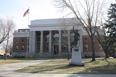
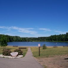
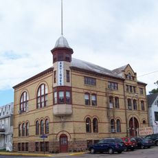
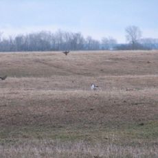
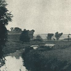
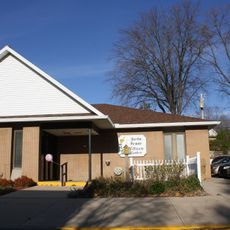
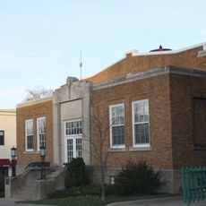
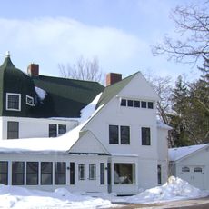
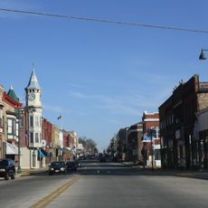
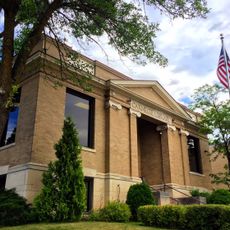
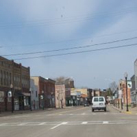
Waushara County is an administrative county in central Wisconsin featuring a mix of farmland, forests, and lakes. The region includes both rural villages and small towns, with Wautoma serving as the county seat.

The county was established by the Wisconsin Legislature in 1851 and initially organized as a single town before gaining full county status in 1852. This early development was part of Wisconsin's 19th-century settlement expansion.

The name Waushara comes from the Ho-Chunk language and means 'good land,' reflecting the Native American roots of this region. Local place names and land patterns still echo this heritage today.

Wautoma at the county's center provides access to government services and local amenities. Interstate 39 and multiple highways connect the region well to surrounding areas, making travel within and beyond the county straightforward.

The county is home to two regional airports—Wautoma Municipal Airport and Wild Rose Idlewild Airport—that serve local aviation needs. This infrastructure reflects how important air travel is for connections across this rural landscape.

The community of curious travelers

AroundUs brings together thousands of curated places, local tips, and hidden gems, enriched daily by 60,000 contributors worldwide.

Start exploring
Location
Inception
1852
Capital city
Wautoma
Shares border with
Portage County, Waupaca County, Winnebago County, Green Lake County, Marquette County, Adams County
GPS coordinates
44.11000,-89.24000
Latest update
December 7, 2025 19:28
Around this place
Federal Correctional Institution, Oxford
United States of America

Federal Correctional Institution, Oxford

42.6 km
Hartman Creek State Park
United States of America

Hartman Creek State Park

23.8 km
Danes Hall
United States of America

Danes Hall

30.5 km
Buena Vista Marsh
United States of America

Buena Vista Marsh

41.2 km
Walker-Hooper Site
United States of America

Walker-Hooper Site

42.5 km
Old Berlin High School
United States of America

Old Berlin High School

28.8 km
Waushara County Courthouse, Waushara County Sheriff's Residence and Jail
United States of America

Waushara County Courthouse, Waushara County Sheriff's Residence and Jail

5.7 km
Green Lake County Courthouse
United States of America

Green Lake County Courthouse

37 km
Thrasher Opera House
United States of America

Thrasher Opera House

37.1 km
Pipe School
United States of America

Pipe School

33.3 km
Jacob Woodruff House
United States of America

Jacob Woodruff House

42.9 km
Charles Samuel Richter House
United States of America

Charles Samuel Richter House

36 km
Omro Village Hall and Engine House
United States of America

Omro Village Hall and Engine House

40.5 km
Daniel and Catherine Ketchum Cobblestone House
United States of America

Daniel and Catherine Ketchum Cobblestone House

41.1 km
Nelson F. Beckwith House
United States of America

Nelson F. Beckwith House

28.5 km
Waupaca Free Public Library
United States of America

Waupaca Free Public Library

30 km
Commandant's Residence Home
United States of America

Commandant's Residence Home

26.5 km
Veterans Home Chapel
United States of America

Veterans Home Chapel

26.4 km
Princeton Downtown Historic District
United States of America

Princeton Downtown Historic District

30.2 km
Main Street Historic District
United States of America

Main Street Historic District

30.4 km
Wisconsin Power and Light Berlin Power Plant
United States of America

Wisconsin Power and Light Berlin Power Plant

27.9 km
Green Lake Village Hall
United States of America

Green Lake Village Hall

37 km
Veterans Cottages Historic District
United States of America

Veterans Cottages Historic District

26.6 km
L. A. Pomeroy House
United States of America

L. A. Pomeroy House

38 km
Huron Street Historic District
United States of America

Huron Street Historic District

28.2 km
St Olaf’s Episcopal Church,
United States of America

St Olaf’s Episcopal Church,

38.4 km
Berlin Public Library
United States of America

Berlin Public Library

28.2 km
Terrace Beach
United States of America

Terrace Beach

39.5 km
Show the full map
Reviews
Share your experience

No review yet

Discussions
Start a discussion...

No discussion yet

Administrative divisions
« Waushara County - Administrative county in Central Wisconsin, US » is provided by Around Us (aroundus.com). Images and texts are derived from Wikimedia project under a Creative Commons license. You are allowed to copy, distribute, and modify copies of this page, under the conditions set by the license, as long as this note is clearly visible.

Discover hidden gems everywhere you go!

From secret cafés to breathtaking viewpoints, skip the crowded tourist spots and find places that match your style. Our app makes it easy with voice search, smart filtering, route optimization, and insider tips from travelers worldwide. Download now for the complete mobile experience.

Around Us App Screenshot

A unique approach to discovering new places

Le Figaro

All the places worth exploring

France Info

A tailor-made excursion in just a few clicks

20 Minutes

Around Us
Travel Guide & Maps
Download

Send to your phone

QR Code
1

Open the camera app on your mobile.

2

Point at the QR code with your camera. A notification will appear.

3

Tap the notification to open the link.