Vernon County, Administrative county in southwestern Wisconsin, US
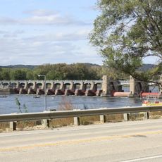
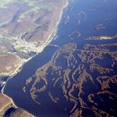
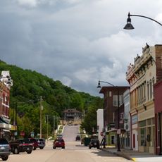
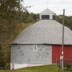
Vernon County is an administrative division in southwestern Wisconsin characterized by rolling terrain with forests, river valleys, and agricultural land mixed throughout. The landscape features varied elevation and waterways that shape the region's natural structure.
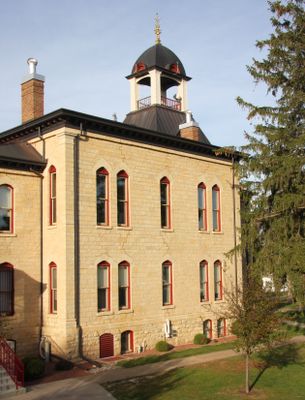
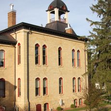
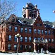
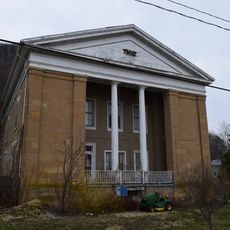
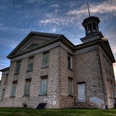
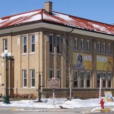
The county was established in 1851 as part of Wisconsin's territorial organization and named after Mount Vernon. Viroqua was designated as the administrative center and has served this function since its founding.
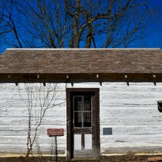
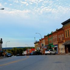
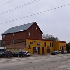
The county maintains a rural character shaped by close-knit communities where local traditions and seasonal patterns define daily life. These smaller towns gather around churches, schools, and civic spaces that serve as social anchors for residents.
Most county services and administrative offices are concentrated in Viroqua, making it easy to find what you need in one location. The town's compact size means everything is within walking distance and parking is generally accessible.
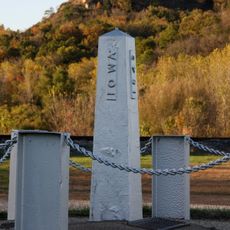
The county shares borders with eight different jurisdictions, connecting Wisconsin with the neighboring state of Iowa across its boundaries. This geographic position creates an interesting meeting point of different regional governance structures.
Location: Wisconsin
Inception: 1851
Capital city: Viroqua
Shares border with: La Crosse County, Monroe County, Juneau County, Sauk County, Richland County, Crawford County, Allamakee County, Houston County
Website: http://co.vernon.wi.gov
GPS coordinates: 43.59000,-90.83000
Latest update: December 7, 2025 19:28
Shrine of Our Lady of Guadalupe
33.5 km
Wildcat Mountain State Park
24.7 km
Black Hawk Bridge
39.9 km
Lock and Dam No. 8
32.5 km
Fish Farm Mounds State Preserve
39.2 km
Vernon County Courthouse
6.3 km
Skumsrud Heritage Farm
20.5 km
Our Lady of Sorrows Chapel
39.3 km
Big Lake
37.8 km
Julia B. and Fred P. Bowen House
45.7 km
Monroe County Courthouse
39.4 km
Church of the Holy Comforter
37.8 km
Iron Post
37.9 km
Sparta Free Library
39.5 km
Lansing Main Street Historic District
40.2 km
William G. and Anne Williams House
39.7 km
Court Street Commercial Historic District
45.7 km
St. John's Episcopal Church
39.9 km
Old Allamakee County Courthouse
40.4 km
Lansing Fisheries Building
40.2 km
Lansing Stone School
40.6 kmThomas Reburn Polygonal Barn
39.7 km
Albert and Theresa Marx House
17.5 km
Sparta Masonic Temple
39.5 km
Masonic Temple Building
6.1 km
G. Kerndt and Brothers Elevator and Warehouses, No. 11, No.12 and No. 13
40.1 km
G. Kerndt & Brothers Office Block
40.4 km
George Apfel Round Barn
13.4 kmVisited this place? Tap the stars to rate it and share your experience / photos with the community! Try now! You can cancel it anytime.
Discover hidden gems everywhere you go!
From secret cafés to breathtaking viewpoints, skip the crowded tourist spots and find places that match your style. Our app makes it easy with voice search, smart filtering, route optimization, and insider tips from travelers worldwide. Download now for the complete mobile experience.
A unique approach to discovering new places❞
— Le Figaro
All the places worth exploring❞
— France Info
A tailor-made excursion in just a few clicks❞
— 20 Minutes