
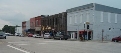
Lyndon, city in the United States
Location: Osage County
Inception: 1870
Elevation above the sea: 315 m
Website: http://www.LyndonKS.gov/
Website: http://LyndonKS.gov
GPS coordinates: 38.61030,-95.68530
Latest update: April 21, 2025 19:41
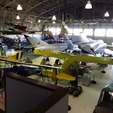
Combat Air Museum
37.4 km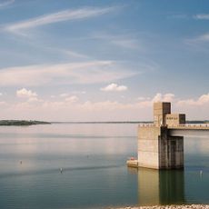
Melvern Lake
10.8 km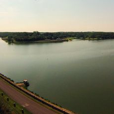
Lone Star Lake
36.2 km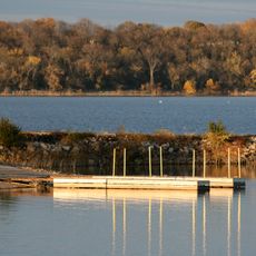
Clinton State Park
45.5 km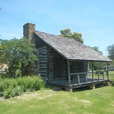
Dietrich Cabin
36.3 km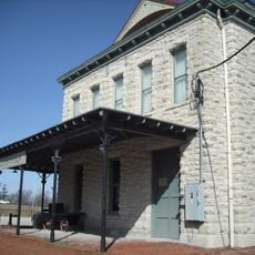
Old Depot Museum
36.2 km
Peoples Bank Field
36.8 km
Atchison, Topeka, and Santa Fe Pratt Truss Bridge
12.5 km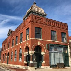
Security State Bank
46 km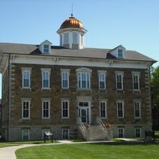
Tauy Jones Hall
36.7 km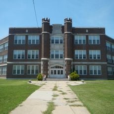
Ottawa High School and Junior High School
36.2 km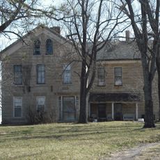
Tauy Jones House
40.9 km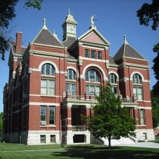
Franklin County Courthouse
36.3 km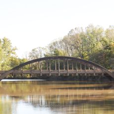
Neosho River Bridge
40.6 km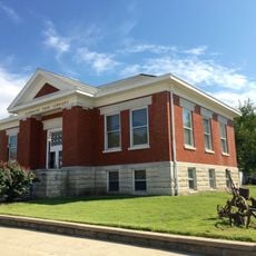
Burlington Carnegie Free Library
46.4 km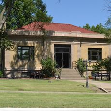
Lyndon Carnegie Library
381 m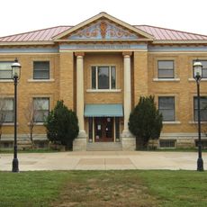
Ottawa Library
36.8 km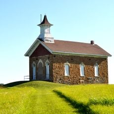
Arvonia School
21.7 km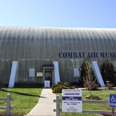
Combat Air Museum
36.8 km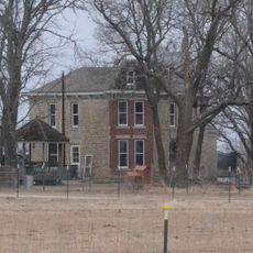
Horace G. Lyons House
39.5 km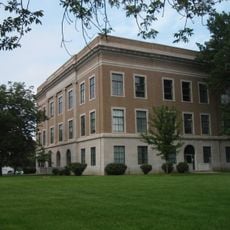
Osage County Courthouse
171 m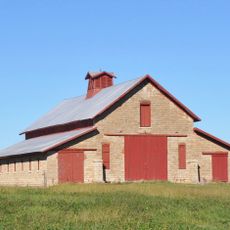
Karnes Stone Barn
26.2 km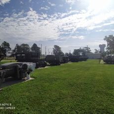
Museum Of The Kansas National Guard
37.4 km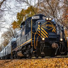
Midland Railway Baldwin City Depot
45.9 km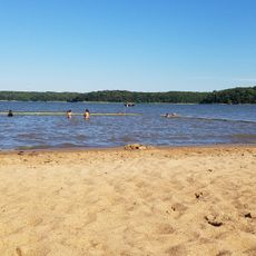
Bloomington Beach
43 km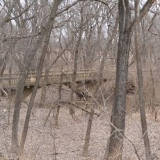
McCauley Bridge
33.8 km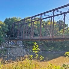
Rocky Ford Bridge
46.3 km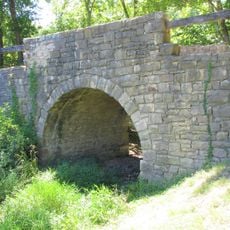
Chicken Creek Bridge
40 kmReviews
Visited this place? Tap the stars to rate it and share your experience / photos with the community! Try now! You can cancel it anytime.
Discover hidden gems everywhere you go!
From secret cafés to breathtaking viewpoints, skip the crowded tourist spots and find places that match your style. Our app makes it easy with voice search, smart filtering, route optimization, and insider tips from travelers worldwide. Download now for the complete mobile experience.

A unique approach to discovering new places❞
— Le Figaro
All the places worth exploring❞
— France Info
A tailor-made excursion in just a few clicks❞
— 20 Minutes