Osage County

Log in to your account

AroundUs is a community-driven map of interesting places, built by curious explorers like you. It grows with every review, story, and photo you share.
Connect to save your favorite spots, contribute locations, and create personalized routes.
By continuing, you accept our Terms and Conditions and our Privacy Policy
Add to collection
Map
Suggest a change
Share

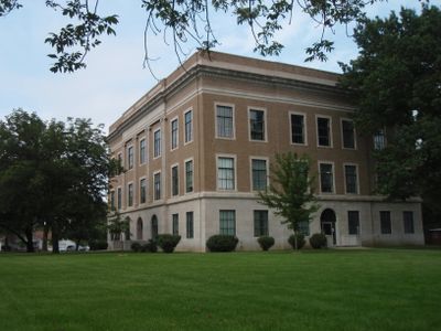
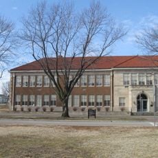
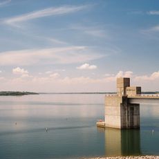
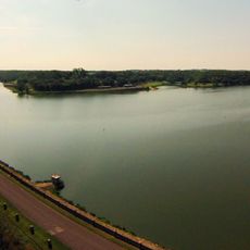
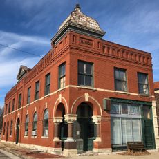
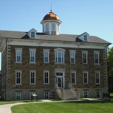
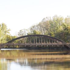
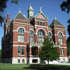
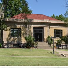
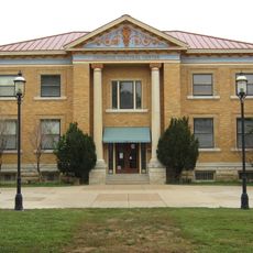
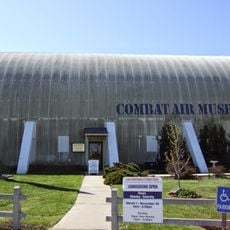
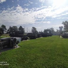
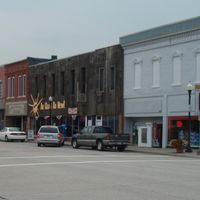
Osage County, County in eastern Kansas, United States.

Osage County is an administrative division in eastern Kansas that covers rolling terrain with numerous streams and small rivers. The county is crossed by several major routes that connect communities and link the area to neighboring regions.

The county was established in 1859 and named after the Osage River that flows through its territory. It was part of the early settlement expansion in the state and developed into a center for agricultural activities.

The county maintains sixteen distinct townships, each contributing to local governance with Osage City operating as an independent municipality within the region.

The area is well connected by federal highways and interstates, making travel to various locations within and beyond the county convenient. Visitors should note that traffic may increase during harvest season and road conditions can vary depending on the time of year.

The median household income in 2000 reached $37,928, while males earned $30,670 compared to $22,981 for females, indicating gender-based income differences.

Location: Kansas

Inception: February 11, 1859

Capital city: Lyndon

Shares border with: Shawnee County, Coffey County, Douglas County, Franklin County, Wabaunsee County, Lyon County

Website: http://OsageCo.org

GPS coordinates: 38.65000,-95.73330

Latest update: December 10, 2025 15:52

Photos
Around this place
Brown v. Board of Education National Historical Park
United States of America

Brown v. Board of Education National Historical Park

43.5 km
Combat Air Museum
United States of America

Combat Air Museum

33.3 km
Melvern Lake
United States of America

Melvern Lake

15.1 km
Lone Star Lake
United States of America

Lone Star Lake

36.7 km
Dietrich Cabin
United States of America

Dietrich Cabin

40.7 km
Yager Stadium
United States of America

Yager Stadium

42.8 km
Old Depot Museum
United States of America

Old Depot Museum

40.4 km
Peoples Bank Field
United States of America

Peoples Bank Field

41.3 km
United States of America

Atchison, Topeka, and Santa Fe Pratt Truss Bridge

18.2 km
Evel Knievel Museum
United States of America

Evel Knievel Museum

42.5 km
Security State Bank
United States of America

Security State Bank

40 km
Tauy Jones Hall
United States of America

Tauy Jones Hall

41.2 km
Ottawa High School and Junior High School
United States of America

Ottawa High School and Junior High School

40.7 km
Neosho River Bridge
United States of America

Neosho River Bridge

42.3 km
Franklin County Courthouse
United States of America

Franklin County Courthouse

40.7 km
Lyndon Carnegie Library
United States of America

Lyndon Carnegie Library

6.5 km
Ottawa Library
United States of America

Ottawa Library

41.3 km
Arvonia School
United States of America

Arvonia School

22.4 km
Westminster Presbyterian Church of Topeka
United States of America

Westminster Presbyterian Church of Topeka

43.9 km
Combat Air Museum
United States of America

Combat Air Museum

32.7 km
Horace G. Lyons House
United States of America

Horace G. Lyons House

36.4 km
Osage County Courthouse
United States of America

Osage County Courthouse

6.2 km
Karnes Stone Barn
United States of America

Karnes Stone Barn

23.9 km
Museum Of The Kansas National Guard
United States of America

Museum Of The Kansas National Guard

33.3 km
Bloomington Beach
United States of America

Bloomington Beach

42.7 km
Midwest Health Aquatic Center
United States of America

Midwest Health Aquatic Center

42.3 km
McCauley Bridge
United States of America

McCauley Bridge

28.4 km
Chicken Creek Bridge
United States of America

Chicken Creek Bridge

40.6 km
Show the full map
Reviews

Visited this place? Tap the stars to rate it and share your experience / photos with the community! Try now! You can cancel it anytime.

Administrative divisions
« Osage County - County in eastern Kansas, United States » is provided by Around Us (aroundus.com). Images and texts are derived from Wikimedia project under a Creative Commons license. You are allowed to copy, distribute, and modify copies of this page, under the conditions set by the license, as long as this note is clearly visible.

Discover hidden gems everywhere you go!

From secret cafés to breathtaking viewpoints, skip the crowded tourist spots and find places that match your style. Our app makes it easy with voice search, smart filtering, route optimization, and insider tips from travelers worldwide. Download now for the complete mobile experience.

Around Us App Screenshot

A unique approach to discovering new places

Le Figaro

All the places worth exploring

France Info

A tailor-made excursion in just a few clicks

20 Minutes