Mount Mitchell, Mountain peak in Yancey County, North Carolina, US
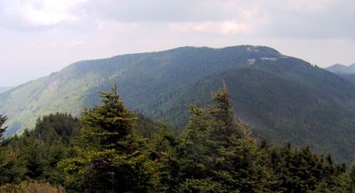
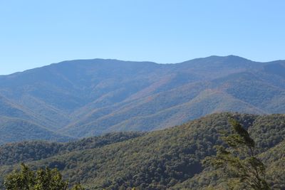
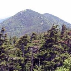
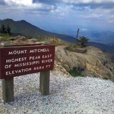
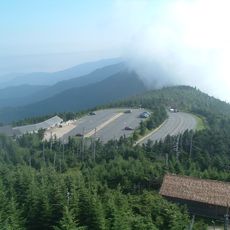
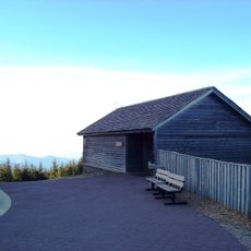
Mount Mitchell is the highest summit in the Appalachians within Yancey County, rising to 2,037 meters (6,684 feet) above sea level. The summit sits within a forested park and is crowned by a stone observation tower offering views over the surrounding mountains.
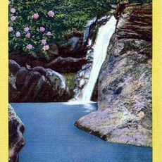
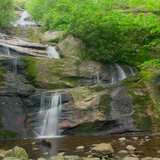
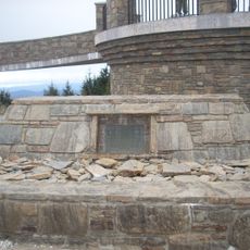
Elisha Mitchell measured the height of the mountain in 1835, proving it exceeded Mount Washington. He died in 1857 during a second expedition when he fell from a waterfall and was later buried at the summit.
Fraser firs grow short and dense near the summit, shaped by wind and cold. Their needles stay green through winter and provide shelter for birds that overwinter at this elevation.
A paved path leads from the parking area to the summit and is manageable for most visitors, though the elevation makes the air thinner. Fog can limit visibility, and temperatures often drop below freezing even in summer.
The temperature at the summit once reached minus 34 degrees Celsius, the coldest ever recorded in North Carolina. Annual precipitation exceeds 2,000 millimeters, keeping the surroundings damp and covered in moss.
The community of curious travelers
AroundUs brings together thousands of curated places, local tips, and hidden gems, enriched daily by 60,000 contributors worldwide.