Enable Location

We need your location to show you interesting places around you

Discover nearby places

Find interesting locations and hidden gems around you

Precise directions

Get accurate directions and distances to places

Your location is never shared with other users. It's only used when you tap the location button.

Yancey County

Log in to your account

Start exploring — it's free

Trusted by 62,036 travelers worldwide

Continue with Google
Continue with Apple
or

We will send you a code to connect

By continuing, you accept our Terms and Conditions and our Privacy Policy

Check your inbox

We've sent a pincode in your inbox. Please enter the code below.

Yancey County, County in western North Carolina, United States

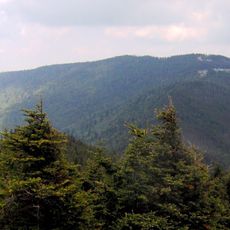
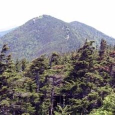
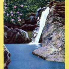
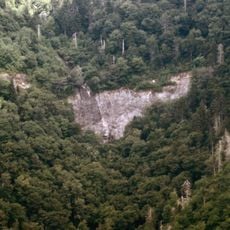
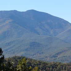
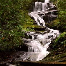
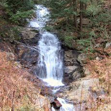
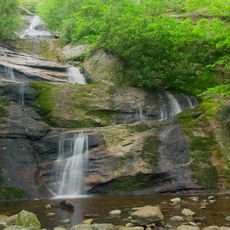
Yancey County is a county in the mountainous Appalachian region of western North Carolina, shaped by ridges and river valleys. The area contains several high peaks and densely forested slopes that define the landscape throughout.

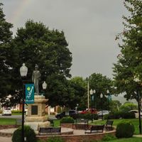
The county was established in 1833 and named after Bartlett Yancey, a local politician. Scottish, English, and Irish settlers had moved into the Toe River Valley by the mid-1700s.

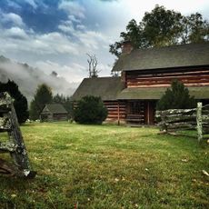
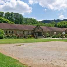
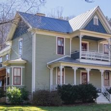
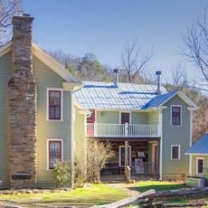
The area preserves its Appalachian traditions through local music, crafts, and community gatherings held in Burnsville and nearby towns. These cultural practices remain visible in small festivals and artisan workshops throughout the region.

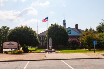
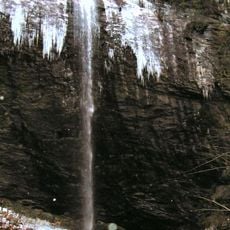
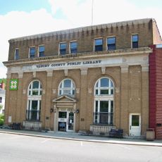
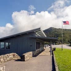
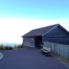
Most services and visitor information are accessible through the administrative center in Burnsville, which serves as the main hub for county information. The region offers numerous trails and outdoor activities that are best explored during daylight hours.

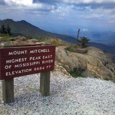
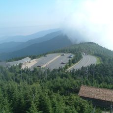
Five of the ten highest peaks east of the Mississippi River sit within the Black Mountains that dominate the area. Mount Mitchell, the tallest mountain east of the Mississippi River, is also located here and stands as a major natural landmark.

The community of curious travelers

AroundUs brings together thousands of curated places, local tips, and hidden gems, enriched daily by 60,000 contributors worldwide.

Start exploring
Location
Inception
1833
Capital city
Burnsville
Shares border with
Mitchell County, McDowell County, Buncombe County, Madison County, Unicoi County
GPS coordinates
35.90000,-82.31000
Latest update
December 23, 2025 15:22
Around this place
Mount Mitchell
United States of America

Mount Mitchell

15.6 km
Mount Craig
United States of America

Mount Craig

14.3 km
Mitchell Falls
United States of America

Mitchell Falls

14.2 km
Zebulon B. Vance Birthplace
United States of America

Zebulon B. Vance Birthplace

27.8 km
Glassmine Falls
United States of America

Glassmine Falls

18.4 km
Douglas Falls
United States of America

Douglas Falls

20.8 km
Celo Knob
United States of America

Celo Knob

7.7 km
Roaring Fork Falls
United States of America

Roaring Fork Falls

18.2 km
Walker Falls
United States of America

Walker Falls

16.5 km
Setrock Creek Falls
United States of America

Setrock Creek Falls

18.3 km
Bald Creek Historic District
United States of America

Bald Creek Historic District

10.3 km
John Wesley McElroy House
United States of America

John Wesley McElroy House

2.1 km
United States of America

Whiteoak Creek Falls

11.5 km
Yancey Collegiate Institute Historic District
United States of America

Yancey Collegiate Institute Historic District

2.8 km
United States of America

David M. Buck House

16.4 km
Yancey County Courthouse
United States of America

Yancey County Courthouse

2.1 km
Mitchell County Courthouse
United States of America

Mitchell County Courthouse

18.8 km
Citizens Bank Building
United States of America

Citizens Bank Building

2 km
Brigman-Chambers House
United States of America

Brigman-Chambers House

27.1 km
Carter-Swain House
United States of America

Carter-Swain House

20.5 km
United States of America

Chase-Coletta House

2.1 km
Mount Mitchell State Park
United States of America

Mount Mitchell State Park

15 km
Mount Mitchell Museum
United States of America

Mount Mitchell Museum

15.4 km
Elisha Mitchell's tomb
United States of America

Elisha Mitchell's tomb

15.6 km
Craggy Gardens Visitor Center
United States of America

Craggy Gardens Visitor Center

23.1 km
United States of America

Mount Mitchell Observation Deck

15.6 km
Mount Mitchell State Park Environmental Education Center
United States of America

Mount Mitchell State Park Environmental Education Center

15.5 km
United States of America

Black Mountains Overlook

18 km
Show the full map
Administrative divisions
« Yancey County - County in western North Carolina, United States » is provided by Around Us (aroundus.com). Images and texts are derived from Wikimedia project under a Creative Commons license. You are allowed to copy, distribute, and modify copies of this page, under the conditions set by the license, as long as this note is clearly visible.

Discover hidden gems everywhere you go!

From secret cafés to breathtaking viewpoints, skip the crowded tourist spots and find places that match your style. Our app makes it easy with voice search, smart filtering, route optimization, and insider tips from travelers worldwide. Download now for the complete mobile experience.

Around Us App Screenshot

A unique approach to discovering new places

Le Figaro

All the places worth exploring

France Info

A tailor-made excursion in just a few clicks

20 Minutes

Around Us
Travel Guide & Maps
Download

Send to your phone

QR Code
1

Open the camera app on your mobile.

2

Point at the QR code with your camera. A notification will appear.

3

Tap the notification to open the link.