Enable Location

We need your location to show you interesting places around you

Discover nearby places

Find interesting locations and hidden gems around you

Precise directions

Get accurate directions and distances to places

Your location is never shared with other users. It's only used when you tap the location button.

Burnsville

Log in to your account

Start exploring — it's free

Trusted by 62,043 travelers worldwide

Continue with Google
Continue with Apple
or

We will send you a code to connect

By continuing, you accept our Terms and Conditions and our Privacy Policy

Check your inbox

We've sent a pincode in your inbox. Please enter the code below.

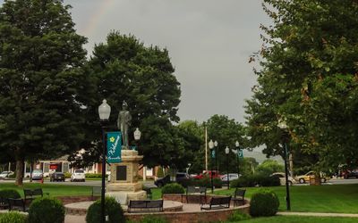
Burnsville, County seat town in Western North Carolina, United States.

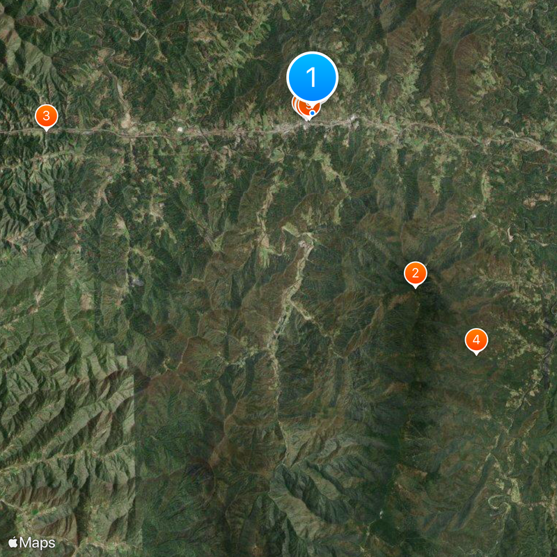
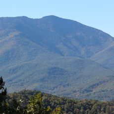
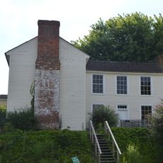
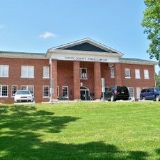
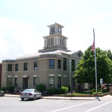
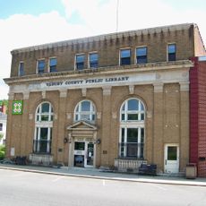
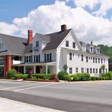
Burnsville is a town in Western North Carolina located beneath Mount Mitchell at an elevation of about 860 meters (2,820 feet). The place sits in a mountainous region and serves as the administrative center of Yancey County.

The town was founded in 1834 and quickly became the administrative seat of Yancey County during the early settlement period of the region. This early administrative role shaped its development as a center for government and commerce.

The town hosts regular farmers markets and craft exhibitions where local artisans and food producers display their work. These gatherings shape community life and reflect the region's handcraft traditions.

Visitors should expect changeable mountain weather since the town sits in the elevated Appalachian terrain. It is wise to wear comfortable shoes and check local road conditions before traveling, especially during winter months.

The town implements flood prevention measures funded through FEMA's Hazard Mitigation Programs. These investments in risk reduction show how mountain communities address natural hazards.

The community of curious travelers

AroundUs brings together thousands of curated places, local tips, and hidden gems, enriched daily by 60,000 contributors worldwide.

Start exploring
Location
Inception
1834
Elevation above the sea
860 m
GPS coordinates
35.91860,-82.29750
Latest update
December 20, 2025 12:49
« Burnsville - County seat town in Western North Carolina, United States » is provided by Around Us (aroundus.com). Images and texts are derived from Wikimedia project under a Creative Commons license. You are allowed to copy, distribute, and modify copies of this page, under the conditions set by the license, as long as this note is clearly visible.

Discover hidden gems everywhere you go!

From secret cafés to breathtaking viewpoints, skip the crowded tourist spots and find places that match your style. Our app makes it easy with voice search, smart filtering, route optimization, and insider tips from travelers worldwide. Download now for the complete mobile experience.

Around Us App Screenshot

A unique approach to discovering new places

Le Figaro

All the places worth exploring

France Info

A tailor-made excursion in just a few clicks

20 Minutes

Around Us
Travel Guide & Maps
Download

Send to your phone

QR Code
1

Open the camera app on your mobile.

2

Point at the QR code with your camera. A notification will appear.

3

Tap the notification to open the link.