Lebanon

Log in to your account

AroundUs is a community-driven map of interesting places, built by curious explorers like you. It grows with every review, story, and photo you share.
Connect to save your favorite spots, contribute locations, and create personalized routes.
By continuing, you accept our Terms and Conditions and our Privacy Policy
Add to collection
Map
Suggest a change
Share

Lebanon, County seat in Laclede County, Missouri, United States.

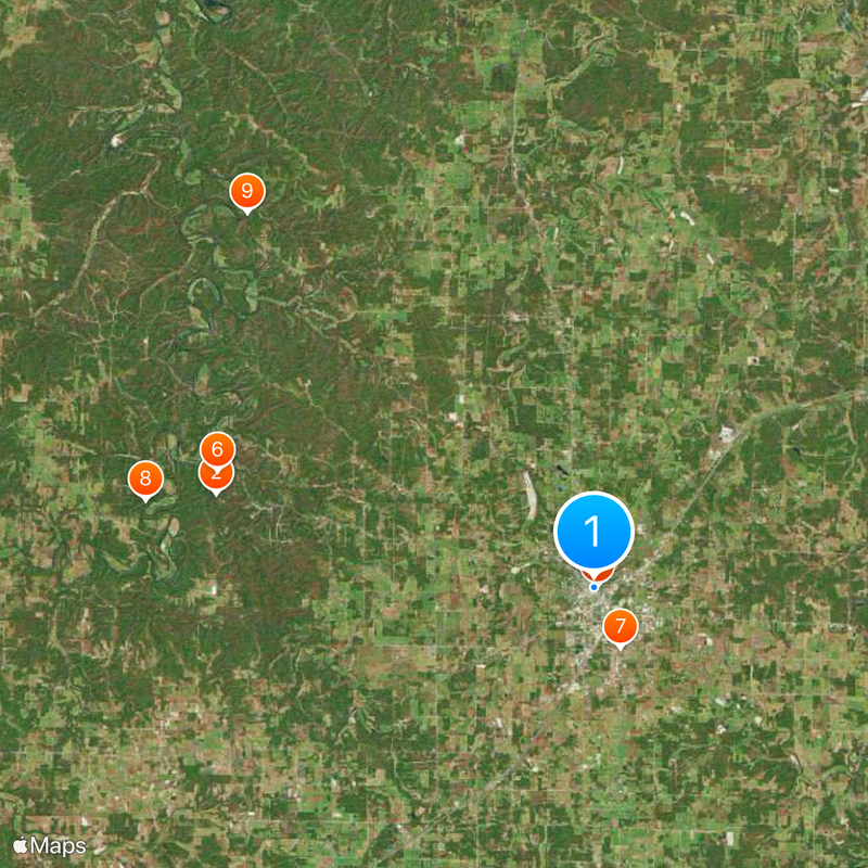
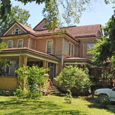
Lebanon is a city and county seat in Laclede County, Missouri, situated at an elevation of about 386 meters (1,266 feet) amid rolling hills and valleys. The landscape features open spaces and natural terrain that shape the town's character.

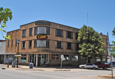
Lebanon was founded in 1877 and became a key transportation hub connecting the surrounding agricultural and manufacturing areas. This early role as a regional center shaped the town's layout and services that persist today.

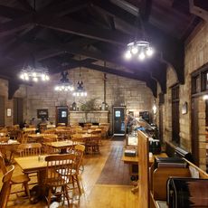
Downtown gatherings showcase regional crafts and farm products that reflect the area's agricultural roots. These events bring neighbors together and highlight the connection between the community and its farming heritage.

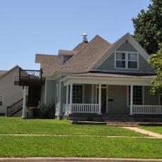
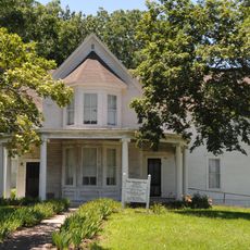
The city provides access to major transportation routes and has retail stores, healthcare facilities, and schools throughout its neighborhoods. The established infrastructure and organized layout make it straightforward to get around and find services.

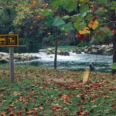
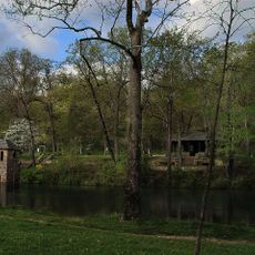
Multiple parks and trails surround the town, creating easy access to outdoor recreation and natural areas. Many visitors overlook how these green spaces are integrated right into the urban setting rather than isolated.

Location: Laclede County

Inception: 1877

Elevation above the sea: 386 m

Website: http://lebanonmissouri.org

GPS coordinates: 37.67833,-92.66167

Latest update: December 7, 2025 09:25

Photos
Around this place
Show the full map
Lake of the Ozarks
United States of America

Lake of the Ozarks

58.5 km
Party Cove
United States of America

Party Cove

47.2 km
Bagnell Dam
United States of America

Bagnell Dam

58.7 km
Ha Ha Tonka State Park
United States of America

Ha Ha Tonka State Park

33.7 km
Uranus Missouri
United States of America

Uranus Missouri

51.8 km
Bennett Spring State Park
United States of America

Bennett Spring State Park

17.8 km
Lake of the Ozarks State Park
United States of America

Lake of the Ozarks State Park

47.2 km
Marine Corps Detachment, Fort Leonard Wood
United States of America

Marine Corps Detachment, Fort Leonard Wood

47.6 km
Grand Glaize Bridge
United States of America

Grand Glaize Bridge

50.7 km
Bridal Cave
United States of America

Bridal Cave

44.1 km
Pomme de Terre State Park
United States of America

Pomme de Terre State Park

61.6 km
Rainey Funeral Home Building
United States of America

Rainey Funeral Home Building

43.5 km
Old Stagecoach Stop
United States of America

Old Stagecoach Stop

44 km
Ralph E. Burley House
United States of America

Ralph E. Burley House

159 m
Wallace House
United States of America

Wallace House

718 m
Calloway Manes Homestead
United States of America

Calloway Manes Homestead

32.5 km
Ploger-Moneymaker Place
United States of America

Ploger-Moneymaker Place

813 m
Fiery Fork Conservation Area
United States of America

Fiery Fork Conservation Area

52.4 km
Big Surf Waterpark
United States of America

Big Surf Waterpark

43.7 km
Col. Thomas C. Love House
United States of America

Col. Thomas C. Love House

54.8 km
Pulaski County Courthouse
United States of America

Pulaski County Courthouse

43.9 km
Boegel and Hine Flour Mill-Wommack Mill
United States of America

Boegel and Hine Flour Mill-Wommack Mill

54.2 km
Bennett Spring Dining Lodge
United States of America

Bennett Spring Dining Lodge

18 km
KY3-Sendemast
United States of America

KY3-Sendemast

61.4 km
Camden County Historical Society
United States of America

Camden County Historical Society

39.9 km
Uranus
United States of America

Uranus

51.8 km
Sonic
United States of America

Sonic

750 m
Bennett Spring State Park Shelter House and Water Gauge Station
United States of America

Bennett Spring State Park Shelter House and Water Gauge Station

17.8 km
Show the full map
Reviews

Visited this place? Tap the stars to rate it and share your experience / photos with the community! Try now! You can cancel it anytime.

« Lebanon - County seat in Laclede County, Missouri, United States » is provided by Around Us (aroundus.com). Images and texts are derived from Wikimedia project under a Creative Commons license. You are allowed to copy, distribute, and modify copies of this page, under the conditions set by the license, as long as this note is clearly visible.

Discover hidden gems everywhere you go!

From secret cafés to breathtaking viewpoints, skip the crowded tourist spots and find places that match your style. Our app makes it easy with voice search, smart filtering, route optimization, and insider tips from travelers worldwide. Download now for the complete mobile experience.

Around Us App Screenshot

A unique approach to discovering new places

Le Figaro

All the places worth exploring

France Info

A tailor-made excursion in just a few clicks

20 Minutes