Enable Location

We need your location to show you interesting places around you

Discover nearby places

Find interesting locations and hidden gems around you

Precise directions

Get accurate directions and distances to places

Your location is never shared with other users. It's only used when you tap the location button.

East Greenwich

Log in to your account

Start exploring — it's free

Trusted by 62,576 travelers worldwide

Continue with Google
Continue with Apple
or

We will send you a code to connect

By continuing, you accept our Terms and Conditions and our Privacy Policy

Check your inbox

We've sent a pincode in your inbox. Please enter the code below.

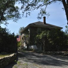
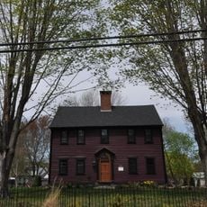
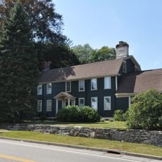
East Greenwich, Colonial town in Kent County, Rhode Island, United States

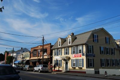
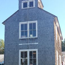
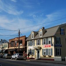
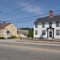
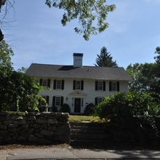
East Greenwich is a town in Kent County, Rhode Island, situated along the western shore of Narragansett Bay. The area blends residential neighborhoods with commercial zones, where Main Street anchors the community with shops like Third Rock Emporium for minerals and Bone Appetit for pet supplies.

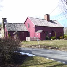
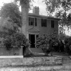
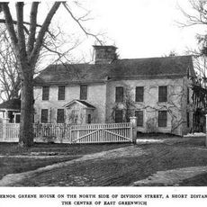
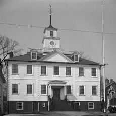
The town was established in 1677 and served as one of Rhode Island's five original capitals. It later played a role in the formation of the first United States Navy in 1772.

The Greenwich Odeum theater hosts performances year-round, and YJ Contemporary Fine Art displays contemporary works that draw creative-minded visitors. These venues reflect how the community gathers for cultural events and supports local artists.

Most shops and services are concentrated along Main Street, making it easy to explore on foot. The location near Narragansett Bay offers convenient access for outdoor recreation and waterfront activities.

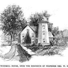
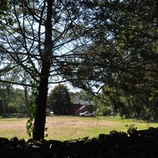
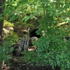
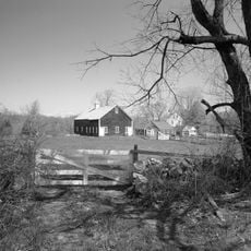
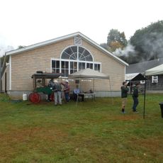
Scalloptown, a fishing settlement established in the 19th century, existed until 1913 when authorities condemned and dismantled the entire community. This vanished village is an overlooked chapter of local history that reflects the region's maritime past.

The community of curious travelers

AroundUs brings together thousands of curated places, local tips, and hidden gems, enriched daily by 60,000 contributors worldwide.

Start exploring
Location
Inception
1677
Elevation above the sea
61 m
Shares border with
West Warwick
GPS coordinates
41.65000,-71.48333
Latest update
December 20, 2025 14:22
Around this place
Station Fire Memorial Park
United States of America

Station Fire Memorial Park

4.5 km
Goddard Memorial State Park
United States of America

Goddard Memorial State Park

3.9 km
Massie Wireless Station
United States of America

Massie Wireless Station

3.8 km
Windmill Cottage
United States of America

Windmill Cottage

2.7 km
Clement Weaver-Daniel Howland House
United States of America

Clement Weaver-Daniel Howland House

1.1 km
Forge Farm
United States of America

Forge Farm

2.9 km
Gen. James Mitchell Varnum House
United States of America

Gen. James Mitchell Varnum House

3 km
East Greenwich Historic District
United States of America

East Greenwich Historic District

3 km
Richard Briggs Farm
United States of America

Richard Briggs Farm

5.3 km
Gorton-Greene House
United States of America

Gorton-Greene House

2.6 km
Davisville Historic District
United States of America

Davisville Historic District

3.2 km
United States of America

Greenwich Cove Site

2.7 km
Apponaug Historic District
United States of America

Apponaug Historic District

3 km
Col. Micah Whitmarsh House
United States of America

Col. Micah Whitmarsh House

2.9 km
Forge Road Historic District
United States of America

Forge Road Historic District

3 km
Oliver A. Wickes House
United States of America

Oliver A. Wickes House

2.7 km
Silas Clapp House
United States of America

Silas Clapp House

3.6 km
Fry's Hamlet Historic District
United States of America

Fry's Hamlet Historic District

1.7 km
Capt. Oliver Gardiner House
United States of America

Capt. Oliver Gardiner House

3.6 km
Spencer–Shippee–Lillbridge House
United States of America

Spencer–Shippee–Lillbridge House

1.7 km
New England Wireless and Steam Museum
United States of America

New England Wireless and Steam Museum

3.8 km
Kent County Courthouse
United States of America

Kent County Courthouse

3 km
United States of America

Carr Pond

6.2 km
United States of America

East Greenwich Golf Club

2.4 km
United States of America

Kings Crossing Golf Club

5.5 km
United States of America

For Arts' Sake

1.9 km
United States of America

Payne's Pond Falls

1.7 km
United States of America

East Greenwich Falls

2 km
Show the full map
« East Greenwich - Colonial town in Kent County, Rhode Island, United States » is provided by Around Us (aroundus.com). Images and texts are derived from Wikimedia project under a Creative Commons license. You are allowed to copy, distribute, and modify copies of this page, under the conditions set by the license, as long as this note is clearly visible.

Discover hidden gems everywhere you go!

From secret cafés to breathtaking viewpoints, skip the crowded tourist spots and find places that match your style. Our app makes it easy with voice search, smart filtering, route optimization, and insider tips from travelers worldwide. Download now for the complete mobile experience.

Around Us App Screenshot

A unique approach to discovering new places

Le Figaro

All the places worth exploring

France Info

A tailor-made excursion in just a few clicks

20 Minutes

Around Us
Travel Guide & Maps
Download

Send to your phone

QR Code
1

Open the camera app on your mobile.

2

Point at the QR code with your camera. A notification will appear.

3

Tap the notification to open the link.