Enable Location

We need your location to show you interesting places around you

Discover nearby places

Find interesting locations and hidden gems around you

Precise directions

Get accurate directions and distances to places

Your location is never shared with other users. It's only used when you tap the location button.

Kent County

Log in to your account

Start exploring — it's free

Trusted by 62,569 travelers worldwide

Continue with Google
Continue with Apple
or

We will send you a code to connect

By continuing, you accept our Terms and Conditions and our Privacy Policy

Check your inbox

We've sent a pincode in your inbox. Please enter the code below.

Kent County, County administrative division in Rhode Island, US

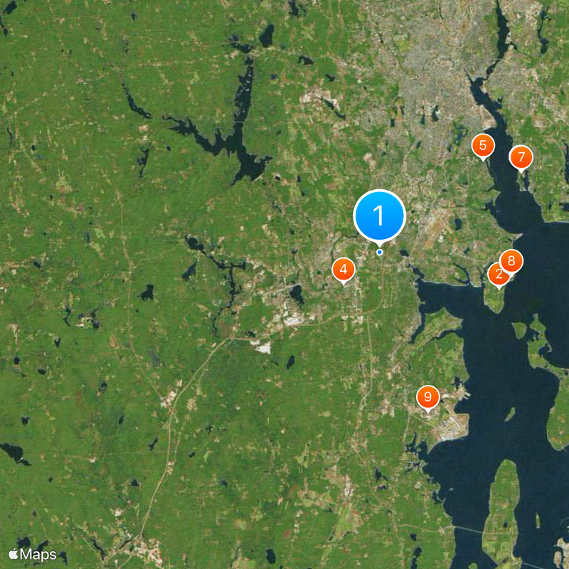
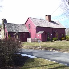
Kent County is an administrative region in central Rhode Island that encompasses multiple municipalities including East Greenwich, Warwick, Coventry, West Greenwich, and West Warwick. The area stretches from inland communities to coastal sections along Narragansett Bay.

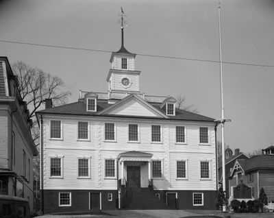
The county was established in 1750 during the colonial period as one of Rhode Island's five original administrative divisions. Its formation followed the early settlement patterns of the region and has maintained its geographic boundaries to the present day.

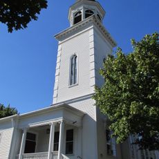
Each municipality in Kent County maintains its own educational facilities, libraries, and recreation centers that serve the local population throughout the year.

Visitors can explore the area by car, as the various municipalities are connected by highways and local roads. Public services and information are accessible through local government offices in each municipality.

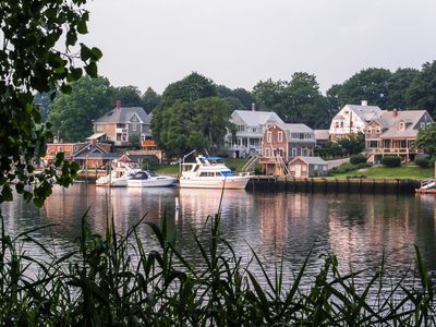
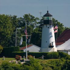
The county connects inland regions with coastal areas through multiple harbors and marinas along Narragansett Bay. This combination enables diverse water-based activities for both visitors and residents.

The community of curious travelers

AroundUs brings together thousands of curated places, local tips, and hidden gems, enriched daily by 60,000 contributors worldwide.

Start exploring
Location
Inception
1750
Capital city
East Greenwich
Shares border with
Providence County, Washington County, Windham County, New London County, Bristol County, Newport County, Northeastern Connecticut Planning Region
GPS coordinates
41.70412,-71.47953
Latest update
December 20, 2025 12:56
Around this place
Aldrich Mansion
United States of America

Aldrich Mansion

8.9 km
Rocky Point Amusement Park
United States of America

Rocky Point Amusement Park

9.5 km
Station Fire Memorial Park
United States of America

Station Fire Memorial Park

3.4 km
Pawtuxet Village
United States of America

Pawtuxet Village

9.9 km
Crescent Park Looff Carousel
United States of America

Crescent Park Looff Carousel

11.6 km
Crescent Park
United States of America

Crescent Park

11.7 km
Rocky Point State Park
United States of America

Rocky Point State Park

9.5 km
Camp Endicott
United States of America

Camp Endicott

11.8 km
Goddard Memorial State Park
United States of America

Goddard Memorial State Park

6.1 km
Buttonwoods Beach Historic District
United States of America

Buttonwoods Beach Historic District

6.1 km
Hope Village Historic District
United States of America

Hope Village Historic District

7.8 km
General Nathanael Greene Homestead
United States of America

General Nathanael Greene Homestead

5.5 km
Lippitt Mill
United States of America

Lippitt Mill

4.3 km
Massie Wireless Station
United States of America

Massie Wireless Station

9.3 km
Cranston Public Library
United States of America

Cranston Public Library

5.9 km
Paine House
United States of America

Paine House

7.2 km
Rhodes-on-the Pawtuxet
United States of America

Rhodes-on-the Pawtuxet

10.1 km
Windmill Cottage
United States of America

Windmill Cottage

4.9 km
Clement Weaver-Daniel Howland House
United States of America

Clement Weaver-Daniel Howland House

5 km
Forge Farm
United States of America

Forge Farm

7.7 km
Warwick Light
United States of America

Warwick Light

9.4 km
Arkwright Bridge
United States of America

Arkwright Bridge

6.3 km
Gen. James Mitchell Varnum House
United States of America

Gen. James Mitchell Varnum House

5.1 km
Rice City Historic District
United States of America

Rice City Historic District

23.7 km
Sabin Point Light
United States of America

Sabin Point Light

10.9 km
Crompton Mill Historic District
United States of America

Crompton Mill Historic District

4.3 km
United States of America

Bullock's Point Light

10.3 km
Edward Searle House
United States of America

Edward Searle House

4.9 km
Show the full map
« Kent County - County administrative division in Rhode Island, US » is provided by Around Us (aroundus.com). Images and texts are derived from Wikimedia project under a Creative Commons license. You are allowed to copy, distribute, and modify copies of this page, under the conditions set by the license, as long as this note is clearly visible.

Discover hidden gems everywhere you go!

From secret cafés to breathtaking viewpoints, skip the crowded tourist spots and find places that match your style. Our app makes it easy with voice search, smart filtering, route optimization, and insider tips from travelers worldwide. Download now for the complete mobile experience.

Around Us App Screenshot

A unique approach to discovering new places

Le Figaro

All the places worth exploring

France Info

A tailor-made excursion in just a few clicks

20 Minutes

Around Us
Travel Guide & Maps
Download

Send to your phone

QR Code
1

Open the camera app on your mobile.

2

Point at the QR code with your camera. A notification will appear.

3

Tap the notification to open the link.