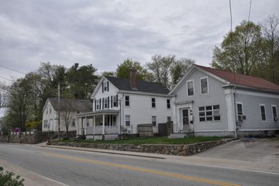
Coventry, town in Kent County, Rhode Island, United States
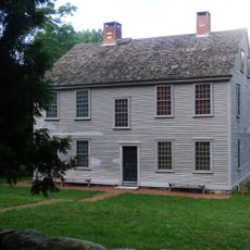
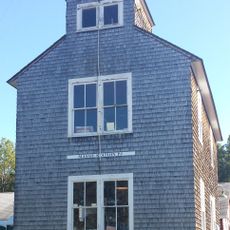
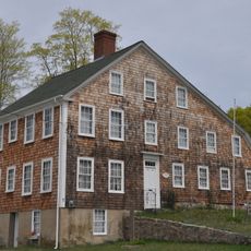
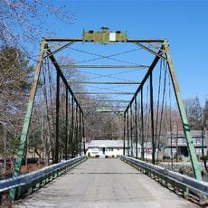
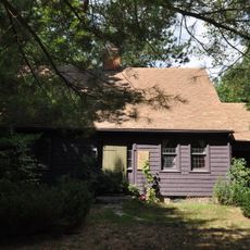
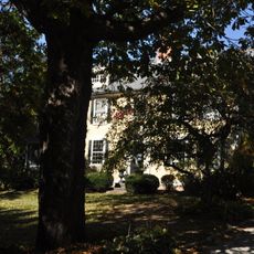
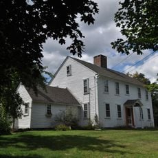
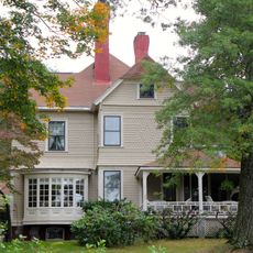
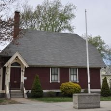
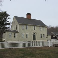
Coventry is a town in Kent County, Rhode Island that spans a substantial area encompassing several villages and neighborhoods. The town blends rural landscapes with small populated centers where traditional buildings stand near modern residential developments.
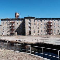
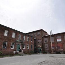
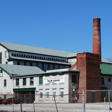
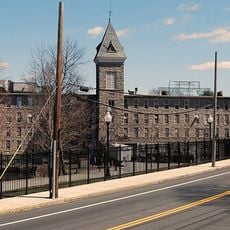
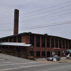
The town was established in the early 1700s and initially developed as an agricultural community. Industrial activity later became central to its growth, particularly textile and manufacturing production.
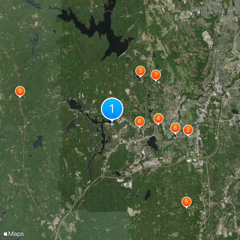
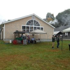
The area is easiest to explore by car since the different villages spread across several miles. Those wanting to see typical New England countryside should allow time for slow drives through rural roads.
The community of curious travelers
AroundUs brings together thousands of curated places, local tips, and hidden gems, enriched daily by 60,000 contributors worldwide.