Enable Location

We need your location to show you interesting places around you

Discover nearby places

Find interesting locations and hidden gems around you

Precise directions

Get accurate directions and distances to places

Your location is never shared with other users. It's only used when you tap the location button.

New Milford

Log in to your account

Start exploring — it's free

Trusted by 61,374 travelers worldwide

Continue with Google
Continue with Apple
or

We will send you a code to connect

By continuing, you accept our Terms and Conditions and our Privacy Policy

Check your inbox

We've sent a pincode in your inbox. Please enter the code below.

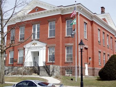
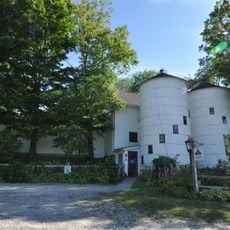
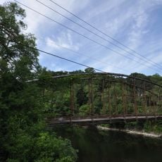
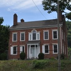
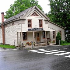
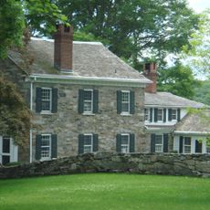
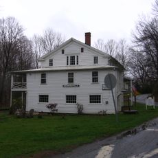
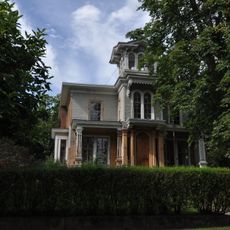
New Milford, New England town in Litchfield County, Connecticut, United States

Description

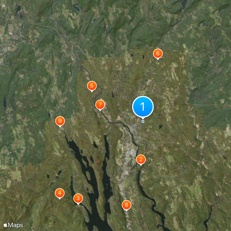
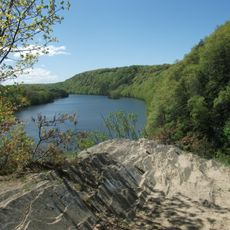
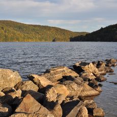
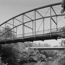
New Milford is a town set along the Housatonic River with residential neighborhoods and business zones spread across rolling terrain. The area includes the river valley, open spaces, and developed sections that shape how the community is laid out.

History

The first European settlement began in 1707 when John Noble Sr. and his daughter Sarah established a residence in land previously inhabited by the Wawyachtonoc people. This early founding shaped the area's long-term development.

Culture

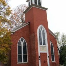
The town center hosts religious buildings, art galleries, and performance venues that support local creative work throughout the year. These spaces shape how residents and visitors experience the place on a daily basis.

Practical

Direct access via U.S. Route 7 and U.S. Route 202 connects the town to neighboring communities and outdoor recreation areas with ease. These roads pass through the area, making it straightforward to navigate between different parts of town.

Did you know?

The Elephant's Trunk Flea Market operates weekly from April through December and ranks among New England's largest outdoor markets. Visitors can browse a wide range of crafts, vintage items, and local goods on Saturday mornings.

Inception
1707
Elevation above the sea
73 m
Shares border with
Brookfield, Bridgewater, New Fairfield, Sherman, Kent, Washington, Roxbury
GPS coordinates
41.58333,-73.40000
Latest update
December 14, 2025 19:43

AroundUs brings together thousands of curated places, local tips, and hidden gems, enriched daily by 60,000 contributors worldwide. Discover all places nearby (Western Connecticut Planning Region).

Around this place
Lovers Leap State Park
United States of America

Lovers Leap State Park

4.3 km
Squantz Pond State Park
United States of America

Squantz Pond State Park

10.3 km
Pootatuck State Forest
United States of America

Pootatuck State Forest

11.1 km
United States of America

Tory cave

5.8 km
Hunt Hill Farm
United States of America

Hunt Hill Farm

6.3 km
Boardman's Bridge
United States of America

Boardman's Bridge

4.4 km
John Glover Noble House
United States of America

John Glover Noble House

8.9 km
Sherman Historic District
United States of America

Sherman Historic District

8.1 km
New Preston Hill Historic District
United States of America

New Preston Hill Historic District

10.4 km
United Bank Building
United States of America

United Bank Building

1.2 km
New Milford Center Historic District
United States of America

New Milford Center Historic District

796 m
Merwinsville Hotel
United States of America

Merwinsville Hotel

9.7 km
Merryall Union Evangelical Society Chapel
United States of America

Merryall Union Evangelical Society Chapel

7.3 km
St. Andrew's Episcopal Church
United States of America

St. Andrew's Episcopal Church

9.2 km
E. A. Wildman & Co. Tobacco Warehouse
United States of America

E. A. Wildman & Co. Tobacco Warehouse

1.3 km
Bridgewater Center Historic District
United States of America

Bridgewater Center Historic District

6.1 km
Frederick S. Sanford House
United States of America

Frederick S. Sanford House

5.8 km
United States of America

John J. McCarthy Observatory

6.8 km
Lover's Leap Bridge
United States of America

Lover's Leap Bridge

4.4 km
United States of America

Lynn Deming Park

3.5 km
Pine Ledge
United States of America

Pine Ledge

9.6 km
United States of America

Lovers Leap

4.8 km
United States of America

Kelly Slide

4.2 km
United States of America

Star Theater

1.2 km
Sherman Town Beach
United States of America

Sherman Town Beach

7.8 km
United States of America

Ella Fohs Camp Pond

6.5 km
United States of America

Reservoir Number 4

1.8 km
United States of America

Lake Mauweehoo

9.5 km
Show the full map
« New Milford - New England town in Litchfield County, Connecticut, United States » is provided by Around Us (aroundus.com). Images and texts are derived from Wikimedia project under a Creative Commons license. You are allowed to copy, distribute, and modify copies of this page, under the conditions set by the license, as long as this note is clearly visible.

Discover hidden gems everywhere you go!

From secret cafés to breathtaking viewpoints, skip the crowded tourist spots and find places that match your style. Our app makes it easy with voice search, smart filtering, route optimization, and insider tips from travelers worldwide. Download now for the complete mobile experience.

Around Us App Screenshot

A unique approach to discovering new places

Le Figaro

All the places worth exploring

France Info

A tailor-made excursion in just a few clicks

20 Minutes

Around Us
Travel Guide & Maps
Download

Send to your phone

QR Code
1

Open the camera app on your mobile.

2

Point at the QR code with your camera. A notification will appear.

3

Tap the notification to open the link.