Chest opened
+${chestReward.xp} XP
Explorer
NOUVEAU ×${chestReward.collectible.quantity}
tapez pour fermer
Chest locked

Open chests in the app

Around Us is built for your phone — chests unlock when you walk, explore and capture nearby places.

Enable Location

We need your location to show you interesting places around you

Discover nearby places

Find interesting locations and hidden gems around you

Precise directions

Get accurate directions and distances to places

Your location is never shared with other users. It's only used when you tap the location button.

Kalona

Log in to your account

Start exploring — it's free

Trusted by 72,891 travelers worldwide

Continue with Google
Continue with Apple
or

We will send you a code to connect

By continuing, you accept our Terms and Conditions and our Privacy Policy

Check your inbox

We've sent a pincode in your inbox. Please enter the code below.

Discussion Reviews 1 Photos
27.6k Popularity

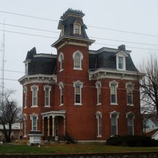
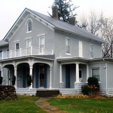
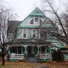
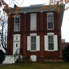
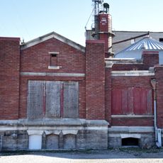
Kalona, Rural community in Washington County, Iowa.

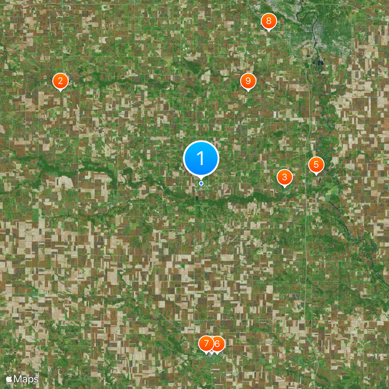
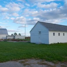
Kalona is a rural community in Washington County, Iowa, situated in an agricultural region with fields stretching around it. The town is connected by roads to neighboring areas and lies at an elevation of 201 meters.

The settlement started in 1879 when the Burlington, Cedar Rapids and Northern Railway built a station there. This railway connection was the catalyst for the town's development and growth.

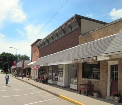
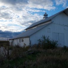
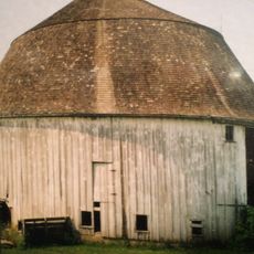
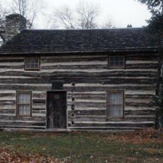
The local population is deeply shaped by Amish and Mennonite communities, whose traditional ways and farming practices influence how people live and work together. You experience this culture directly through local crafts, markets, and daily interactions in the town.

The town offers various municipal services and regular community meetings that help you stay informed about local matters. The best time to visit is during monthly market days, when the town is most active and you can meet local producers.

Monthly farmers markets display local produce and handmade goods from surrounding family farms, offering a direct look at what sustains the community. These markets reveal the heart of what the region produces and values.

The community of curious travelers

AroundUs brings together thousands of curated places, local tips, and hidden gems, enriched daily by 60,000 contributors worldwide.

Start exploring
Inception
1879
Elevation above the sea
201 m
GPS coordinates
41.48694,-91.70528
Latest update
December 20, 2025 13:35
Around this place
St. Michael's Catholic Church
United States of America

St. Michael's Catholic Church

20.8 km
St. Mary's Catholic Church
United States of America

St. Mary's Catholic Church

10.3 km
Blair House
United States of America

Blair House

21.1 km
United States of America

Blue Top Ridge Golf Course

14.3 km
Jonathan Clark Conger House
United States of America

Jonathan Clark Conger House

21.1 km
Frank Stewart House
United States of America

Frank Stewart House

21 km
Johnson County Poor Farm and Asylum Historic District
United States of America

Johnson County Poor Farm and Asylum Historic District

20.6 km
United States of America

Roberts Octagon Barn

12.9 km
Miller Round Barn
United States of America

Miller Round Barn

10.3 km
Alexander Young Cabin
United States of America

Alexander Young Cabin

21.1 km
Joseph Keck House
United States of America

Joseph Keck House

21 km
Pilotburg Church
United States of America

Pilotburg Church

8.3 km
Kurtz House
United States of America

Kurtz House

21.1 km
First Johnson County Asylum
United States of America

First Johnson County Asylum

20.6 km
Smith Wildman and Jennie Brookhart House
United States of America

Smith Wildman and Jennie Brookhart House

20.9 km
Winfield Smouse House
United States of America

Winfield Smouse House

21.2 km
H.A. Baxter Coal Company Historic District
United States of America

H.A. Baxter Coal Company Historic District

20.8 km
United States of America

West Side Residential Historic District

21 km
The Voyage Home Museum
United States of America

The Voyage Home Museum

10.8 km
United States of America

Central Park

21 km
United States of America

Mesquakie Park

20.8 km
United States of America

Van Allen Observatory

14.5 km
McCleery Calendar Factory
United States of America

McCleery Calendar Factory

20.7 km
United States of America

Blue Top Ridge

14.6 km
United States of America

Kalona Golf Club

3.4 km
United States of America

Pleasant Valley Golf Course

21.1 km
United States of America

Wellman Golf Course

10.7 km
United States of America

Scenic viewpoint

20 km
Show the full map
Reviews
Share your experience

No review yet

Discussions
Start a discussion...

No discussion yet

« Kalona - Rural community in Washington County, Iowa » is provided by Around Us (aroundus.com). Images and texts are derived from Wikimedia project under a Creative Commons license. You are allowed to copy, distribute, and modify copies of this page, under the conditions set by the license, as long as this note is clearly visible.

Discover hidden gems everywhere you go!

From secret cafés to breathtaking viewpoints, skip the crowded tourist spots and find places that match your style. Our app makes it easy with voice search, smart filtering, route optimization, and insider tips from travelers worldwide. Download now for the complete mobile experience.

Around Us App Screenshot

A unique approach to discovering new places

Le Figaro

All the places worth exploring

France Info

A tailor-made excursion in just a few clicks

20 Minutes

Around Us
Travel Guide & Maps
Download

Send to your phone

QR Code
1

Open the camera app on your mobile.

2

Point at the QR code with your camera. A notification will appear.

3

Tap the notification to open the link.