Enable Location

We need your location to show you interesting places around you

Discover nearby places

Find interesting locations and hidden gems around you

Precise directions

Get accurate directions and distances to places

Your location is never shared with other users. It's only used when you tap the location button.

Washington County

Log in to your account

Start exploring — it's free

Trusted by 61,338 travelers worldwide

Continue with Google
Continue with Apple
or

We will send you a code to connect

By continuing, you accept our Terms and Conditions and our Privacy Policy

Check your inbox

We've sent a pincode in your inbox. Please enter the code below.

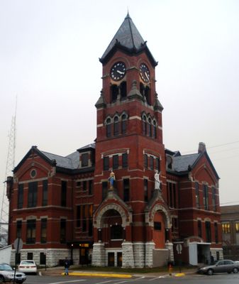
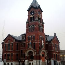
Washington County, County administrative division in Southeast Iowa, United States.

Description

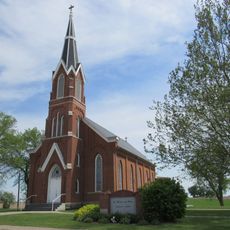
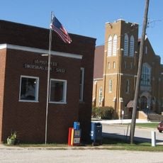
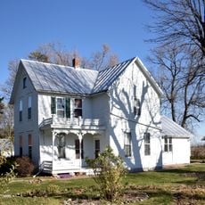
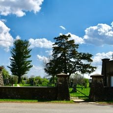
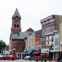
The county spreads across forested and agricultural land in southeast Iowa. It contains nine incorporated towns led by the county seat of Washington, along with smaller communities such as Kalona and Riverside that are connected by local roads.

History

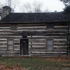
The territory was originally known as Slaughter County when established in 1838 but was renamed Washington County in 1839. This change reflected the region's commitment to honor American founding values.

Culture

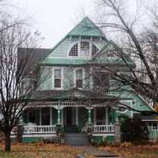
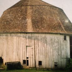
The county name honors George Washington and reflects the region's early American ties. Residents maintain strong connections to farming traditions that remain visible today through community gatherings and local practices.

Practical

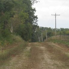
U.S. Highway 218 and several state highways connect the towns and provide access throughout the region. The area is primarily rural, so visitors should plan ahead and use maps to navigate between communities.

Did you know?

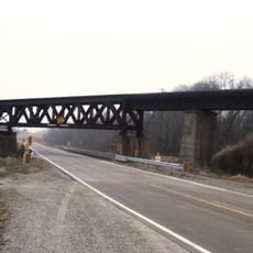
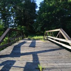
Two rivers, the English River and the Skunk River, flow through the area and once supported early timber industries. These waterways remain defining features of the landscape today.

Location
Inception
1838
Capital city
Washington
Shares border with
Johnson County, Henry County, Jefferson County, Louisa County, Keokuk County, Iowa County
GPS coordinates
41.33472,-91.71972
Latest update
December 7, 2025 20:46

AroundUs brings together thousands of curated places, local tips, and hidden gems, enriched daily by 60,000 contributors worldwide. Discover all places nearby (Iowa).

Around this place
Lake Darling State Park
United States of America

Lake Darling State Park

21.7 km
Red Ball Garage
United States of America

Red Ball Garage

29.4 km
St. Mary's Catholic Church
United States of America

St. Mary's Catholic Church

20.2 km
Blair House
United States of America

Blair House

4.8 km
Saints Peter and Paul Roman Catholic Church
United States of America

Saints Peter and Paul Roman Catholic Church

26.9 km
Jonathan Clark Conger House
United States of America

Jonathan Clark Conger House

5.2 km
C.F. and Mary Singmaster House
United States of America

C.F. and Mary Singmaster House

22.4 km
Washington County Courthouse
United States of America

Washington County Courthouse

16.5 km
Swedish Evangelical Lutheran Church
United States of America

Swedish Evangelical Lutheran Church

29.4 km
Gipple's Quarry Bridge
United States of America

Gipple's Quarry Bridge

29.8 km
Frank Stewart House
United States of America

Frank Stewart House

4.5 km
CM and StP Railroad Underpass
United States of America

CM and StP Railroad Underpass

4.6 km
Charles E. Hult House, Summer Kitchen and Wood Shed
United States of America

Charles E. Hult House, Summer Kitchen and Wood Shed

29.5 km
United States of America

Roberts Octagon Barn

29.3 km
Miller Round Barn
United States of America

Miller Round Barn

26.2 km
Alexander Young Cabin
United States of America

Alexander Young Cabin

4.4 km
County Line Bridge
United States of America

County Line Bridge

21 km
John Hultquist House
United States of America

John Hultquist House

29.5 km
Joseph Keck House
United States of America

Joseph Keck House

4.4 km
Pilotburg Church
United States of America

Pilotburg Church

12.1 km
Kurtz House
United States of America

Kurtz House

4.6 km
Woodlawn Cemetery Gates and Shelter
United States of America

Woodlawn Cemetery Gates and Shelter

4.9 km
Swedesburg Historic Commercial District
United States of America

Swedesburg Historic Commercial District

29.5 km
Smith Wildman and Jennie Brookhart House
United States of America

Smith Wildman and Jennie Brookhart House

5.2 km
Winfield Smouse House
United States of America

Winfield Smouse House

4.8 km
H.A. Baxter Coal Company Historic District
United States of America

H.A. Baxter Coal Company Historic District

4.7 km
Ramsey Building
United States of America

Ramsey Building

19.8 km
The Voyage Home Museum
United States of America

The Voyage Home Museum

20.2 km
Show the full map
Administrative divisions
« Washington County - County administrative division in Southeast Iowa, United States » is provided by Around Us (aroundus.com). Images and texts are derived from Wikimedia project under a Creative Commons license. You are allowed to copy, distribute, and modify copies of this page, under the conditions set by the license, as long as this note is clearly visible.

Discover hidden gems everywhere you go!

From secret cafés to breathtaking viewpoints, skip the crowded tourist spots and find places that match your style. Our app makes it easy with voice search, smart filtering, route optimization, and insider tips from travelers worldwide. Download now for the complete mobile experience.

Around Us App Screenshot

A unique approach to discovering new places

Le Figaro

All the places worth exploring

France Info

A tailor-made excursion in just a few clicks

20 Minutes

Around Us
Travel Guide & Maps
Download

Send to your phone

QR Code
1

Open the camera app on your mobile.

2

Point at the QR code with your camera. A notification will appear.

3

Tap the notification to open the link.