Chesterfield Township, Administrative division in Burlington County, United States
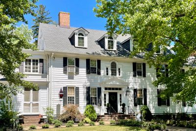
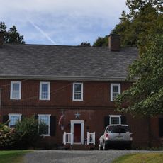
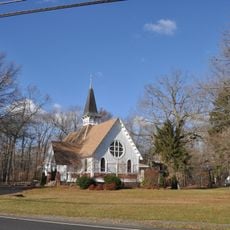
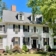
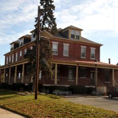
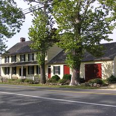
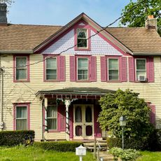
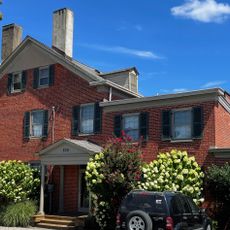
Chesterfield Township is an administrative division in Burlington County, New Jersey, blending residential neighborhoods with working farmland across its territory. The area spans roughly 27.6 square miles (71.5 square kilometers) and contains nine distinct unincorporated communities within its boundaries.
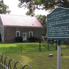
The township was established as a general law municipality in 1842 and experienced rapid growth after the Grand Trunk Railway arrived in 1865. The railroad connection transformed how residents moved goods and people, reshaping settlement patterns in the region.
The memorial park here serves as a gathering place where residents come together for commemorative occasions and annual celebrations with horse-drawn carriage rides. These events remain central to how locals connect and mark important moments throughout the year.
Residents access most municipal services through online platforms for paying property taxes, applying for permits, and reporting concerns. Visitors should know that many administrative tasks here are handled digitally, making it easy to find information before arriving.
The township implements deliberate farmland preservation programs designed to protect working agricultural areas and maintain the rural character of the region. This forward-thinking approach sets it apart from many neighboring communities experiencing rapid suburban expansion.
The community of curious travelers
AroundUs brings together thousands of curated places, local tips, and hidden gems, enriched daily by 60,000 contributors worldwide.