
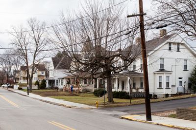
McDonald, borough of Pennsylvania, United States
Location: Allegheny County
Location: Washington County
Inception: 1865
Elevation above the sea: 347 m
Website: http://www.mcdonaldboro.com
Website: http://mcdonaldboro.com
GPS coordinates: 40.37000,-80.23278
Latest update: April 14, 2025 04:35
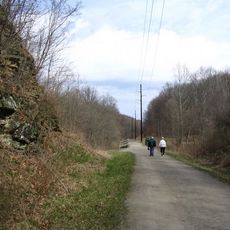
Montour Trail
5.8 km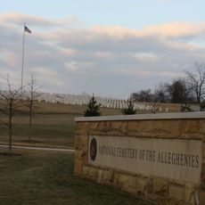
National Cemetery of the Alleghenies
8.9 km
Hillman State Park
13.3 km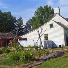
Woodville
11.6 km
Pittsburgh Botanic Garden
7 km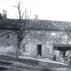
Black Horse Tavern
13.7 km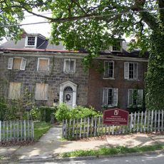
Roberts House
12.7 km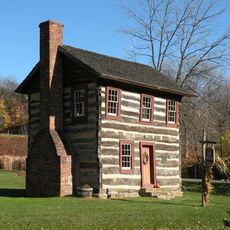
Fulton Log House
14.4 km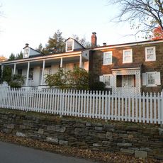
John Frew House
16.2 km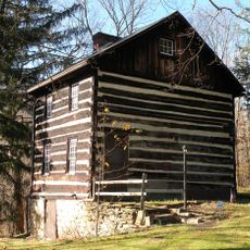
Walker-Ewing Log House
7.7 km
Hawthorne School
12.6 km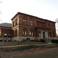
Andrew Carnegie Free Library
13.1 km
George Leber House
16.3 km
Denis Theatre
16 km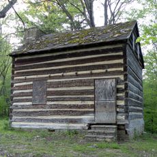
Walker-Ewing-Glass Log House
7.6 km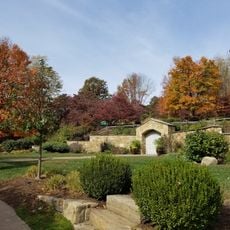
Pittsburgh Botanical Garden Welcome Center
7.4 km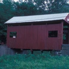
Krepps Covered Bridge
9 km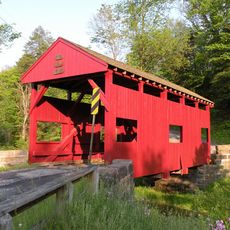
Lyle Covered Bridge
15.3 km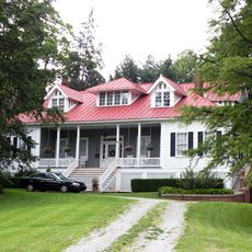
899 Old Thorn Run Road
16.7 km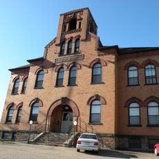
Oakdale Public School
5.2 km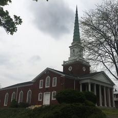
First Church of Christ, Scientist
15.5 km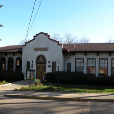
Thornburg Historic District
14.5 km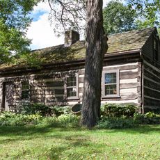
Stephenson-Campbell House
4.5 km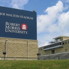
Joe Walton Stadium
16.9 km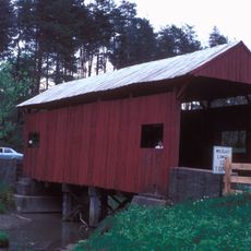
Leatherman Covered Bridge
9 km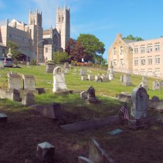
St. Clair Cemetery
16.3 km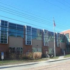
Mt. Lebanon Public Library
15.9 km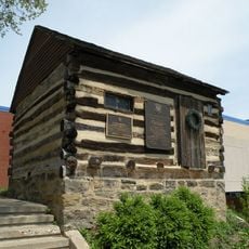
John McMillan's Log School
12.8 kmReviews
Visited this place? Tap the stars to rate it and share your experience / photos with the community! Try now! You can cancel it anytime.
Discover hidden gems everywhere you go!
From secret cafés to breathtaking viewpoints, skip the crowded tourist spots and find places that match your style. Our app makes it easy with voice search, smart filtering, route optimization, and insider tips from travelers worldwide. Download now for the complete mobile experience.

A unique approach to discovering new places❞
— Le Figaro
All the places worth exploring❞
— France Info
A tailor-made excursion in just a few clicks❞
— 20 Minutes