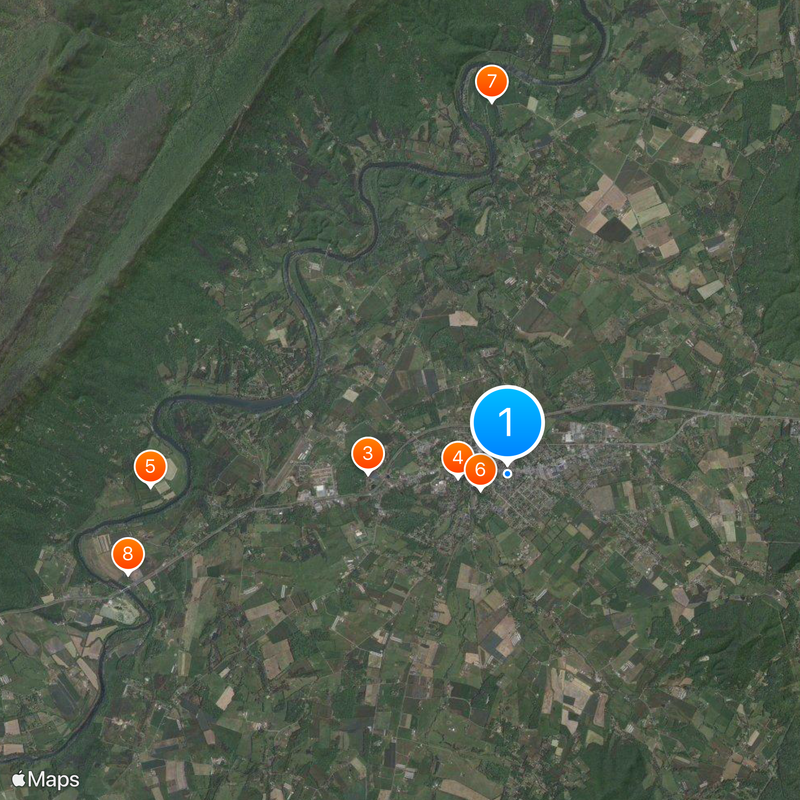
Luray, County seat in Shenandoah Valley, Virginia, United States
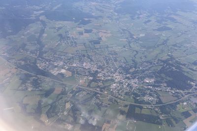
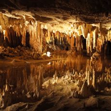
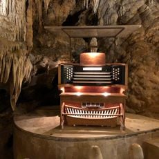
Luray is a town in the Shenandoah Valley situated between the Blue Ridge and Massanutten Mountains. It sits at an elevation of 243 meters and lies near the largest cave system in the eastern United States.
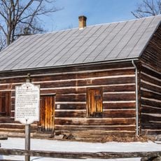
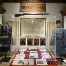
The town was founded in 1812 and later played a strategic role during the Valley Campaigns of the Civil War. These 1864 events left lasting marks on the region's history.
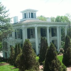
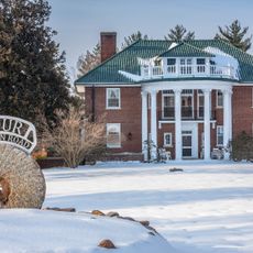
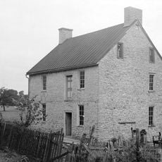
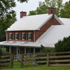
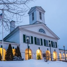
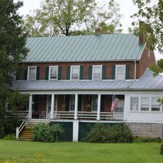
The downtown area displays buildings from different periods that shape how the town looks today. Local events throughout the year draw visitors and residents together around shared community traditions.
The town sits at the intersection of US Routes 211 and 340, providing direct access to the region. From here, visitors can easily explore Shenandoah National Park and other nearby attractions.
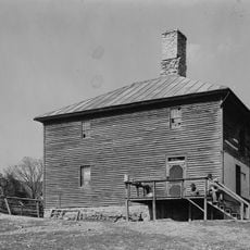
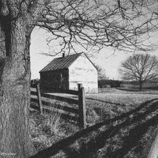
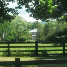
Lake Arrowhead is a recreation area combining water activities with mountain views. The surrounding region also preserves traces of old ironworks and mills that once shaped this area.
The community of curious travelers
AroundUs brings together thousands of curated places, local tips, and hidden gems, enriched daily by 60,000 contributors worldwide.