
Earl, town in Cleveland County, North Carolina
Location: Cleveland County
Elevation above the sea: 256 m
GPS coordinates: 35.19560,-81.53470
Latest update: March 5, 2025 02:05
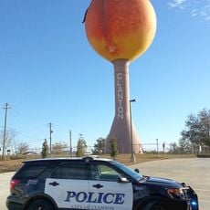
Peachoid
17.7 km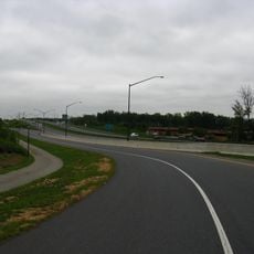
U.S. Route 29
8.3 km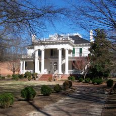
Webbley
10.2 km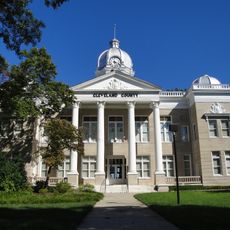
Cleveland County Courthouse
10.7 km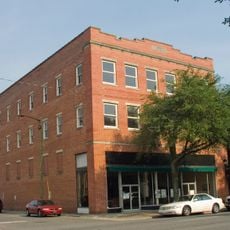
Historic Campbell Building
10.8 km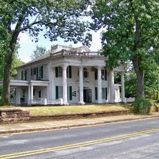
James Heyward Hull House
11.7 km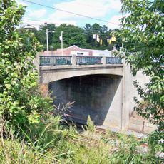
King Street Overhead Bridge
18 km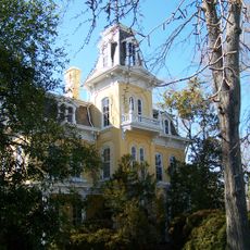
Banker's House
11.1 km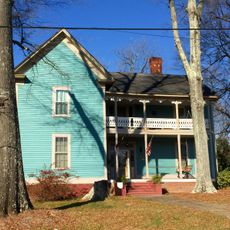
West End Historic District
17.5 km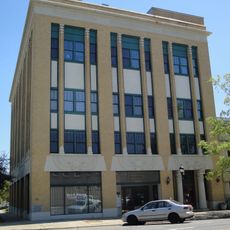
Masonic Temple Building
9.6 km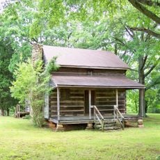
Irvin-Hamrick Log House
12.2 km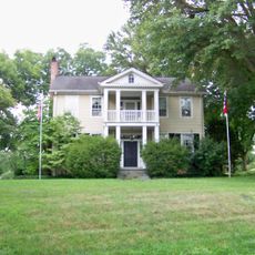
Joshua Beam House
17.4 km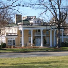
George Sperling House and Outbuildings
13.3 km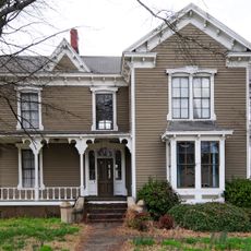
Jefferies House
17.6 km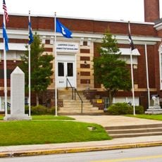
Carnegie Free Library
17.1 km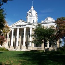
Central Shelby Historic District
10.3 km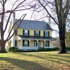
Joseph Suttle House
9 km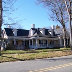
Dr. Victor McBrayer House
11 km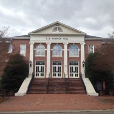
E. B. Hamrick Hall
13.5 km
Magness-Humphries House
14.3 km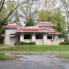
West Warren Street Historic District
10.7 km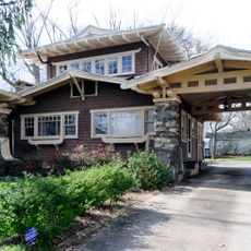
Settlemyer House
16.3 km
Margrace Mill Village Historic District
16 km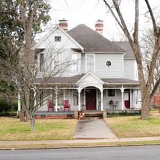
Gaffney Residential Historic District
17.7 km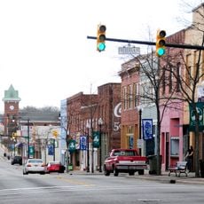
Gaffney Commercial Historic District
17.1 km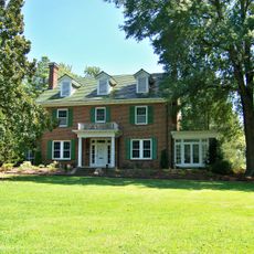
East Marion-Belvedere Park Historic District
10.7 km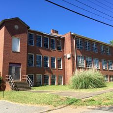
Cleveland County Training School
11.5 km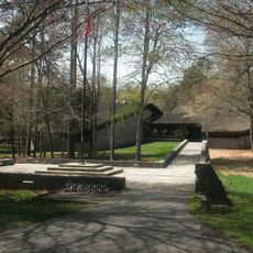
Kings Mountain National Military Park Visitor Center
15.6 kmReviews
Visited this place? Tap the stars to rate it and share your experience / photos with the community! Try now! You can cancel it anytime.
Discover hidden gems everywhere you go!
From secret cafés to breathtaking viewpoints, skip the crowded tourist spots and find places that match your style. Our app makes it easy with voice search, smart filtering, route optimization, and insider tips from travelers worldwide. Download now for the complete mobile experience.

A unique approach to discovering new places❞
— Le Figaro
All the places worth exploring❞
— France Info
A tailor-made excursion in just a few clicks❞
— 20 Minutes