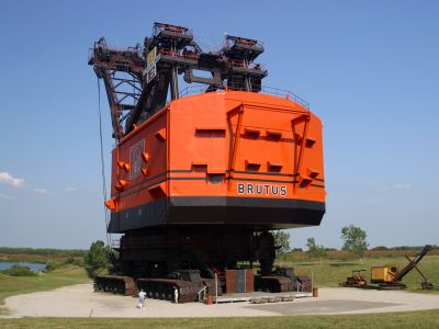
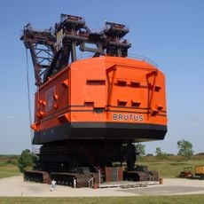
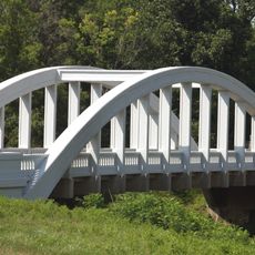
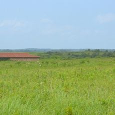
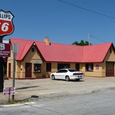
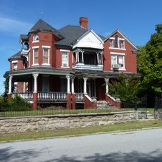
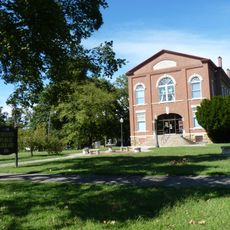
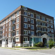
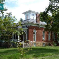
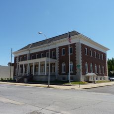
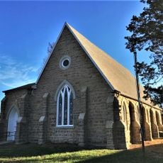
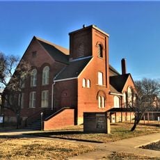
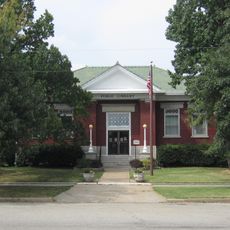
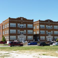
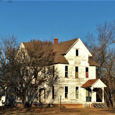
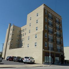
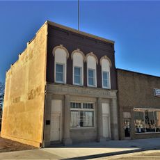
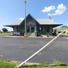
West Mineral, human settlement in Cherokee County, Kansas, United States of America
Location: Cherokee County
Elevation above the sea: 275 m
GPS coordinates: 37.28330,-94.92610
Latest update: March 27, 2025 20:15
Big Brutus
1.5 km
Rainbow Bridge
28.6 km
Prairie State Park
40.4 km
Crawford State Park
40.6 km
Fifth and Main Historic District
42.4 km
Scottish Rite Cathedral
42.4 km
Pittsburg Public Library
24 km
Oswego Public Library
20.7 km
Girard Public Library
26.3 km
Baxter Springs Independent Oil and Gas Service Station
33.3 km
Edgar Backus Schermerhorn House
35.5 km
Johnston Library
33.2 km
Olivia Apartments
42.2 km
Carnegie Library
30.3 km
Rial A. Niles House
33.8 km
Elks Club Lodge No. 501
42.4 km
St. John's Episcopal Church
26 km
Statue of Mickey Mantle
40.2 km
First Presbyterian Church
26.7 km
Columbus Public Carnegie Library
14.3 km
Ridgway Apartments
42.1 km
Julius A. Wayland House
27.4 km
Gentry Apartments
42.3 km
State Bank of Girard
26.2 km
Everett J. Ritchie Tri-State Mineral Museum
39.8 km
Galena Mining & Historical Museum
34.2 km
Curious Minds Discovery Zone
30.5 km
Crawford County Historical Museum
25.1 kmReviews
Visited this place? Tap the stars to rate it and share your experience / photos with the community! Try now! You can cancel it anytime.
Discover hidden gems everywhere you go!
From secret cafés to breathtaking viewpoints, skip the crowded tourist spots and find places that match your style. Our app makes it easy with voice search, smart filtering, route optimization, and insider tips from travelers worldwide. Download now for the complete mobile experience.
A unique approach to discovering new places❞
— Le Figaro
All the places worth exploring❞
— France Info
A tailor-made excursion in just a few clicks❞
— 20 Minutes