Enable Location

We need your location to show you interesting places around you

Discover nearby places

Find interesting locations and hidden gems around you

Precise directions

Get accurate directions and distances to places

Your location is never shared with other users. It's only used when you tap the location button.

Atlantic Heights Development

Log in to your account

Start exploring — it's free

Trusted by 62,986 travelers worldwide

Continue with Google
Continue with Apple
or

We will send you a code to connect

By continuing, you accept our Terms and Conditions and our Privacy Policy

Check your inbox

We've sent a pincode in your inbox. Please enter the code below.

Discussion Reviews 1 Photos
1.7k Popularity

Atlantic Heights Development, Historic worker subdivision in Portsmouth, New Hampshire.

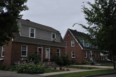
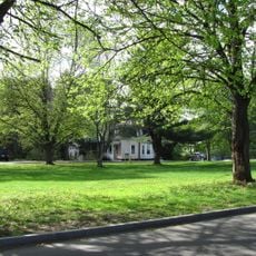
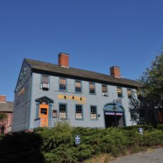
Atlantic Heights Development is a residential subdivision with over 120 houses in Portsmouth, New Hampshire, spread across approximately 80 acres and including several small parks and a school building. The neighborhood sits between Interstate 95, the Piscataqua River, and Boston and Maine Railroad tracks.

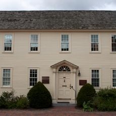
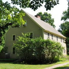
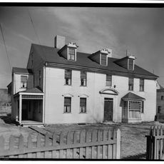
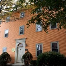
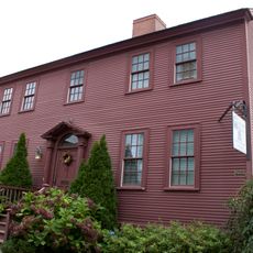
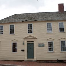
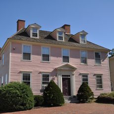
The neighborhood was built with American government funding during World War I to house workers at Atlantic Company Shipyard. Since its completion in 1920, it has stood as an example of how the government quickly provided housing for industrial workers.

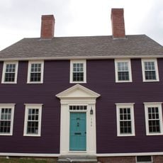
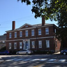
The development displays seven different house designs by Kilham & Hopkins architects, showing how residential neighborhoods were planned and built in the early 1900s. Visitors can still see today how these different houses come together to form a cohesive community.

The neighborhood is easily accessible given its location between multiple transportation routes, which visitors should keep in mind when planning their route. The area is best explored on foot to see the different house styles and parks in their original setting.

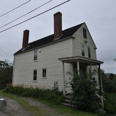
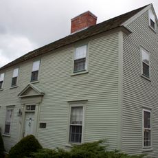
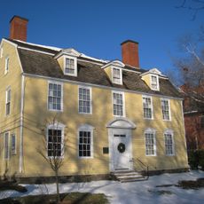
Many of the original houses from 1920 remain intact today, showing the residential construction methods of that era. Interestingly, many of these homes later received added garages, reflecting how daily life changed with the automobile.

The community of curious travelers

AroundUs brings together thousands of curated places, local tips, and hidden gems, enriched daily by 60,000 contributors worldwide.

Start exploring
Location
GPS coordinates
43.09190,-70.77220
Latest update
December 14, 2025 13:05
Around this place
USS Albacore
United States of America

USS Albacore

1.2 km
Piscataqua River Bridge
United States of America

Piscataqua River Bridge

498 m
Sarah Mildred Long Bridge
United States of America

Sarah Mildred Long Bridge

1.1 km
Richard Jackson House
United States of America

Richard Jackson House

1.3 km
The Music Hall
United States of America

The Music Hall

2 km
Moffatt-Ladd House
United States of America

Moffatt-Ladd House

1.8 km
Portsmouth Athenæum
United States of America

Portsmouth Athenæum

2 km
John Paul Jones Memorial Park
United States of America

John Paul Jones Memorial Park

1.9 km
Freewill Baptist Church-Peoples Baptist Church-New Hope Church
United States of America

Freewill Baptist Church-Peoples Baptist Church-New Hope Church

1.9 km
Henry Sherburne House
United States of America

Henry Sherburne House

1.7 km
Simeon P. Smith House
United States of America

Simeon P. Smith House

1.7 km
Phoebe Hart House
United States of America

Phoebe Hart House

1.7 km
Dennett Garrison
United States of America

Dennett Garrison

1.4 km
Joshua Wentworth House
United States of America

Joshua Wentworth House

1.9 km
Daniel Pinkham House
United States of America

Daniel Pinkham House

1.7 km
Nutter-Rymes House
United States of America

Nutter-Rymes House

1.7 km
Portsmouth Academy building
United States of America

Portsmouth Academy building

2 km
George Rogers House
United States of America

George Rogers House

1.3 km
Jeremiah Hart House
United States of America

Jeremiah Hart House

1.7 km
Samuel Beck House
United States of America

Samuel Beck House

1.8 km
Hart-Rice House
United States of America

Hart-Rice House

1.7 km
Benedict House
United States of America

Benedict House

2 km
James Neal House
United States of America

James Neal House

1.7 km
John Hart House
United States of America

John Hart House

1.7 km
Whidden-Ward House
United States of America

Whidden-Ward House

1.7 km
Portsmouth Parade Historic District
United States of America

Portsmouth Parade Historic District

1.8 km
John Paul Jones House
United States of America

John Paul Jones House

2.1 km
Sarah Mildred Long Bridge
United States of America

Sarah Mildred Long Bridge

1.1 km
Show the full map
Reviews
Share your experience

No review yet

Discussions
Start a discussion...

No discussion yet

« Atlantic Heights Development - Historic worker subdivision in Portsmouth, New Hampshire » is provided by Around Us (aroundus.com). Images and texts are derived from Wikimedia project under a Creative Commons license. You are allowed to copy, distribute, and modify copies of this page, under the conditions set by the license, as long as this note is clearly visible.

Discover hidden gems everywhere you go!

From secret cafés to breathtaking viewpoints, skip the crowded tourist spots and find places that match your style. Our app makes it easy with voice search, smart filtering, route optimization, and insider tips from travelers worldwide. Download now for the complete mobile experience.

Around Us App Screenshot

A unique approach to discovering new places

Le Figaro

All the places worth exploring

France Info

A tailor-made excursion in just a few clicks

20 Minutes

Around Us
Travel Guide & Maps
Download

Send to your phone

QR Code
1

Open the camera app on your mobile.

2

Point at the QR code with your camera. A notification will appear.

3

Tap the notification to open the link.