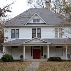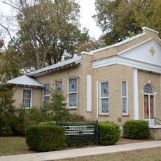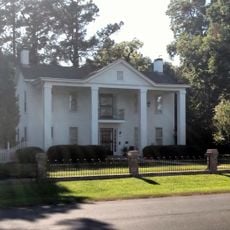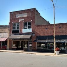
Chest opened
+${chestReward.xp} XP
Explorer
NOUVEAU ×${chestReward.collectible.quantity}
tapez pour fermer

See the monuments around you in AR Open chests in the app

Around Us is built for your phone — point your camera at the streets and discover the monuments and places around you in augmented reality. Around Us is built for your phone — chests unlock when you walk, explore and capture nearby places.

Enable Location

We need your location to show you interesting places around you

Discover nearby places

Find interesting locations and hidden gems around you

Precise directions

Get accurate directions and distances to places

Your location is never shared with other users. It's only used when you tap the location button.

Coy Site

Log in to your account

Start exploring — it's free

Trusted by 85,340 travelers worldwide

Continue with Google
Continue with Apple
or

We will send you a code to connect

By continuing, you accept our Terms and Conditions and our Privacy Policy

Check your inbox

We've sent a pincode in your inbox. Please enter the code below.

Discussion Reviews 1 Photos
1.6k Popularity

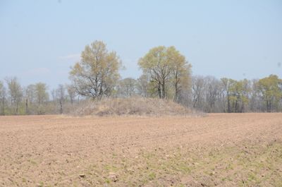
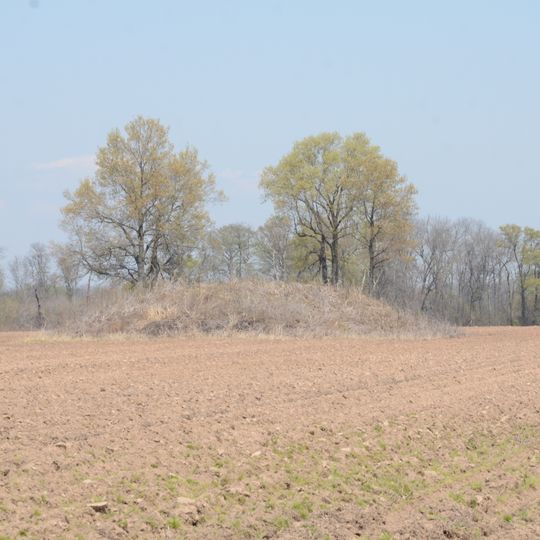
Coy Site, Native American mound in Lonoke County, United States.

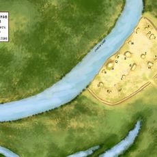
The Coy Site is an archaeological location containing a ceremonial mound situated near Indian-Bakers Bayou. The mound was constructed by early inhabitants and sits within a landscape marked by wetlands and water channels.

The site dates from a period between roughly 1000 and 500 AD, when communities were active in the Lower Mississippi Valley. This era marks an established population that constructed permanent structures like the mound.

The site reflects how early communities organized their relationship with the landscape and waterways. The location near the bayou suggests this place held importance for daily life and community identity.

Access to the site requires advance permission, and visitors should contact local authorities before visiting. It is wise to inquire about current regulations and any restrictions before planning a trip.

Research suggests the site reveals a connection between water resources and settlement strategy. This pattern offers clues about how early inhabitants selected their locations.

The community of curious travelers

AroundUs brings together thousands of curated places, local tips, and hidden gems, enriched daily by 60,000 contributors worldwide.
Start exploring
Location
GPS coordinates
34.54900,-91.88990
Latest update
August 30, 2026 21:32
Around this place
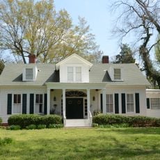
Plum Bayou Mounds Archeological State Park
United States of America

Plum Bayou Mounds Archeological State Park

12.1 mi
Dortch Plantation
United States of America

Dortch Plantation

14.8 mi
Plantation Agriculture Museum
United States of America

Plantation Agriculture Museum

15.5 mi
Lonoke County Courthouse
United States of America

Lonoke County Courthouse

16.4 mi
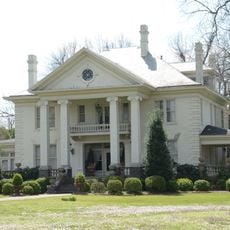
Ashley-Alexander House
United States of America

Ashley-Alexander House

15.8 mi
First Presbyterian Church
United States of America

First Presbyterian Church

16.1 mi
Eagle House
United States of America

Eagle House

16.2 mi
Trimble-McCrary House
United States of America

Trimble-McCrary House

15.9 mi
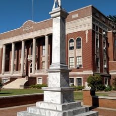
Lonoke Confederate Monument
United States of America

Lonoke Confederate Monument

16.4 mi
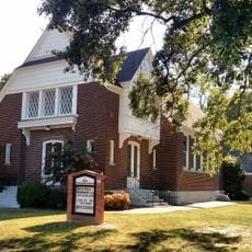
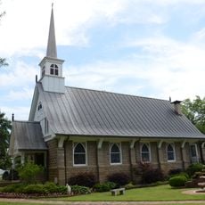
Alls Souls Church
United States of America

Alls Souls Church

15.7 mi
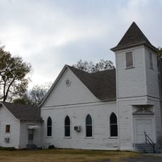
Sherrill Methodist Episcopal Church, South
United States of America

Sherrill Methodist Episcopal Church, South

11.7 mi
Shull House
United States of America

Shull House

16 mi
Trimble House
United States of America

Trimble House

15.9 mi
First Christian Church
United States of America

First Christian Church

16.4 mi
Plum Bayou Homesteads
United States of America

Plum Bayou Homesteads

12.5 mi
Walls House
United States of America

Walls House

16 mi
McKenzie House
United States of America

McKenzie House

15.5 mi
W.P. Fletcher House
United States of America

W.P. Fletcher House

16.5 mi
Wabbaseka Methodist Episcopal Church, South
United States of America

Wabbaseka Methodist Episcopal Church, South

14.1 mi
Thomas Sloan Boyd House
United States of America

Thomas Sloan Boyd House

16.1 mi
Lonoke Downtown Historic District
United States of America

Lonoke Downtown Historic District

16.3 mi
Wheat House
United States of America

Wheat House

15.9 mi
Joe P. Eagle and D. R. Boone Building
United States of America

Joe P. Eagle and D. R. Boone Building

16.2 mi
Roselawn
United States of America

Roselawn

16.8 mi
Keo Commercial Historic District
United States of America

Keo Commercial Historic District

7.7 mi
Seed Warehouse No. 5
United States of America

Seed Warehouse No. 5

15.7 mi
Tucker School
United States of America

Tucker School

8.7 mi
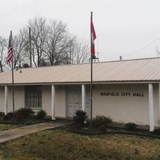
Redfield City Hall
United States of America

Redfield City Hall

18.2 mi
Show the full map
Reviews
Share your experience

No review yet

Discussions
Start a discussion...

No discussion yet

« Coy Site - Native American mound in Lonoke County, United States » is provided by Around Us (aroundus.com). Images and texts are derived from Wikimedia project under a Creative Commons license. You are allowed to copy, distribute, and modify copies of this page, under the conditions set by the license, as long as this note is clearly visible.

Discover hidden gems everywhere you go!

From secret cafés to breathtaking viewpoints, skip the crowded tourist spots and find places that match your style. Our app makes it easy with voice search, smart filtering, route optimization, and insider tips from travelers worldwide. Download now for the complete mobile experience.
Around Us App Screenshot

A unique approach to discovering new places

Le Figaro

All the places worth exploring

France Info

A tailor-made excursion in just a few clicks

20 Minutes

Around Us
Travel Guide & Maps
Download

Send to your phone

QR Code
1

Open the camera app on your mobile.

2

Point at the QR code with your camera. A notification will appear.

3

Tap the notification to open the link.