Götzis, Administrative division in Vorarlberg, Austria
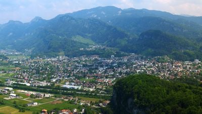
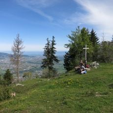
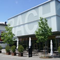
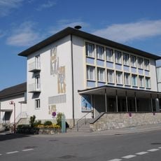
Götzis is a municipality in western Austria that spreads across the land with fields, scattered farms, and residential areas. The town sits in a flat valley and connects with neighboring communities to form a continuous settlement area in the region.
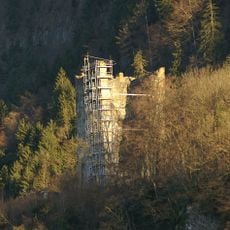
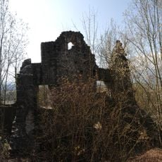
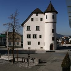
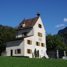
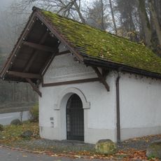
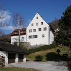
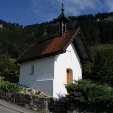
The area around Götzis shows signs of settlement dating back to Roman times, establishing an early human presence. The place grew into a regular community during medieval times with church and local structures that remain visible today.
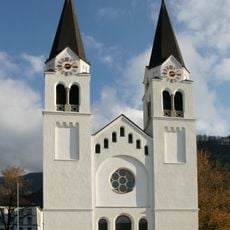
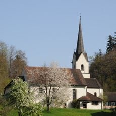
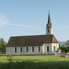
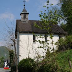
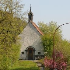
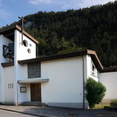
St. Ulrich Church stands at the heart of the town and shows how religious buildings shaped community life over the centuries. Visitors can see how such churches functioned as gathering places and remain important to local identity.
The town is served by Vorarlberg S-Bahn railway services that link to larger cities in the region. Getting around and exploring the local area is straightforward for visitors thanks to regular transport connections.
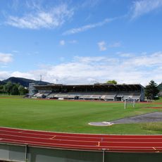
The Mösle stadium hosts an annual international athletics meeting where top decathlon and heptathlon competitors gather. This event draws visitors from around the world and brings international recognition to the small town.
The community of curious travelers
AroundUs brings together thousands of curated places, local tips, and hidden gems, enriched daily by 60,000 contributors worldwide.