
Klaus, municipality in Feldkirch District, Vorarlberg, Austria
Location: Feldkirch District
Elevation above the sea: 507 m
Website: http://www.klaus.at/
Email: gemeinde@klaus.cnv.at
Website: http://klaus.at
GPS coordinates: 47.30861,9.64667
Latest update: March 3, 2025 05:47

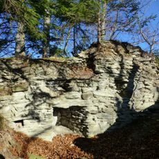
Burgruine Alt-Montfort
1.5 km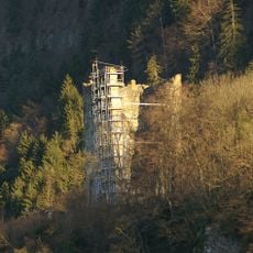
Burgruine Neu-Montfort
2.3 km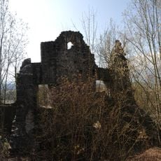
Burgruine Neuburg
2.5 km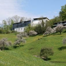
Bildungshaus St. Arbogast
1.9 km
Jonas-Schlössle
2.7 km
Pfarrkirche Hl. Agnes
393 m
Alte Pfarrkirche hl. Ulrich
2.6 km
Filialkirche hl. Arbogast (Götzis)
1.9 km
Pfarrkirche Weiler (Vorarlberg)
790 m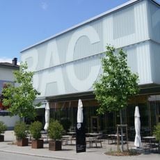
Kulturbühne Ambach
2.7 km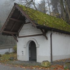
Chapel St. Loy
2.3 km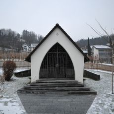
Kriegerdenkmal, (Franzosenkapelle)
279 m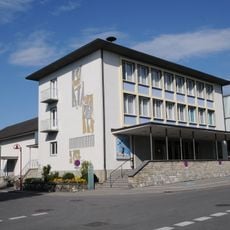
Altes Kino (Vereinshaus)
2.7 km
Lourdeskapelle Tschütsch
488 m
"Wasserhaus" (meaning: "Water house")
1.6 km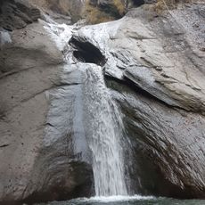
Ratzbachwaterfall
1.7 km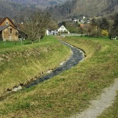
Ratzbach
1.7 km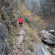
Kessel-Gorge
1.7 km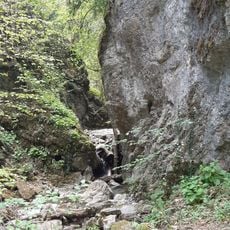
Oerflaschlucht
2.6 km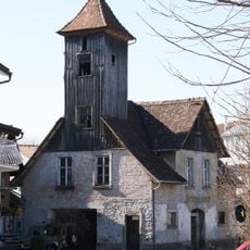
Zeughaus
2.7 km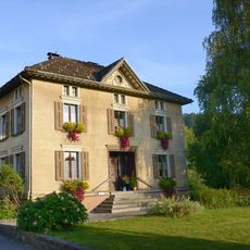
Pfarramt
818 m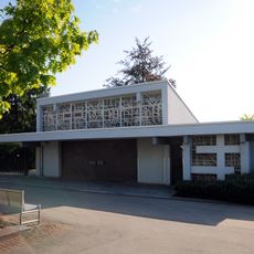
Leichenhalle
2.5 km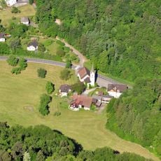
Sankt Arbogast
1.9 km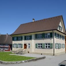
Wohnhaus
737 m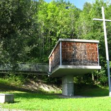
Family chapel
1.6 km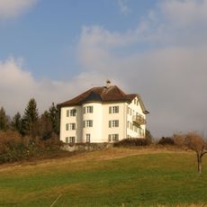
Residence Hanenberg
994 m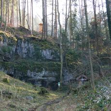
Pfaffenkeller
1.4 km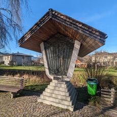
Bildstock in Weiler (Schwarzengasse)
705 mReviews
Visited this place? Tap the stars to rate it and share your experience / photos with the community! Try now! You can cancel it anytime.
Discover hidden gems everywhere you go!
From secret cafés to breathtaking viewpoints, skip the crowded tourist spots and find places that match your style. Our app makes it easy with voice search, smart filtering, route optimization, and insider tips from travelers worldwide. Download now for the complete mobile experience.

A unique approach to discovering new places❞
— Le Figaro
All the places worth exploring❞
— France Info
A tailor-made excursion in just a few clicks❞
— 20 Minutes