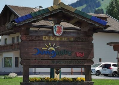
Jungholz, Rural municipality and border town in Reutte district, Austria
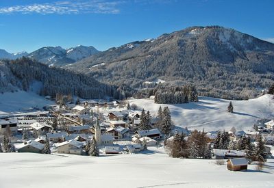
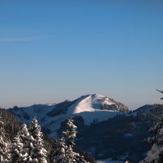
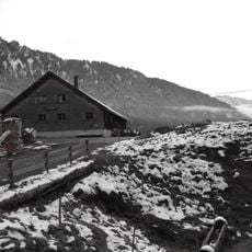
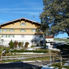
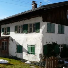
Jungholz is a small rural municipality in Reutte district positioned at approximately 1000 meters elevation. It sits as an isolated territory surrounded by German land, connected to Austria only through a mountain ridge called Sorgschrofen.
The area changed hands during medieval times through land sales and shifted political control. A treaty in the 1800s established its current status within Austrian territory.
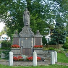
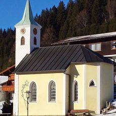
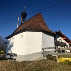
The settlement maintains traditions tied to local agriculture and mountain life, visible in how residents use the surrounding farmland and forests. These customs shape the character of daily life in this remote location.
The location is remote and best visited by personal vehicle due to limited road access. Plan ahead when visiting as services and facilities are sparse in this isolated settlement.
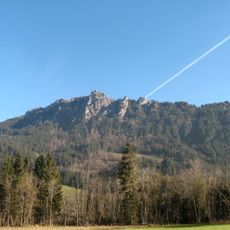
At the summit of Sorgschrofen mountain, four separate border lines meet at a single point where Austria and Germany converge with regional boundaries. This rare geographical arrangement draws the attention of those interested in border geography and unusual political divisions.
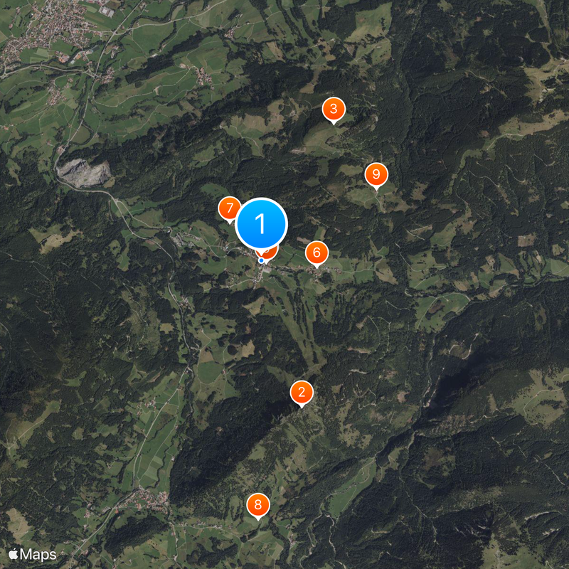
Location: Reutte district
Capital city: Jungholz
Elevation above the sea: 1,054 m
Shares border with: Pfronten, Schattwald, Bad Hindelang, Wertach, Nesselwang
Email: gemeinde@jungholz.tirol.gv.at
Website: https://jungholz.tirol.gv.at
GPS coordinates: 47.57361,10.44722
Latest update: December 14, 2025 18:05
Sorgschrofen
2.1 km
Reuterwanne
2.1 km
Pfarrkirche Unsere Liebe Frau Mariae Namen, Jungholz
70 m
Kriegerdenkmal Jungholz
71 m
Ortskapelle hll. Peter und Paul
753 m
Kapelle hl. Antonius, Jungholz
674 mKapelle
3.5 km
Stubentalalpe
1.8 km
Vordere Sorg Alpe
1.2 kmGehrenköpfle
3 kmCultural heritage D-7-8428-0040 in Wertach
2.3 km
Wohnteil eines Bauernhauses
2.8 kmHistorische Ausstattung
2.7 km
Bauernhaus
2.6 kmHolzenberg
2.6 kmCultural heritage D-7-8428-0044 in Wertach
2.7 kmKapelle
2.8 kmWandmalerei Bauernfamilie
165 mWester Kien Berg
3.6 kmScenic viewpoint
3.5 kmScenic viewpoint
2.1 kmScenic viewpoint
2.1 kmCatholic church building, wayside shrine, Christianity
3 kmWayside cross
913 mWayside cross, Christianity
3.3 kmWayside cross
3 kmWayside shrine, Christianity
2.6 kmWayside shrine, Christianity, Catholic church building
3 kmVisited this place? Tap the stars to rate it and share your experience / photos with the community! Try now! You can cancel it anytime.
Discover hidden gems everywhere you go!
From secret cafés to breathtaking viewpoints, skip the crowded tourist spots and find places that match your style. Our app makes it easy with voice search, smart filtering, route optimization, and insider tips from travelers worldwide. Download now for the complete mobile experience.
A unique approach to discovering new places❞
— Le Figaro
All the places worth exploring❞
— France Info
A tailor-made excursion in just a few clicks❞
— 20 Minutes