Sorgschrofen, Mountain summit in Allgäu Alps, Germany and Austria.
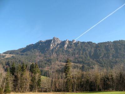
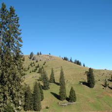
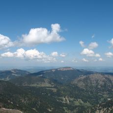
Sorgschrofen is a mountain summit in the Allgäu Alps rising between Bavaria and Tyrol, featuring two distinct peaks connected by a steep ridge at an elevation of around 1,635 meters. From the top, hikers enjoy far-reaching views across both regions.
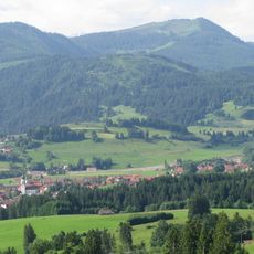
The ridge was established as a border between Germany and Austria through a treaty in 1844, making the mountain a meeting point of two nations. This agreement has shaped the area as a boundary region to this day.
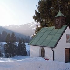
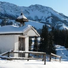
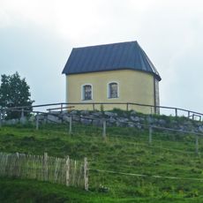
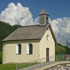
Two summit crosses stand on this peak and its neighboring summit, following the alpine tradition of placing religious symbols on mountain tops. These crosses reflect a landscape where faith and nature are closely intertwined.
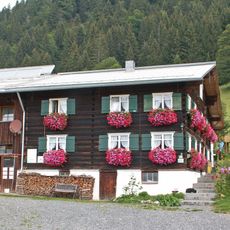
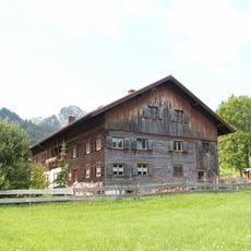
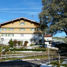
Two main hiking routes offer access: a direct path from Jungholz or an alternative trail from Unterjoch passing through Zehrerhöfe. Both routes demand solid hiking experience and sturdy boots, as sections of the ridge are steep and exposed.
At marker 110, four distinct territories meet: Bad Hindelang, Oberallgäu district, Jungholz, and Pfronten all converge at this point. This rare quadruple junction is clearly marked on maps and serves as a memorable reference for hikers exploring the area.
The community of curious travelers
AroundUs brings together thousands of curated places, local tips, and hidden gems, enriched daily by 60,000 contributors worldwide.