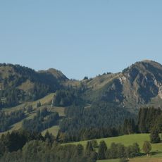
Wertacher Hörnle, Mountain peak in Allgäu Prealps, Bavaria, Germany.
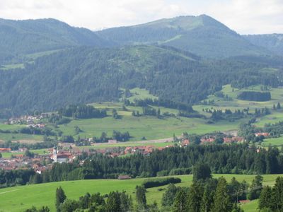
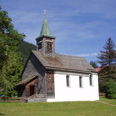
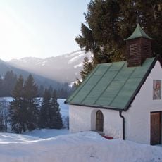
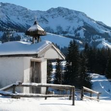
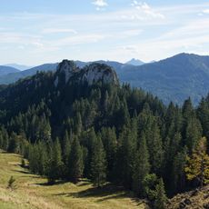
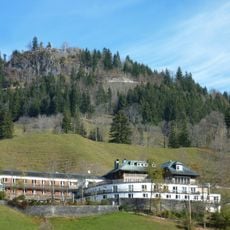
Wertacher Hörnle is a mountain peak in the Allgäu Prealps, in Bavaria, rising to around 5,580 feet (1,700 meters). The trail passes through forest and open alpine meadows before reaching the summit, where a large cross marks the top.
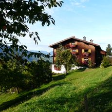
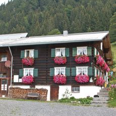
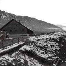
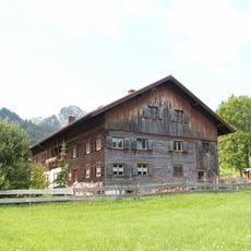
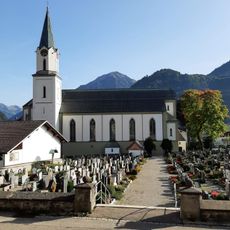
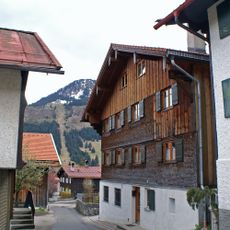
The peak takes its name from the nearby village of Wertach, which has been used as a base for mountain outings for generations. The surrounding Allgäu peaks were among the first in southern Bavaria to attract walkers from the lowlands during the 19th century.
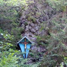
A large wooden cross stands at the top, as is common on many summits in the Bavarian Alps. Hikers often stop here to rest and take in the view, following a tradition that has long been part of mountain life in the region.
The trail is well marked and suitable for hikers with some basic experience, as the terrain changes along the way. Starting in the morning gives you enough time to descend comfortably before the light fades.
The word "Hörnle" means "little horn" in the local dialect, referring to the pointed shape of the summit when seen from below. Several peaks in the Allgäu share this name, making this one part of a family of similarly shaped summits across the region.
The community of curious travelers
AroundUs brings together thousands of curated places, local tips, and hidden gems, enriched daily by 60,000 contributors worldwide.