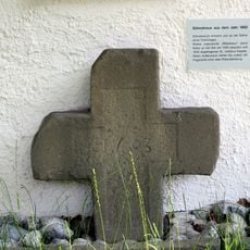
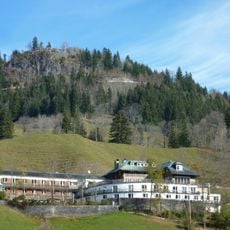
Spieser, Mountain and monumental cross in Bavaria, Germany.
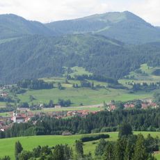
Spieser is a mountain in the Bavarian Alps with trails running through forested slopes and open meadows leading to its summit. The terrain features several ravines and creeks that shape the landscape throughout the climb.
The sources document no cross or religious history on the Spieser; the summit is a 1,651 m hiking peak on the northern edge of the Allgäu Alps, between Bad Hindelang and Unterjoch. It forms a group with up to three secondary summits, Ornach, Jochschrofen and Hirschberg, and lies in the Grünten, Großer Wald, Deutsche Alpenstraße and Wertachtal protected landscape. A small ski area with two lifts operates on its northern flank.
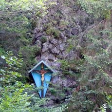
The Spieser lies between Bad Hindelang and Unterjoch, and its summit cross is a destination for local farming families and hikers. The mountain is also climbed on skis and snowshoes in winter, following the same routes as the summer trails.
Ascents start from Obergschwend between Ober- and Unterjoch via the ski slope and Spieserkar, about one and a half hours, or from Oberjoch over the Hirsch-Alpe and Steinpasssattel, or via the Ornachkreuz. Ski tourers follow the hiking paths, with additional routes through the forest to the Jochschrofen; the west slopes of the Jochschrofen toward Spieserkar are avalanche-prone. Snowshoes also reach the summit.
The Spieser is not a single summit: depending on how peaks are counted, up to three subsidiary tops belong to the group — Ornach, Jochschrofen and Hirschberg. A rock summit facing Hindelang west of the Hirschbachtobel, also called Hirschberg and bearing the Kellerwand, is not part of the group.
The community of curious travelers
AroundUs brings together thousands of curated places, local tips, and hidden gems, enriched daily by 93,757 contributors worldwide.