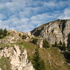
Schönkahler, Mountain at Austrian-German border in Allgäu Alps.
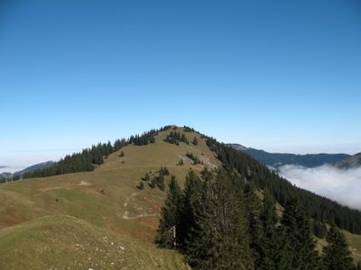
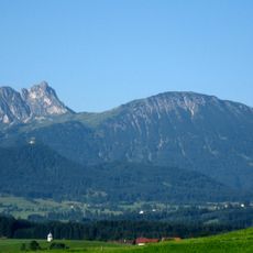
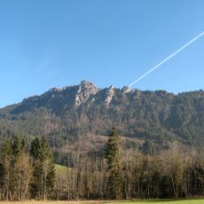
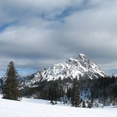
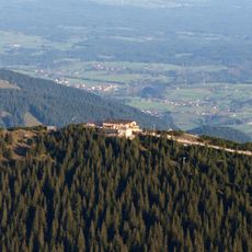
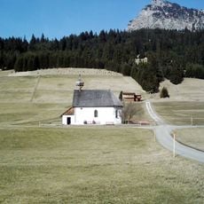
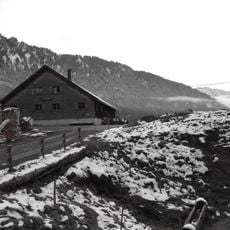
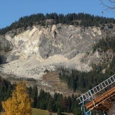
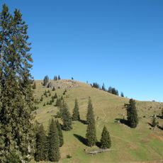
Schönkahler is a mountain on the Austrian-German border in the Allgäu Alps, rising to 1,688 meters (5,538 feet) with a summit cross marking the international boundary. The slopes feature mixed terrain including forest sections, open meadows, and rocky alpine passages leading to the top.
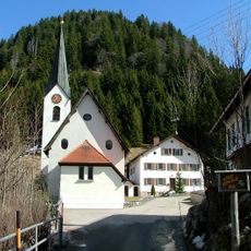
The mountain sits on ancient paths that connected Tyrolean and Allgäu territories, historically used for trade between regions since medieval times. These routes gradually transformed into hiking trails that visitors still follow today.
The summit cross brings together hikers from both countries and reflects the shared mountain tradition of local communities on either side. People from Austria and Germany meet at this point where national boundaries matter less than the surrounding alpine landscape.
The hike works best in dry conditions and takes roughly three hours to reach the summit from the starting point. Sturdy footwear is important, especially on the rocky sections at higher elevations.
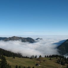
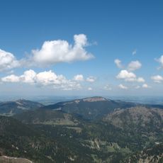
On clear days, visitors can see two distinct landscapes from the summit at once: the Austrian Tannheimer Tal valley on one side and the German Forggensee lake on the other. This view shows how closely the two regions sit together despite belonging to different countries.
The community of curious travelers
AroundUs brings together thousands of curated places, local tips, and hidden gems, enriched daily by 60,000 contributors worldwide.