Reutte district, Administrative district in northern Tyrol, Austria.
Description
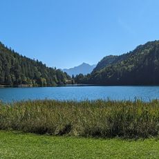
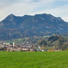
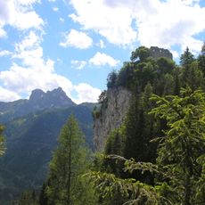
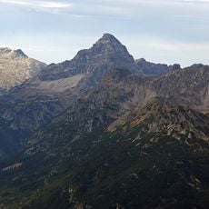
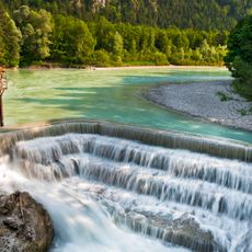
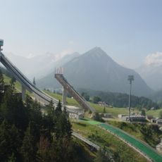
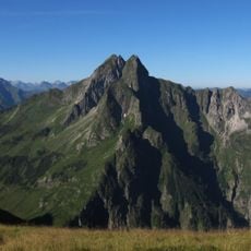
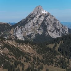
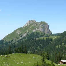
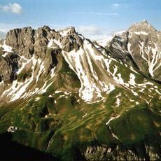
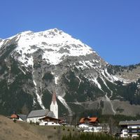
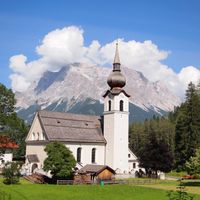
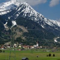
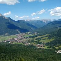
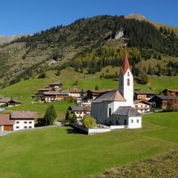
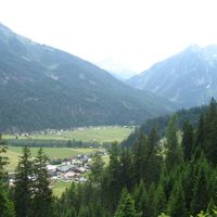
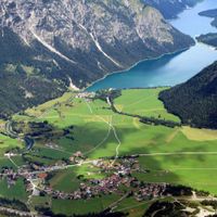
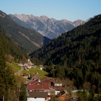
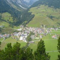
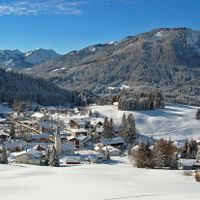
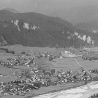
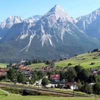
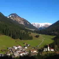
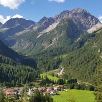
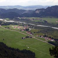
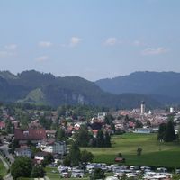
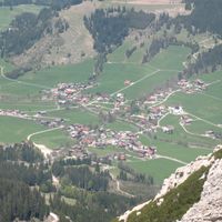
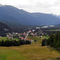
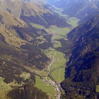
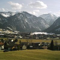
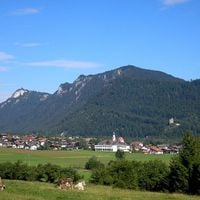
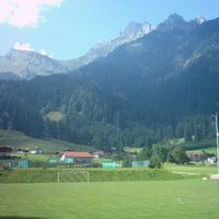
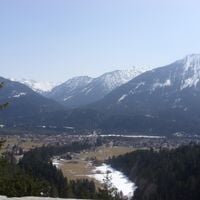
Reutte district is an administrative area in northern Tyrol that covers multiple valleys and mountain regions with many villages and small towns. The landscape includes areas between mountain ranges where settlements follow the valleys and hillsides.
History
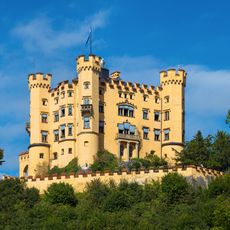
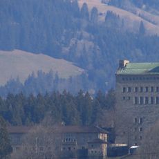
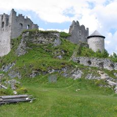
The district was shaped under Habsburg rule and took its modern form through administrative reforms over the centuries. The town of Reutte received market town status from Sigmund in 1489.
Culture
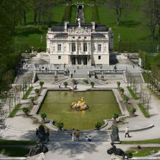
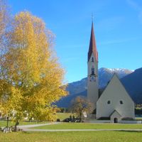
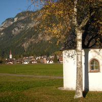
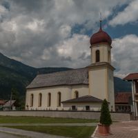
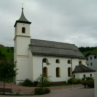
The towns within this district keep Tyrolean customs alive through regular festivals, traditional music, and local food specialties. Visitors can experience these traditions directly in village restaurants and during seasonal celebrations.
Practical
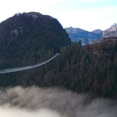
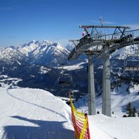
The area is easily reached from lowland regions and has several border crossings to Bavaria for visitors from the north. Most villages are accessible by car or local bus, though mountain roads can be challenging in winter conditions.
Did you know?
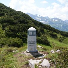
The municipality of Jungholz forms an unusual geographic situation where access requires driving through German territory, with no direct road link to other Austrian towns. This reflects the complex border history of the Alpine region.
AroundUs brings together thousands of curated places, local tips, and hidden gems, enriched daily by 60,000 contributors worldwide. Discover all places nearby (Tyrol).
Neuschwanstein Castle
25.7 km
Linderhof Palace
39.6 km
Hohenschwangau Castle
24.8 km
Highline179
18 km
Ordensburg Sonthofen
20 km
Alatsee
20.8 km
Heini Klopfer Ski Jump
17.6 km
Grünten
21.9 km
Falkenstein Castle
20.1 km
Breitachklamm
20.5 km
Steinbruch an der Schanz
22.9 km
Hochvogel
5.2 km
Nebelhorn
12.1 km
Marienbrücke
25.5 kmSchrecksee
4.9 km
Neuschwanstein
25.7 km
Boundary Stone 147
28.2 km
Lechfall
23.2 km
Tyrolean Zugspitze Cable Car
33.5 km
Nebelhorn Cable Car
12.1 km
Schattenberg Ski Jump
15.6 km
Schneeferner
35.8 km
Höfats
11.9 km
Ehrenberg Castle
18 km
Säuling
24.4 kmGroßer Krottenkopf
14.7 km
Aggenstein
15.9 km
Mädelegabel
19 km
Bach
Berwang
Biberwier
Bichlbach
Breitenwang
Ehenbichl
Ehrwald
Elbigenalp
Elmen
Forchach
Grän
Gramais
Häselgehr
Heiterwang
Hinterhornbach
Höfen
Holzgau
Jungholz
Kaisers
Lechaschau
Lermoos
Musau
Namlos
Nesselwängle
Pfafflar
Pflach
Pinswang
Reutte
Schattwald
Stanzach
Steeg
Tannheim
Vils
Vorderhornbach
Wängle
Weißenbach am Lech
Zöblen
Discover hidden gems everywhere you go!
From secret cafés to breathtaking viewpoints, skip the crowded tourist spots and find places that match your style. Our app makes it easy with voice search, smart filtering, route optimization, and insider tips from travelers worldwide. Download now for the complete mobile experience.
A unique approach to discovering new places❞
— Le Figaro
All the places worth exploring❞
— France Info
A tailor-made excursion in just a few clicks❞
— 20 Minutes