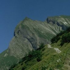
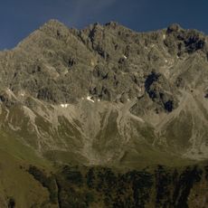
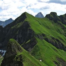
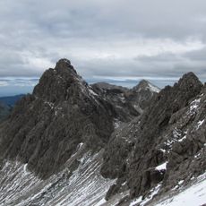
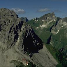
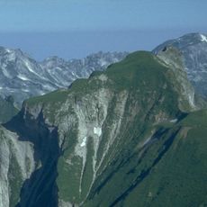
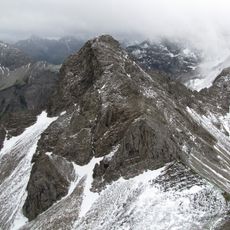
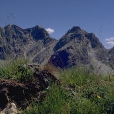
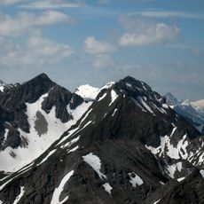
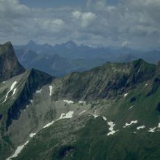
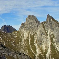
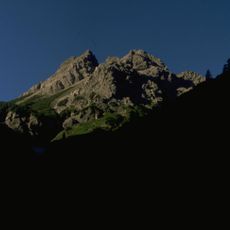
Hochvogel, Mountain summit in Allgäu Alps, Bavaria and Tyrol.
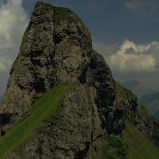
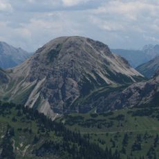
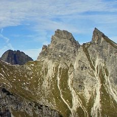
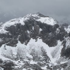
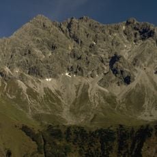
Hochvogel is a mountain summit in the Allgäu Alps that rises to 2,592 meters above sea level. Built from dolomite rock, it runs along the border between Bavaria and Tyrol, shaping the landscape where both regions meet.
The first documented ascent took place in 1832 by a climber from Kempten. Older reports suggest that a shepherd may have reached the summit several decades earlier, though these accounts remain unconfirmed.
The mountain marks the boundary between Germany and Austria and has shaped the landscape identity of both regions for generations. Local communities in the surrounding valleys recognize it as a defining landmark of their homelands and a natural border of their territories.
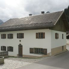
The Bäumenheimer Weg on the German side is closed by the authorities because it lies in the area threatened by the summit fracture. The approach runs from Hinterstein via the Giebelhaus and the Bärgündletal valley to the Prinz-Luitpold-Haus, which serves as the base. From Hinterhornbach in Tyrol the summit is visible directly above the village, but the ascent is long.
The summit fracture was first recorded in 1869, the year Hermann von Barth bivouacked on top. It now separates a stable northwest flank from an unstable southeast flank that has dropped about 3 m in the last century. Geologists expect up to 260,000 m³ of rock to fail.
The community of curious travelers
AroundUs brings together thousands of curated places, local tips, and hidden gems, enriched daily by 92,657 contributors worldwide.