Glasfelderkopf, Mountain summit in Bavaria, Germany
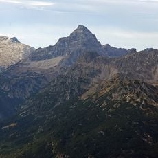
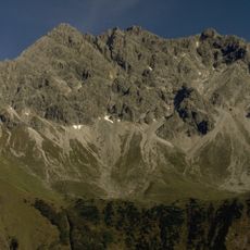
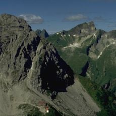
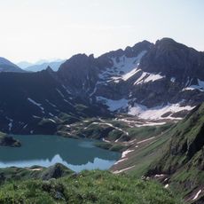
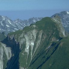
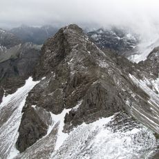
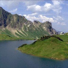
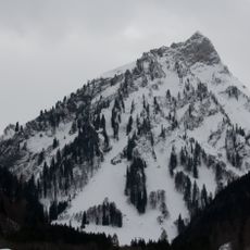
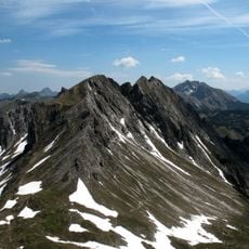
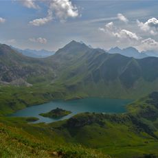
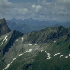
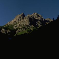
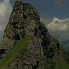
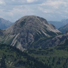
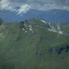
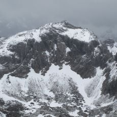
Glasfelderkopf is a mountain peak in the Allgau Alps standing at approximately 2,270 meters with slopes composed of dolomite rock. The formations visible on the mountainside show the geological character typical of this region of the range.
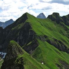
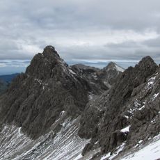
The Glasfelderkopf is the southernmost summit of the mountain chain named after the Rauhhorn, separated from the Kesselspitz to the southeast by the Bockkarscharte. No marked trail leads to the top; climbers reach it either from the Bockkarscharte (grade I) or from the Lärchwand (grade II), and both approaches demand sure-footedness and mountain experience.
The Glasfelderkopf is the southernmost summit of the mountain chain named after the Rauhhorn, and the Bockkarscharte separates it from the Kesselspitz to the southeast. Its unmarked approaches from the Bockkarscharte (grade I) or the Lärchwand (grade II) are routes for experienced climbers with sure footing, not for casual walkers.
The hike to the summit typically starts from the Prinz-Luitpold-Haus base station and takes about 90 minutes on foot. Visitors should bring sturdy footwear and layers of clothing to handle changing mountain weather conditions.
No marked trail leads to the summit. Climbers reach it either from the Bockkarscharte (grade I) or from the Lärchwand (grade II), and both approaches demand sure-footedness and mountain experience. The Glasfelderkopf is also the southernmost summit of the mountain chain named after the Rauhhorn.
The community of curious travelers
AroundUs brings together thousands of curated places, local tips, and hidden gems, enriched daily by 94,366 contributors worldwide.