·

Enable Location

We need your location to show you interesting places around you

Discover nearby places

Find interesting locations and hidden gems around you

Precise directions

Get accurate directions and distances to places

Your location is never shared with other users. It's only used when you tap the location button.

Kreuzspitze

Log in to your account

Start exploring — it's free

Trusted by 62,653 travelers worldwide

Continue with Google
Continue with Apple
or

We will send you a code to connect

By continuing, you accept our Terms and Conditions and our Privacy Policy

Check your inbox

We've sent a pincode in your inbox. Please enter the code below.

Kreuzspitze

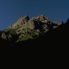
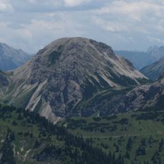
Kreuzspitze, Mountain summit in Hinterhornbach, Austria

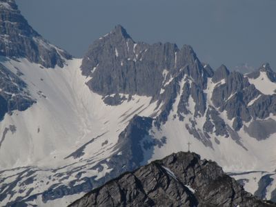
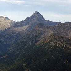
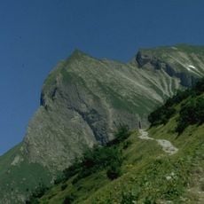
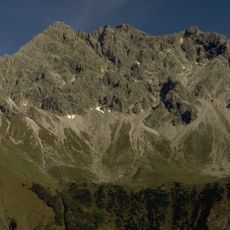
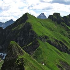
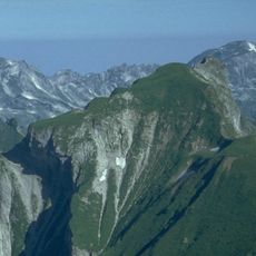
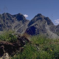
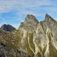
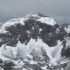
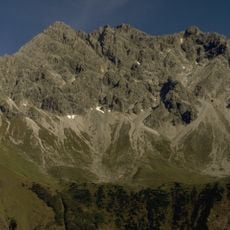
Kreuzspitze is a mountain summit in the Allgäu Alps that rises to about 2367 meters and marks the border between Bavaria and Tyrol. The peak features limestone formations and steep slopes that shape its distinctive character.

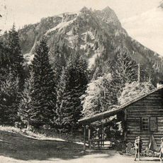
The first documented ascent occurred in 1865 when Franz Senn and Cyprian Granbichler established the initial climbing route to the summit. This early exploration marked the beginning of regular mountaineering activity on this peak.

The mountain's name refers to its cross-shaped outline visible from certain viewpoints, reflecting how Alpine communities named peaks based on their appearance. This naming tradition shows how closely local people observed and described their surrounding landscape.

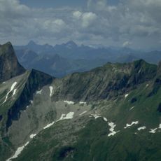
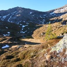
Hikers reach the summit via marked trails from Hinterhornbach or Bad Hindelang, with the main season running from June through September. During these months, conditions are most favorable and the routes most manageable.

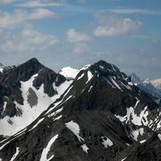
The mountain contains several small glaciers that create distinct microclimates and support rare Alpine plants. These glacial areas allow visitors to observe plants specially adapted to extreme high-altitude conditions.

The community of curious travelers

AroundUs brings together thousands of curated places, local tips, and hidden gems, enriched daily by 60,000 contributors worldwide.

Start exploring
Location
Location
Elevation above the sea
2,367 m
GPS coordinates
47.38387,10.43094
Latest update
December 14, 2025 18:43
« Kreuzspitze - Mountain summit in Hinterhornbach, Austria » is provided by Around Us (aroundus.com). Images and texts are derived from Wikimedia project under a Creative Commons license. You are allowed to copy, distribute, and modify copies of this page, under the conditions set by the license, as long as this note is clearly visible.

Discover hidden gems everywhere you go!

From secret cafés to breathtaking viewpoints, skip the crowded tourist spots and find places that match your style. Our app makes it easy with voice search, smart filtering, route optimization, and insider tips from travelers worldwide. Download now for the complete mobile experience.

Around Us App Screenshot

A unique approach to discovering new places

Le Figaro

All the places worth exploring

France Info

A tailor-made excursion in just a few clicks

20 Minutes

Around Us
Travel Guide & Maps
Download

Send to your phone

QR Code
1

Open the camera app on your mobile.

2

Point at the QR code with your camera. A notification will appear.

3

Tap the notification to open the link.