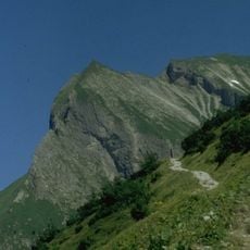
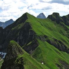
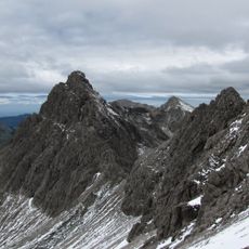
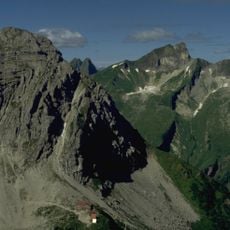
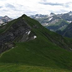
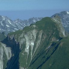
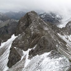
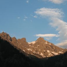
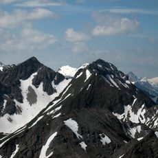
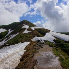
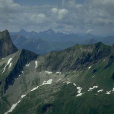
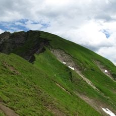
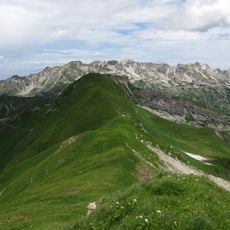
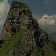
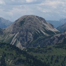
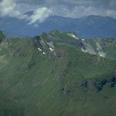
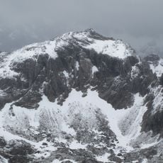
Giebel, Mountain summit in Bavaria, Germany
Giebel is the northeastern corner of the Salober ridge, which branches northeast from the Laufbacher Eck in the Allgäu Alps. The German source gives its height as 1,957 m above sea level, the English one as 1,949 m; it is counted among the Allgäu grass mountains although it is not an independent peak. Its botany resembles that of the Höfats and the Schneck.
The Giebel is not an independent mountain but the northeastern corner of the Salober ridge, which branches off at the Laufbacher Eck. Its height is given as 1957 m above sea level in German sources and 1949 m in English ones. The ridge crossing from the Giebel over the Berggächtle and Salober to the Laufbacher Eck is rated UIAA grade III and is only occasionally attempted.
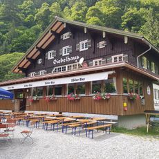
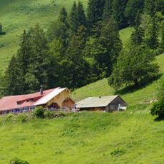
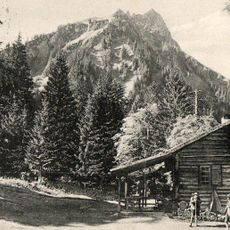
The Giebel's name means "gable" in German, a reference to its triangular profile. Its flora resembles that of the Höfats and the Schneck, and the mountain counts among the Allgäu grass mountains, though it is not a separate peak but the northeastern corner of the Salober ridge. Below it to the northeast stands the Giebelhaus, an Alpine hut reached by a road from Hinterstein closed to general traffic.
Reaching the summit requires advanced mountaineering skills due to the absence of marked trails and steep terrain. Most ascent routes begin from Feldalpe and cross unmarked mountain territory with challenging rock sections.
The ridge connecting Giebel to Berggächtle and Laufbacher Eck offers a technically demanding traverse that attracts experienced mountaineers. The route demands careful footwork and comfort on exposed rock with significant drop-offs on both sides.
The community of curious travelers
AroundUs brings together thousands of curated places, local tips, and hidden gems, enriched daily by 94,639 contributors worldwide.