Westlicher Wengenkopf, Mountain summit in Swabia, Germany.
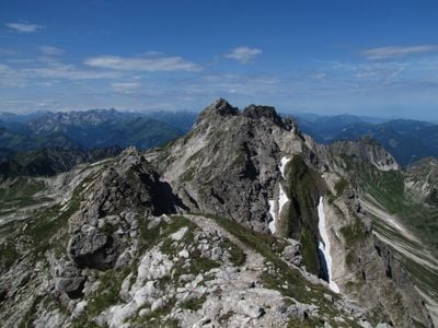
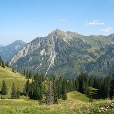
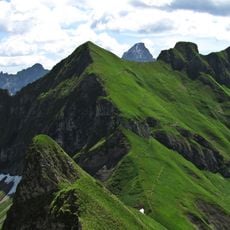
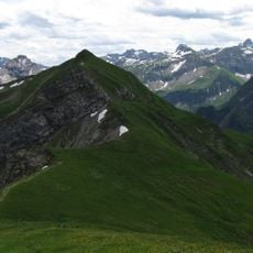
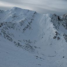
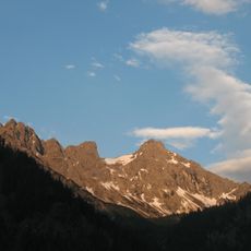
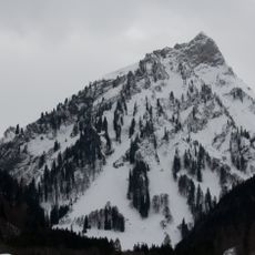
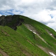
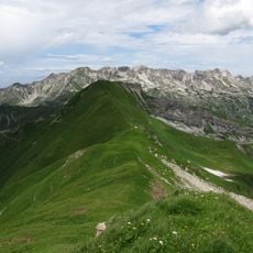
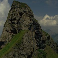
Westlicher Wengenkopf is a mountain summit in the Allgäu Alps that reaches 2,235 meters elevation. The north side drops away steeply, while the south side slopes gradually toward the surrounding pastures.
The mountain was first mapped in 1774 in Peter Anich's Atlas Tyrolensis, where it was labeled as Wenger Kopf B. This cartographic work was an important record of the Alpine region at that time.
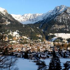
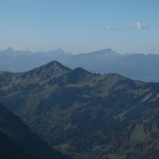
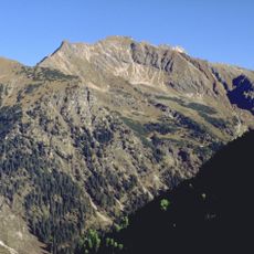
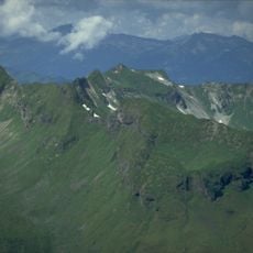
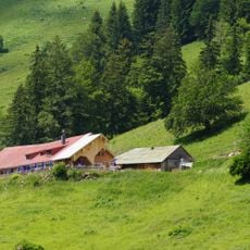
The name Wengen comes from Wang, meaning natural pastureland, reflecting the traditional Alpine farming practices of the Bavarian region. The landscape still shows signs of this use and shapes how the area looks today.
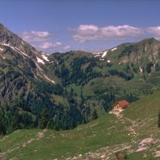
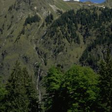
Edmund-Probst-Haus at 1,927 meters (6,322 feet) offers a natural starting point for climbs, and the Nebelhornbahn cable car links the mountain to the valley. Good footwear and preparation for mountain conditions matter for any route here.
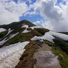
The Hindelanger via ferrata crosses the summit and offers a climbing route with partially unsecured passages at grade I difficulty. This route blends hiking and climbing in a distinctive way.
The community of curious travelers
AroundUs brings together thousands of curated places, local tips, and hidden gems, enriched daily by 60,000 contributors worldwide.