Rotspitze, Mountain peak in Allgäu Alps, Germany
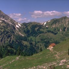
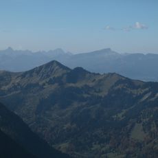
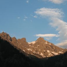
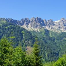
Rotspitze (also Rotspitz) is a 2034 m high mountain in the Allgäu Alps, its triangular shape making it stand out from the area around Sonthofen. Northeast of the summit lies the Breitenberg (1893 m), linked to it by a ridge that bends north at the Heubatspitze (2008 m); that northern section, the Hohen Gänge, is the final stretch of the Hindelang via ferrata. Its prominence is 139 m down to the Hasenecksattel (1895 m).
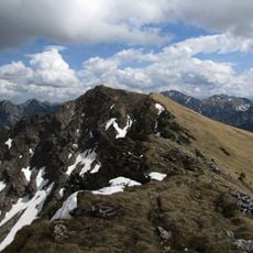
The Rotspitz is climbed via marked, rope-secured routes from the Retterschwanger Tal, reached from the Hinterstein car park by the E-Werk. Ascents run north through the Häbelesgund or south from the Haseneckalpe area. The Hohen Gänge ridge, the final section of the Hindelanger Klettersteig, connects the summit over the Heubatspitze (2008 m) and Breitenberg (1893 m).
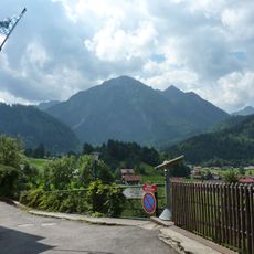
The Hohe Gänge ridge leading to the Heubatspitze (2008 m) forms the final section of the Hindelanger Klettersteig, a via ferrata, so climbers on the Rotspitz's north ridge share the route with this marked, rope-secured itinerary. The mountain's triangular profile is a familiar sight from the Sonthofen area.
Three marked routes lead to the summit from the Hinterstein car park by the power station. The southern path via the Untere and Mittlere Haseneckalm starts on asphalt and needs sure footing and stamina at the end. The northern Häbelesgund route climbs in serpentines, is secured by rope near the top and should only be attempted in dry weather.
Along the northern ridge descent through Häblesgrund stands an abandoned mountain hut that speaks to past alpine activities in this area. This hut is rarely visited by modern climbers and offers insight into how this mountain region was once used.
The community of curious travelers
AroundUs brings together thousands of curated places, local tips, and hidden gems, enriched daily by 93,749 contributors worldwide.