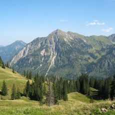
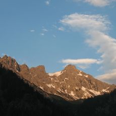
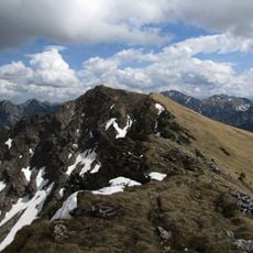
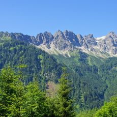
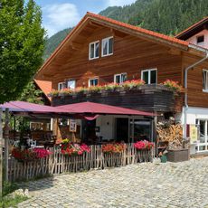
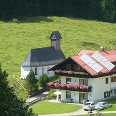
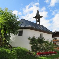
Breitenberg, Mountain summit in Allgäu Alps, Bavaria, Germany.
Breitenberg is a mountain in the Allgäu Alps that reaches about 1,900 meters and features steep rocky slopes on several sides. Multiple routes wind through different kinds of terrain to lead climbers to the summit.
On 6 May 1966, a 400-metre section of the eastern slope collapsed and fell into the Ostrachtal. The Breitenberg's north summit, marked by a summit cross, rises 1,893 metres and has only 16 metres of prominence over the south summit. The south summit reaches 1,946 metres as a sub-peak of the Rotspitz.
The northern summit, at 1,893 m, carries the summit cross and is the point labelled Breitenberg on maps, although it rises only 16 m above the saddle to the southern summit at 1,946 m. The southern summit is a sub-peak of the Rotspitz. Climbers based in Hinterstein reach both in about three hours on footpaths through forest, pasture and rock.
The mountain can be reached via several marked paths, with the eastern route offering a moderate hiking experience. Proper footwear and weather-appropriate clothing are needed, and mountain conditions change throughout the year.
On 6 May 1966, a 400-metre stretch of the eastern slope gave way and crashed into the Ostrachtal valley below. The scar of this landslide remains visible on the mountain's east face.
The community of curious travelers
AroundUs brings together thousands of curated places, local tips, and hidden gems, enriched daily by 94,641 contributors worldwide.