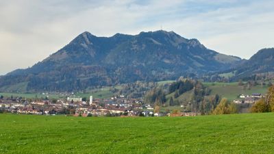
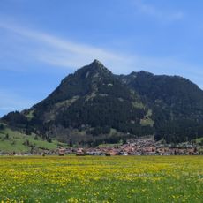
Grünten, Mountain summit in Bavaria, Germany.
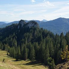
Grünten is a mountain summit reaching 1738 meters and standing as a northern outpost of the Allgäu Alps in Bavaria. Its distinctive cone shape and open slopes allow hikers to climb from multiple directions, with the Grunten hut serving as a waypoint for those ascending from the Kammeregg-Alp side.
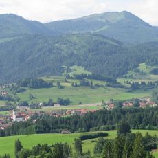
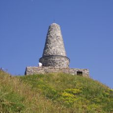
The summit has long served as an important hiking destination in the Allgäu region, with the mountain playing a role in local mountain culture. A memorial at the top honors mountain troops who died in Alpine combat during World War One, marking the mountain's connection to that historical period.
The radio tower on the lower slopes is a visible landmark that has shaped the mountain's appearance for generations and represents the modern infrastructure woven into Alpine life. From the summit, visitors encounter this structure as part of the working landscape rather than as a barrier to nature.
The mountain offers several hiking routes of varying difficulty, with the T3 trail starting from the Kammeregg-Alp parking area and passing through the Grunten hut before reaching the summit. Visitors should wear sturdy boots and bring appropriate gear since mountain weather can shift quickly and snow or ice may be present depending on the season.
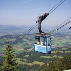
Since 2014, a cable car connects Rettenberg village to the lower slopes and now operates solely to transport materials and staff for the radio station operations. Originally built for visitor access, this cable way has shifted to a behind-the-scenes role supporting the infrastructure that keeps the transmitter running.
The community of curious travelers
AroundUs brings together thousands of curated places, local tips, and hidden gems, enriched daily by 60,000 contributors worldwide.